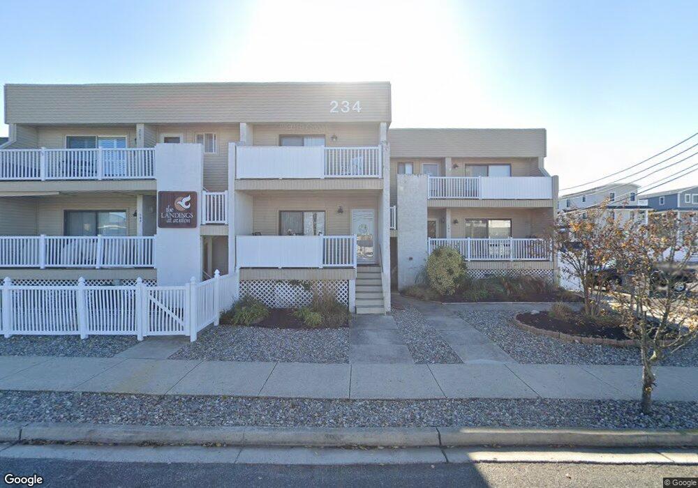
234 21st St Unit 101 Avalon, NJ 08202
Estimated Value: $804,855 - $1,262,000
--
Bed
--
Bath
980
Sq Ft
$1,025/Sq Ft
Est. Value
About This Home
This home is located at 234 21st St Unit 101, Avalon, NJ 08202 and is currently estimated at $1,004,964, approximately $1,025 per square foot. 234 21st St Unit 101 is a home located in Cape May County with nearby schools including Avalon Elementary School.
Ownership History
Date
Name
Owned For
Owner Type
Purchase Details
Closed on
Apr 21, 2008
Sold by
Conwell Bruce B
Bought by
Evers Raymond J and Creighton Robert
Current Estimated Value
Home Financials for this Owner
Home Financials are based on the most recent Mortgage that was taken out on this home.
Original Mortgage
$296,250
Interest Rate
5.94%
Mortgage Type
Purchase Money Mortgage
Purchase Details
Closed on
Jan 23, 2007
Sold by
Creighton Robert
Bought by
Evers Raymond J
Home Financials for this Owner
Home Financials are based on the most recent Mortgage that was taken out on this home.
Original Mortgage
$298,000
Interest Rate
5.14%
Mortgage Type
Purchase Money Mortgage
Purchase Details
Closed on
Oct 6, 1997
Sold by
Swales Thomas G
Bought by
Byrne Michael J and Bryne Sandra H
Home Financials for this Owner
Home Financials are based on the most recent Mortgage that was taken out on this home.
Original Mortgage
$76,000
Interest Rate
7.17%
Create a Home Valuation Report for This Property
The Home Valuation Report is an in-depth analysis detailing your home's value as well as a comparison with similar homes in the area
Home Values in the Area
Average Home Value in this Area
Purchase History
| Date | Buyer | Sale Price | Title Company |
|---|---|---|---|
| Evers Raymond J | $395,000 | None Available | |
| Evers Raymond J | -- | None Available | |
| Byrne Michael J | $95,000 | -- |
Source: Public Records
Mortgage History
| Date | Status | Borrower | Loan Amount |
|---|---|---|---|
| Previous Owner | Evers Raymond J | $296,250 | |
| Previous Owner | Evers Raymond J | $298,000 | |
| Previous Owner | Byrne Michael J | $76,000 |
Source: Public Records
Tax History Compared to Growth
Tax History
| Year | Tax Paid | Tax Assessment Tax Assessment Total Assessment is a certain percentage of the fair market value that is determined by local assessors to be the total taxable value of land and additions on the property. | Land | Improvement |
|---|---|---|---|---|
| 2025 | $2,640 | $430,000 | $284,800 | $145,200 |
| 2024 | $2,640 | $430,000 | $284,800 | $145,200 |
| 2023 | $2,619 | $430,000 | $284,800 | $145,200 |
| 2022 | $2,442 | $430,000 | $284,800 | $145,200 |
| 2021 | $2,193 | $430,000 | $284,800 | $145,200 |
| 2020 | $2,262 | $430,000 | $284,800 | $145,200 |
| 2019 | $2,193 | $430,000 | $284,800 | $145,200 |
| 2018 | $2,098 | $430,000 | $284,800 | $145,200 |
| 2017 | $2,201 | $395,900 | $265,000 | $130,900 |
| 2016 | $2,177 | $395,900 | $265,000 | $130,900 |
| 2015 | $2,142 | $395,900 | $265,000 | $130,900 |
| 2014 | $2,118 | $395,900 | $265,000 | $130,900 |
Source: Public Records
Map
Nearby Homes
- 234 21st St Unit 203
- 234 21st St Unit 102
- 234 21st St Unit 105
- 234 21st St Unit 206
- 234 21st St Unit 201
- 234 21st St Unit 103
- 234 21st St Unit 106
- 234 21st St
- 224 21st St Unit 2
- 224 21st St
- 250 21st St
- 227 22nd St
- 219 22nd St
- 243 22nd St
- 247 22nd St
- 2108 Dune Dr
- 259 22nd St
- 2150 Dune Dr Unit 2
- 2150 Dune Dr
- 262 21st St Unit 262