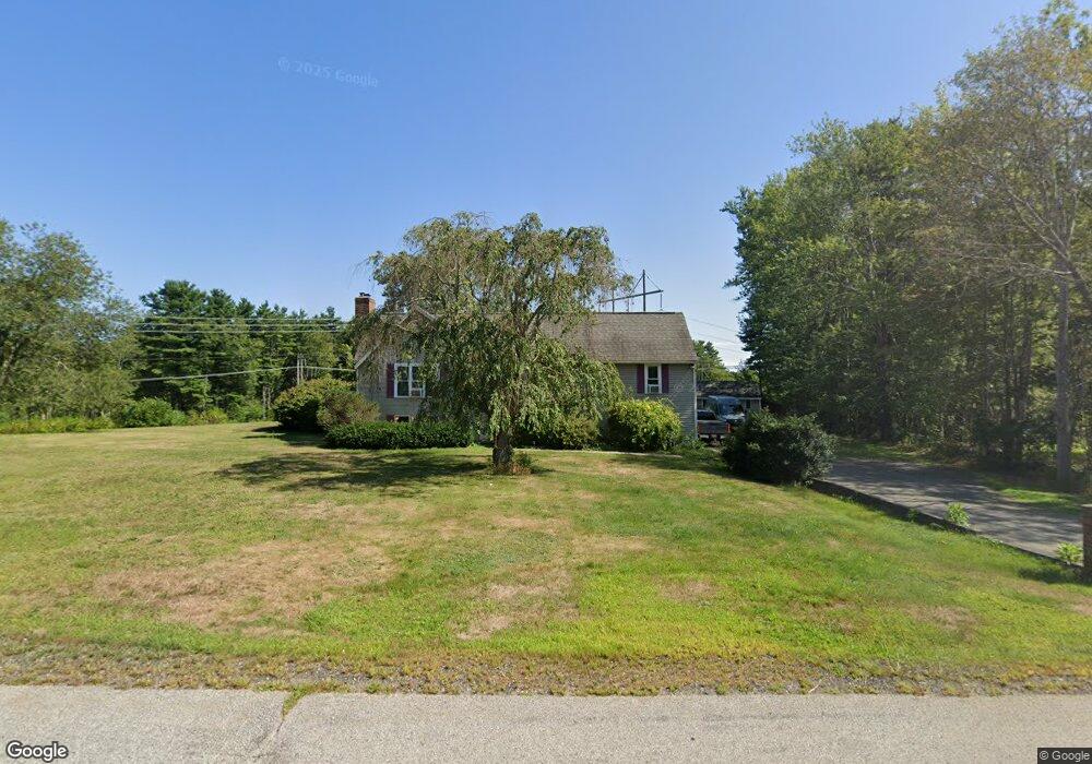
234 Bolt Hill Rd Eliot, ME 03903
South Eliot NeighborhoodEstimated Value: $543,000 - $627,000
4
Beds
3
Baths
1,378
Sq Ft
$426/Sq Ft
Est. Value
About This Home
This home is located at 234 Bolt Hill Rd, Eliot, ME 03903 and is currently estimated at $586,419, approximately $425 per square foot. 234 Bolt Hill Rd is a home located in York County with nearby schools including Marshwood High School and Seacoast Waldorf School.
Ownership History
Date
Name
Owned For
Owner Type
Purchase Details
Closed on
Dec 13, 2005
Sold by
Reichert Gene and Reichert Rene M
Bought by
Gardner Sarah and Merrill David W
Current Estimated Value
Home Financials for this Owner
Home Financials are based on the most recent Mortgage that was taken out on this home.
Original Mortgage
$233,600
Outstanding Balance
$129,767
Interest Rate
6.17%
Mortgage Type
Purchase Money Mortgage
Estimated Equity
$456,652
Create a Home Valuation Report for This Property
The Home Valuation Report is an in-depth analysis detailing your home's value as well as a comparison with similar homes in the area
Home Values in the Area
Average Home Value in this Area
Purchase History
| Date | Buyer | Sale Price | Title Company |
|---|---|---|---|
| Gardner Sarah | -- | -- |
Source: Public Records
Mortgage History
| Date | Status | Borrower | Loan Amount |
|---|---|---|---|
| Open | Gardner Sarah | $233,600 |
Source: Public Records
Tax History Compared to Growth
Tax History
| Year | Tax Paid | Tax Assessment Tax Assessment Total Assessment is a certain percentage of the fair market value that is determined by local assessors to be the total taxable value of land and additions on the property. | Land | Improvement |
|---|---|---|---|---|
| 2024 | $4,405 | $371,700 | $144,000 | $227,700 |
| 2023 | $4,236 | $345,800 | $136,900 | $208,900 |
| 2022 | $4,070 | $336,400 | $136,900 | $199,500 |
| 2021 | $4,020 | $297,800 | $103,200 | $194,600 |
| 2020 | $4,004 | $272,400 | $98,300 | $174,100 |
| 2019 | $2,908 | $272,400 | $98,300 | $174,100 |
| 2018 | $4,004 | $272,400 | $98,300 | $174,100 |
| 2017 | $2,866 | $272,400 | $98,300 | $174,100 |
| 2016 | $3,827 | $272,400 | $98,300 | $174,100 |
| 2015 | $3,814 | $272,400 | $98,300 | $174,100 |
| 2014 | $3,773 | $273,400 | $98,300 | $175,100 |
| 2013 | $3,601 | $273,400 | $98,300 | $175,100 |
Source: Public Records
Map
Nearby Homes
- 8 Caslyn Dr
- 35 Leach Rd
- 493 Main St
- 850 Main St
- 18 Shipping Ln
- 7 Fernald Rd
- 956 Main St
- 5 Spinney Way Unit 9
- 0 Franks Fort Island Unit 1631886
- 197 State Rd
- 124 Spinnaker Way
- 27 Oak Terrace
- 25 Oak Terrace
- 46 Littlebrook Ln
- 165 Rogers Rd
- 201 Kearsarge Way
- 25 Mangrove St
- 14 Birch St
- 3 Shearwater Dr Unit 1900
- 20 Mendum Ave
- LOT 2 Rte 236 and Bolt Hill Rd
- 52 Bolt Hill Rd
- 53 Bolt Hill Rd
- 235 Bolt Hill Rd
- 231 Bolt Hill Rd
- 226 Bolt Hill Rd
- 243 Bolt Hill Rd
- 48 Bolt Hill Rd
- 224 Bolt Hill Rd
- 219 Bolt Hill Rd
- 220 Bolt Hill Rd
- 247 Bolt Hill Rd
- 247 Bolt Hill Rd
- 247 Bolt Hill Rd
- 15 Hickory Ln
- 215 Bolt Hill Rd
- 14 Hickory Ln
- 213 Bolt Hill Rd
- 212 Bolt Hill Rd
- 5 Hickory Ln