234 Brogdon Cir Royston, GA 30662
Estimated Value: $933,868
--
Bed
--
Bath
155,000
Sq Ft
$6/Sq Ft
Est. Value
About This Home
This home is located at 234 Brogdon Cir, Royston, GA 30662 and is currently estimated at $933,868, approximately $6 per square foot. 234 Brogdon Cir is a home located in Franklin County with nearby schools including Franklin County High School, Grace Ranch Academy, and Cornerstone Christian Academy.
Ownership History
Date
Name
Owned For
Owner Type
Purchase Details
Closed on
Dec 31, 2021
Sold by
Cronan Kacy K
Bought by
Gwar Holdings Llc
Current Estimated Value
Purchase Details
Closed on
Feb 11, 2016
Sold by
Beaulieu Grp Llc
Bought by
Cornan Kacy K
Purchase Details
Closed on
Apr 1, 2002
Sold by
Marglen Industries I
Bought by
Beaulieu Group Llc
Purchase Details
Closed on
Jul 30, 1998
Sold by
Franklin Co Industra
Bought by
Marglen Industries I
Create a Home Valuation Report for This Property
The Home Valuation Report is an in-depth analysis detailing your home's value as well as a comparison with similar homes in the area
Home Values in the Area
Average Home Value in this Area
Purchase History
| Date | Buyer | Sale Price | Title Company |
|---|---|---|---|
| Gwar Holdings Llc | -- | -- | |
| Cornan Kacy K | $179,900 | -- | |
| Beaulieu Group Llc | $1,450,000 | -- | |
| Marglen Industries I | $1,450,000 | -- |
Source: Public Records
Tax History Compared to Growth
Tax History
| Year | Tax Paid | Tax Assessment Tax Assessment Total Assessment is a certain percentage of the fair market value that is determined by local assessors to be the total taxable value of land and additions on the property. | Land | Improvement |
|---|---|---|---|---|
| 2024 | $7,076 | $297,275 | $21,200 | $276,075 |
| 2023 | $7,670 | $297,275 | $21,200 | $276,075 |
| 2022 | $7,305 | $283,121 | $21,187 | $261,934 |
| 2021 | $2,024 | $73,575 | $21,187 | $52,388 |
| 2020 | $2,046 | $73,575 | $21,187 | $52,388 |
| 2019 | $1,976 | $73,575 | $21,187 | $52,388 |
| 2018 | $1,976 | $73,575 | $21,187 | $52,388 |
| 2017 | $2,010 | $73,575 | $21,187 | $52,388 |
| 2016 | $5,507 | $188,731 | $38,368 | $150,363 |
| 2015 | -- | $188,730 | $38,369 | $150,362 |
| 2014 | -- | $188,731 | $38,369 | $150,362 |
| 2013 | -- | $188,730 | $38,369 | $150,361 |
Source: Public Records
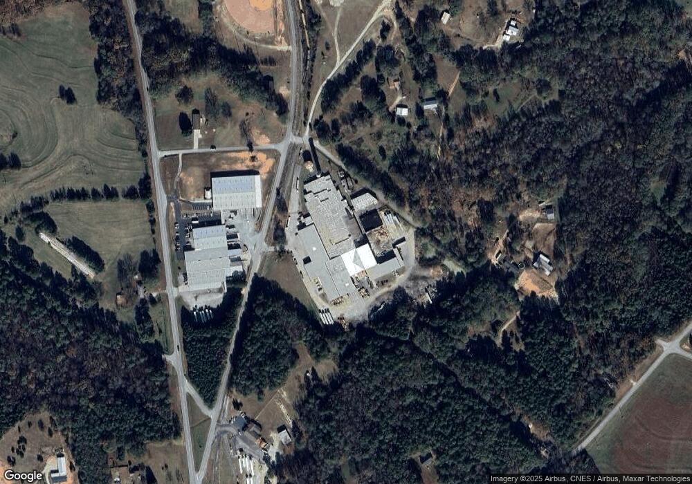
Map
Nearby Homes
- 0 Rice Creek Rd Unit 10403913
- LOT 6 Pine Valley Dr
- 320 Pine Valley Dr
- 157 Grizzle St
- 190 Jordan St
- 134 College St
- 157 Hartwell St
- 331 College St Unit 331 & 333
- 00 Georgia 17
- 342 Phillips Cir
- 221 Cobb Dr
- 204 Detter Rd Unit 5 HOMES ON 3.26 ACRE
- 256 Adams Place Rd
- 121 Cook St
- 641 Church St
- 60 Strickland St
- 0 Wildcat Bridge Rd Unit 23872265
- 0 Wildcat Bridge Rd Unit 10544672
- 464 Church St
- 406 Abc Farm Rd
- 0 Cedarlane Dr Unit 7109638
- 0 Cedarlane Dr Unit 8793073
- 0 Cedarlane Dr Unit 8787002
- 0 Cedarlane Dr Unit 7365284
- 0 Cedarlane Dr Unit 7516526
- 245 Cedarlane Dr
- 0 Cedarlane Dr
- 151 Cedarlane Dr
- 33 Cedarlane Dr
- 151 Cedarlane Dr
- 151 Cedarlane Dr
- 382 Cedarlane Dr
- 0 Campbell Ridge Rd
- 0 Campbell Ridge Rd Unit 10341036
- 0 Campbell Ridge Rd Unit 7467353
- 0 Campbell Ridge Rd Unit 8319998
- 0 Campbell Ridge Rd Unit 7467331
- 0 Campbell Ridge Rd Unit 7531278
- 0 Campbell Ridge Rd Unit 7593891
- 0 Campbell Ridge Rd Unit 7515470