234 Coles Rolling Rd Scottsville, VA 24590
Estimated Value: $447,477 - $622,000
3
Beds
2
Baths
1,344
Sq Ft
$391/Sq Ft
Est. Value
About This Home
This home is located at 234 Coles Rolling Rd, Scottsville, VA 24590 and is currently estimated at $525,159, approximately $390 per square foot. 234 Coles Rolling Rd is a home located in Albemarle County with nearby schools including Scottsville Elementary School, Walton Middle School, and Monticello High School.
Ownership History
Date
Name
Owned For
Owner Type
Purchase Details
Closed on
Apr 29, 2016
Sold by
Townsend Peyton S and Sullivan Invana M
Bought by
Townsend Peyton S and Townsend Stuart W
Current Estimated Value
Home Financials for this Owner
Home Financials are based on the most recent Mortgage that was taken out on this home.
Original Mortgage
$140,000
Interest Rate
3.71%
Mortgage Type
New Conventional
Create a Home Valuation Report for This Property
The Home Valuation Report is an in-depth analysis detailing your home's value as well as a comparison with similar homes in the area
Home Values in the Area
Average Home Value in this Area
Purchase History
| Date | Buyer | Sale Price | Title Company |
|---|---|---|---|
| Townsend Peyton S | -- | -- |
Source: Public Records
Mortgage History
| Date | Status | Borrower | Loan Amount |
|---|---|---|---|
| Closed | Townsend Peyton S | $140,000 |
Source: Public Records
Tax History Compared to Growth
Tax History
| Year | Tax Paid | Tax Assessment Tax Assessment Total Assessment is a certain percentage of the fair market value that is determined by local assessors to be the total taxable value of land and additions on the property. | Land | Improvement |
|---|---|---|---|---|
| 2025 | $3,589 | $401,500 | $86,700 | $314,800 |
| 2024 | $3,106 | $347,800 | $82,500 | $265,300 |
| 2023 | $2,579 | $302,000 | $65,700 | $236,300 |
| 2022 | $2,347 | $274,800 | $57,800 | $217,000 |
| 2021 | $2,080 | $243,600 | $51,500 | $192,100 |
| 2020 | $2,046 | $239,600 | $51,500 | $188,100 |
| 2019 | $1,846 | $216,200 | $45,400 | $170,800 |
| 2018 | $2,027 | $243,600 | $72,300 | $171,300 |
| 2017 | $547 | $65,200 | $65,200 | $0 |
| 2016 | $727 | $86,700 | $86,700 | $0 |
| 2015 | $710 | $86,700 | $86,700 | $0 |
| 2014 | -- | $86,700 | $86,700 | $0 |
Source: Public Records
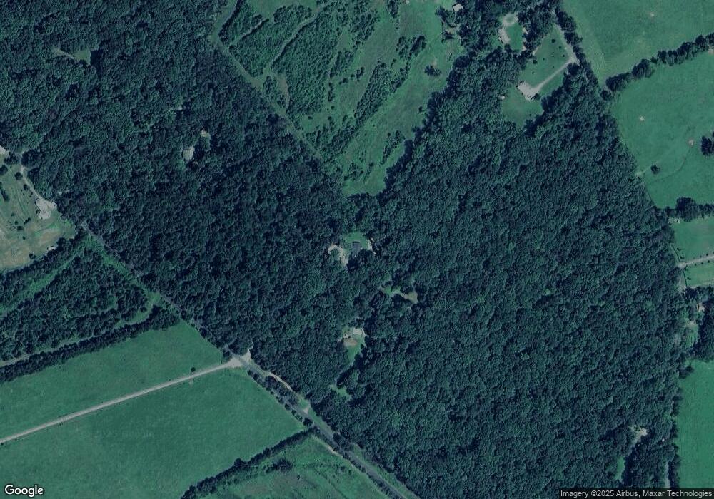
Map
Nearby Homes
- 6887 Blenheim Rd
- 76.99 acres Coles Rolling Rd
- 8026 Albevanna Spring Rd
- 510 Mount Pleasant Farm Rd
- TBD Sharps Creek Rd
- TBD Hundley Branch Rd
- 0 Forest Ridge Ln Unit 640138
- 6518 Jefferson Mill Rd
- 745 Albevanna Spring Rd
- 278 James River Rd
- 690 Page St
- 550 Valley St
- 0 Antioch Rd Unit 669798
- 0 Antioch Rd Unit 8B
- 485 Valley St
- 6308 Jefferson Mill Rd
- 218 Coles Rolling Rd
- 280 Coles Rolling Rd
- 7120 Blenheim Rd
- 7100 Blenheim Rd
- 291 Coles Rolling Rd
- 7088 Blenheim Rd
- 308 Coles Rolling Rd
- 7334 Blenheim Rd
- 7263 Blenheim Rd
- 7195 Blenheim Rd
- 7251 Blenheim Rd
- 7069 Blenheim Rd
- 7354 Blenheim Rd
- 0 Blenheim Rd Unit 566992
- 0 Blenheim Rd Unit 462985
- 0 Blenheim Rd Unit 555889
- 0 Blenheim Rd Unit VAAB102020
- 0 Blenheim Rd Unit VAAB102046
- 0 Blenheim Rd Unit VAAB102014
- 0 Blenheim Rd Unit 494554