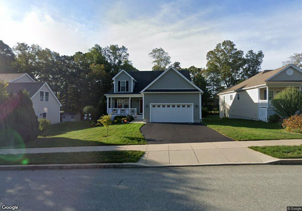
234 Ensign Dr Groton, CT 06355
West Mystic NeighborhoodEstimated Value: $610,974 - $751,000
3
Beds
7
Baths
1,767
Sq Ft
$373/Sq Ft
Est. Value
About This Home
This home is located at 234 Ensign Dr, Groton, CT 06355 and is currently estimated at $658,744, approximately $372 per square foot. 234 Ensign Dr is a home located in New London County with nearby schools including Northeast Academy Arts Magnet School, Groton Middle School, and Robert E. Fitch High School.
Ownership History
Date
Name
Owned For
Owner Type
Purchase Details
Closed on
Oct 30, 2014
Sold by
Jsg Development Llc
Bought by
Galante Carol P and Galante Vincent B
Current Estimated Value
Home Financials for this Owner
Home Financials are based on the most recent Mortgage that was taken out on this home.
Original Mortgage
$78,000
Outstanding Balance
$57,469
Interest Rate
3%
Mortgage Type
Adjustable Rate Mortgage/ARM
Estimated Equity
$601,275
Create a Home Valuation Report for This Property
The Home Valuation Report is an in-depth analysis detailing your home's value as well as a comparison with similar homes in the area
Home Values in the Area
Average Home Value in this Area
Purchase History
| Date | Buyer | Sale Price | Title Company |
|---|---|---|---|
| Galante Carol P | $408,400 | -- |
Source: Public Records
Mortgage History
| Date | Status | Borrower | Loan Amount |
|---|---|---|---|
| Open | Galante Carol P | $78,000 |
Source: Public Records
Tax History Compared to Growth
Tax History
| Year | Tax Paid | Tax Assessment Tax Assessment Total Assessment is a certain percentage of the fair market value that is determined by local assessors to be the total taxable value of land and additions on the property. | Land | Improvement |
|---|---|---|---|---|
| 2025 | $8,123 | $298,410 | $138,866 | $159,544 |
| 2024 | $7,546 | $298,410 | $138,866 | $159,544 |
| 2023 | $7,253 | $298,410 | $70,490 | $227,920 |
| 2022 | $7,094 | $298,410 | $70,490 | $227,920 |
| 2021 | $7,018 | $249,130 | $92,750 | $156,380 |
| 2020 | $6,961 | $249,130 | $92,750 | $156,380 |
| 2019 | $6,659 | $249,130 | $92,750 | $156,380 |
| 2018 | $6,580 | $249,130 | $92,750 | $156,380 |
| 2017 | $6,457 | $249,130 | $92,750 | $156,380 |
| 2016 | $6,305 | $262,290 | $107,310 | $154,980 |
| 2015 | $6,096 | $262,290 | $107,310 | $154,980 |
| 2014 | $2,435 | $107,310 | $107,310 | $0 |
Source: Public Records
Map
Nearby Homes
- 103 Flanders Rd
- 95 Flanders Rd
- 201 Daniel Brown Dr
- 80 Farmstead Ave
- 190 Judson Ave
- 518 Noank Ledyard Rd
- 233 High Meadow Ln
- 12 Donna Dr
- 17 Brookside Ln
- 255 Capstan Ave
- 3 Fort Hill Rd
- 130 Ocean View Ave
- 295 Midway Oval
- 30 Midway Oval
- 190 Library St
- 75 Midway Oval
- 375 Allyn St Unit 2
- 26 Charles St
- 147 Pequot Ave
- 24 W Mystic Ave
- 226 Ensign Dr
- 240 Ensign Dr
- 26 Mariners Ln
- 191 Ridgewood Dr
- 216 Ensign Dr
- 183 Ridgewood Dr
- 199 Ridgewood Dr
- 42 Mariners Ln
- 177 Ridgewood Dr
- 210 Ensign Dr
- 231 Ensign Dr
- 207 Ridgewood Dr
- 29 Mariners Ln
- 223 Ensign Dr
- 48 Mariners Ln
- 37 Mariners Ln
- 169 Ridgewood Dr
- 215 Ensign Dr
- 202 Ensign Dr
- 21 Mariners Ln