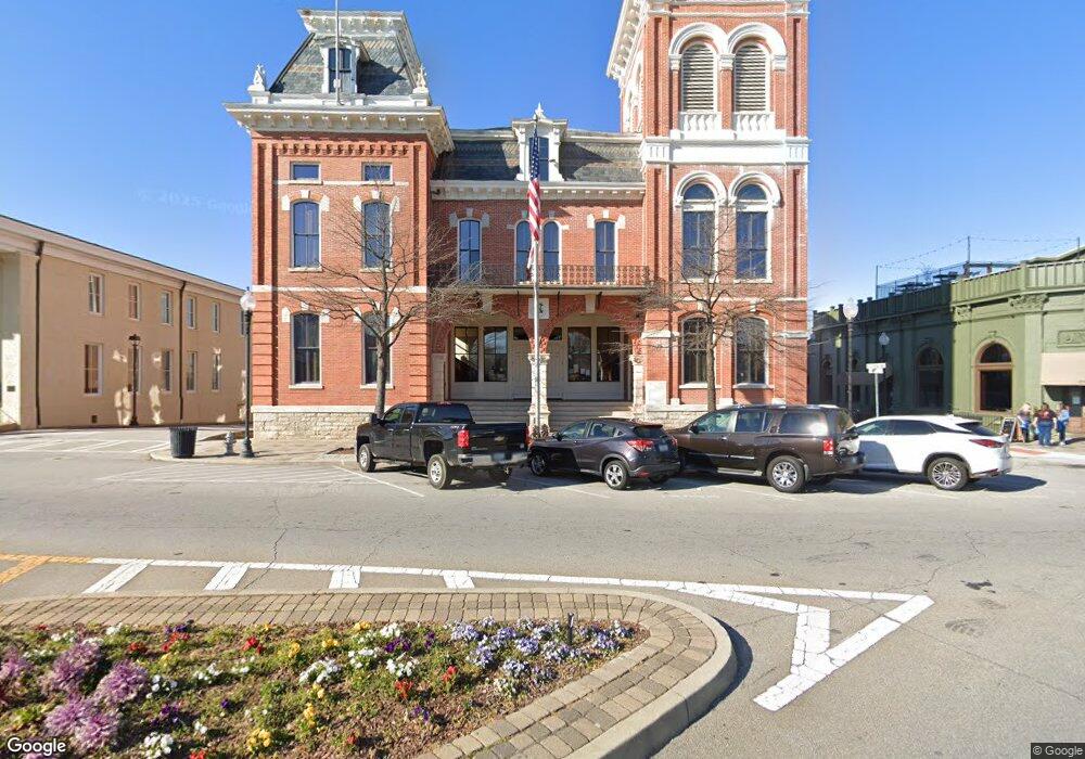
234 Highway 213 Covington, GA 30014
Estimated Value: $202,000 - $252,000
3
Beds
2
Baths
1,308
Sq Ft
$181/Sq Ft
Est. Value
About This Home
This home is located at 234 Highway 213, Covington, GA 30014 and is currently estimated at $236,217, approximately $180 per square foot. 234 Highway 213 is a home located in Newton County with nearby schools including Heard-Mixon Elementary School, Indian Creek Middle School, and Eastside High School.
Ownership History
Date
Name
Owned For
Owner Type
Purchase Details
Closed on
Apr 24, 2012
Sold by
Vanpelt Philip
Bought by
Powell David B
Current Estimated Value
Home Financials for this Owner
Home Financials are based on the most recent Mortgage that was taken out on this home.
Original Mortgage
$60,000
Outstanding Balance
$41,638
Interest Rate
4.01%
Mortgage Type
New Conventional
Estimated Equity
$194,579
Purchase Details
Closed on
Aug 31, 2006
Sold by
Mitchell John M
Bought by
Vanpelt Philip
Home Financials for this Owner
Home Financials are based on the most recent Mortgage that was taken out on this home.
Original Mortgage
$118,500
Interest Rate
6.52%
Mortgage Type
New Conventional
Create a Home Valuation Report for This Property
The Home Valuation Report is an in-depth analysis detailing your home's value as well as a comparison with similar homes in the area
Home Values in the Area
Average Home Value in this Area
Purchase History
| Date | Buyer | Sale Price | Title Company |
|---|---|---|---|
| Powell David B | $43,500 | -- | |
| Vanpelt Philip | $118,500 | -- |
Source: Public Records
Mortgage History
| Date | Status | Borrower | Loan Amount |
|---|---|---|---|
| Open | Powell David B | $60,000 | |
| Previous Owner | Vanpelt Philip | $118,500 |
Source: Public Records
Tax History Compared to Growth
Tax History
| Year | Tax Paid | Tax Assessment Tax Assessment Total Assessment is a certain percentage of the fair market value that is determined by local assessors to be the total taxable value of land and additions on the property. | Land | Improvement |
|---|---|---|---|---|
| 2024 | $2,062 | $85,280 | $7,400 | $77,880 |
| 2023 | $2,120 | $82,000 | $7,400 | $74,600 |
| 2022 | $1,594 | $62,600 | $7,400 | $55,200 |
| 2021 | $1,490 | $53,000 | $7,400 | $45,600 |
| 2020 | $1,394 | $45,400 | $9,000 | $36,400 |
| 2019 | $1,397 | $44,840 | $9,000 | $35,840 |
| 2018 | $723 | $46,040 | $9,000 | $37,040 |
| 2017 | $1,186 | $38,440 | $5,000 | $33,440 |
| 2016 | $1,152 | $37,440 | $4,000 | $33,440 |
| 2015 | $939 | $31,240 | $4,000 | $27,240 |
| 2014 | $1,009 | $29,480 | $0 | $0 |
Source: Public Records
Map
Nearby Homes
- 70 Alcovy Reserve Way
- 90 Alcovy Reserve Way
- 150 Alcovy Reserve Way
- 60 Laurie Ln
- 11489 Highway 36
- 440 Varner St
- 10717 Georgia 36
- 20 Mariposa Place
- 645 5th Ave
- 30 Snapdragon Ln
- 20 Kestrel Cir
- 240 Kestrel Cir
- 72 Woodfield Rd
- 210 Kestrel Cir
- 13262 Tolstoy Dr
- 205 Kestrel Cir
- 30 Woodfield Rd
- 330 River Walk Farm
- 338 River Walk Farm
- 344 River Walk Farm
- 234 Hwy 213
- 216 Highway 213
- 252 Highway 213
- 198 Highway 213
- 10 Alcovy Reserve Way
- 20 Alcovy Reserve Way
- 180 Highway 213
- 30 Alcovy Reserve Way
- 30 Alcovy Reserve Way Unit 53
- 160 Highway 213
- 0 Alcovy Reserve Way Unit 7354752
- 0 Alcovy Reserve Way Unit 7330213
- 0 Alcovy Reserve Way Unit 7354202
- 0 Alcovy Reserve Way Unit 8004381
- 19 Alcovy Reserve Way
- 0 Alcovy Reserve Way Unit 7330162
- 0 Alcovy Reserve Way Unit 7330155
- 0 Alcovy Reserve Way Unit 7330196
- 0 Alcovy Reserve Way Unit 7330180
- 0 Alcovy Reserve Way Unit 8959428
