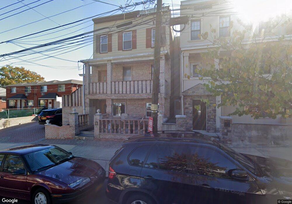
234 Maryland Ave Staten Island, NY 10305
Rosebank NeighborhoodEstimated Value: $709,000 - $781,000
--
Bed
--
Bath
1,788
Sq Ft
$421/Sq Ft
Est. Value
About This Home
This home is located at 234 Maryland Ave, Staten Island, NY 10305 and is currently estimated at $751,968, approximately $420 per square foot. 234 Maryland Ave is a home located in Richmond County with nearby schools including Ps 13 M L Lindenmeyer, I.S. 49 Berta A Dreyfus, and Curtis High School.
Ownership History
Date
Name
Owned For
Owner Type
Purchase Details
Closed on
Dec 23, 2003
Sold by
Urciuoli Samuel
Bought by
Skenderi Albert and Skenderi Elvira
Current Estimated Value
Home Financials for this Owner
Home Financials are based on the most recent Mortgage that was taken out on this home.
Original Mortgage
$297,000
Interest Rate
5.6%
Mortgage Type
Purchase Money Mortgage
Purchase Details
Closed on
Sep 11, 1997
Sold by
Urciuoli Frances
Bought by
Urciuoli Frances and Urciuoli Samuel
Create a Home Valuation Report for This Property
The Home Valuation Report is an in-depth analysis detailing your home's value as well as a comparison with similar homes in the area
Home Values in the Area
Average Home Value in this Area
Purchase History
| Date | Buyer | Sale Price | Title Company |
|---|---|---|---|
| Skenderi Albert | $337,000 | Chicago Title Insurance Co | |
| Urciuoli Frances | $60,000 | Commonwealth Land Title Ins |
Source: Public Records
Mortgage History
| Date | Status | Borrower | Loan Amount |
|---|---|---|---|
| Previous Owner | Skenderi Albert | $297,000 |
Source: Public Records
Tax History Compared to Growth
Tax History
| Year | Tax Paid | Tax Assessment Tax Assessment Total Assessment is a certain percentage of the fair market value that is determined by local assessors to be the total taxable value of land and additions on the property. | Land | Improvement |
|---|---|---|---|---|
| 2025 | $5,237 | $39,900 | $8,375 | $31,525 |
| 2024 | $5,249 | $34,920 | $9,111 | $25,809 |
| 2023 | $5,225 | $27,130 | $9,090 | $18,040 |
| 2022 | $4,835 | $33,360 | $11,580 | $21,780 |
| 2021 | $5,015 | $30,840 | $11,580 | $19,260 |
| 2020 | $4,794 | $31,800 | $11,580 | $20,220 |
| 2019 | $4,497 | $34,500 | $11,580 | $22,920 |
| 2018 | $4,311 | $22,608 | $9,894 | $12,714 |
| 2017 | $4,059 | $21,380 | $11,033 | $10,347 |
| 2016 | $3,900 | $21,060 | $11,580 | $9,480 |
| 2015 | $3,662 | $20,040 | $9,660 | $10,380 |
| 2014 | $3,662 | $19,080 | $9,660 | $9,420 |
Source: Public Records
Map
Nearby Homes
- 109 Saint Johns Ave
- 107 Saint Johns Ave
- 135 Saint Johns Ave
- 0 Tompkins Ave
- 159 Vermont Ave
- 323 Maryland Ave
- 43 Belair Rd
- 124 Virginia Ave
- 269 Clifton Ave
- 271 Clifton Ave
- 273 Clifton Ave
- 50 Belair Rd Unit 1A
- 50 Belair Rd Unit 4I
- 50 Belair Rd Unit 1E
- 338 Hylan Blvd
- 120 Haylan
- 7 Egbert Place
- 320 Clifton Ave
- 1206 Bay St
- 202 Virginia Ave
- 228 Maryland Ave
- 236 Maryland Ave
- 226 Maryland Ave
- 238 Maryland Ave
- 224 Maryland Ave
- 240 Maryland Ave
- 222 Maryland Ave
- 242 Maryland Ave
- 216 Maryland Ave
- 67 Dayna Dr
- 69 Dayna Dr
- 0 Maryland Ave
- 71 Dayna Dr
- 73 Dayna Dr
- 75 Dayna Dr
- 244 Maryland Ave Unit 246
- 244-246 Maryland Ave
- 212 Maryland Ave
- 79 Dayna Dr
- 231 Maryland Ave