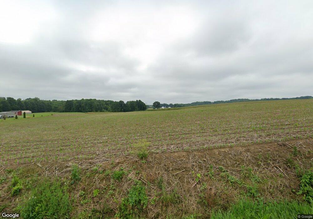
234 Mcbride Rd New Galilee, PA 16141
Estimated Value: $199,000 - $324,000
2
Beds
1
Bath
1,440
Sq Ft
$199/Sq Ft
Est. Value
About This Home
This home is located at 234 Mcbride Rd, New Galilee, PA 16141 and is currently estimated at $286,663, approximately $199 per square foot. 234 Mcbride Rd is a home located in Lawrence County with nearby schools including Mohawk Elementary School and Mohawk Senior High School.
Ownership History
Date
Name
Owned For
Owner Type
Purchase Details
Closed on
Oct 23, 2019
Sold by
Mcbride William Earl
Bought by
Mcbride Michael L and Mcbride Amanda M
Current Estimated Value
Home Financials for this Owner
Home Financials are based on the most recent Mortgage that was taken out on this home.
Original Mortgage
$200,000
Outstanding Balance
$175,210
Interest Rate
3.5%
Mortgage Type
Future Advance Clause Open End Mortgage
Estimated Equity
$111,453
Purchase Details
Closed on
Mar 22, 2013
Sold by
Mcbride Margaret E and Mcbride James L
Bought by
Mcbride William Earl
Purchase Details
Closed on
May 26, 2009
Sold by
Mcbride Mont L and Mcbride Margaret E
Bought by
Mcbride Mont L and Mcbride Margaret E
Create a Home Valuation Report for This Property
The Home Valuation Report is an in-depth analysis detailing your home's value as well as a comparison with similar homes in the area
Home Values in the Area
Average Home Value in this Area
Purchase History
| Date | Buyer | Sale Price | Title Company |
|---|---|---|---|
| Mcbride Michael L | $400,000 | None Available | |
| Mcbride William Earl | -- | None Available | |
| Mcbride Mont L | -- | None Available |
Source: Public Records
Mortgage History
| Date | Status | Borrower | Loan Amount |
|---|---|---|---|
| Open | Mcbride Michael L | $200,000 |
Source: Public Records
Tax History Compared to Growth
Tax History
| Year | Tax Paid | Tax Assessment Tax Assessment Total Assessment is a certain percentage of the fair market value that is determined by local assessors to be the total taxable value of land and additions on the property. | Land | Improvement |
|---|---|---|---|---|
| 2025 | $2,061 | $83,500 | $43,300 | $40,200 |
| 2024 | $2,061 | $123,900 | $83,700 | $40,200 |
| 2023 | $2,066 | $123,900 | $83,700 | $40,200 |
| 2022 | $2,066 | $123,900 | $83,700 | $40,200 |
| 2021 | $1,997 | $121,100 | $83,700 | $37,400 |
| 2020 | $1,997 | $121,100 | $83,700 | $37,400 |
| 2019 | $1,935 | $121,100 | $83,700 | $37,400 |
| 2018 | $1,935 | $121,100 | $83,700 | $37,400 |
| 2017 | $2,771 | $121,100 | $83,700 | $37,400 |
| 2016 | $1,014 | $121,100 | $83,700 | $37,400 |
| 2015 | $1,014 | $121,100 | $83,700 | $37,400 |
| 2014 | $1,014 | $115,900 | $83,700 | $32,200 |
Source: Public Records
Map
Nearby Homes
- 1264 Galilee Rd
- 257 Halltown Rd
- 000
- 00 Haggerty Rd
- 1051 10th St
- 1096 10th St
- 362 Main St
- 422 Beaver St
- 694 John F. Kennedy St
- Lots 61-64 Willow Dr
- Lot 94 Willow Dr
- 231 Old Hickory Rd
- 1107 Main St
- 4167 Edinburg Rd
- 201 Sherwood Dr
- 1862 Shenango Rd
- 1852 Shenango Rd
- 900 Washington Ave Unit 205
- 000 Shenango Rd
- 605 Centennial Ave
- 215 Mcbride Rd
- 181 Bartholomew Rd
- 3192 Wampum Mount Air Rd
- 163 Bartholomew Rd
- 158 Bartholomew Rd
- 432 Mcbride Rd
- 3052 Wampum Mount Air Rd
- 403 Patterson Rd
- 3470 Wampum Mount Air Rd
- 2682 Wampum Mount Air Rd
- 509 Mcbride Rd
- 500 Patterson Rd
- 549 Patterson Rd
- 742 Moravia St
- 103 Bartholomew Rd
- 530 Patterson Rd
- 548 Patterson Rd
- 2799 Wampum Mount Air Rd
- 2479 Wampum Mount Air Rd
- 3744 Wampum Mount Air Rd
