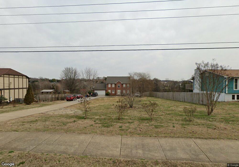
234 McFee Rd Knoxville, TN 37934
Estimated Value: $530,000 - $750,000
About This Home
This home is located at 234 McFee Rd, Knoxville, TN 37934 and is currently estimated at $646,932, approximately $214 per square foot. 234 McFee Rd is a home located in Knox County with nearby schools including Farragut Primary School, Farragut Intermediate School, and Farragut Middle School.
Ownership History
We collect this data history from publicly available records. To have your information removed, we recommend requesting removal directly through your county’s website.
Purchase Details
Home Financials for this Owner
Home Financials are based on the most recent Mortgage that was taken out on this home.Purchase Details
Purchase Details
Purchase Details
Home Financials for this Owner
Home Financials are based on the most recent Mortgage that was taken out on this home.Purchase Details
Home Financials for this Owner
Home Financials are based on the most recent Mortgage that was taken out on this home.Purchase Details
Home Values in the Area
Average Home Value in this Area
Purchase History
We collect this data history from publicly available records. To have your information removed, we recommend requesting removal directly through your county’s website.
| Date | Buyer | Sale Price | Title Company |
|---|---|---|---|
| $280,500 | Volunteer State Title | ||
| -- | None Available | ||
| $189,000 | None Available | ||
| $184,000 | Title Services | ||
| $25,000 | -- | ||
| $20,000 | -- |
Mortgage History
We collect this data history from publicly available records. To have your information removed, we recommend requesting removal directly through your county’s website.
| Date | Status | Borrower | Loan Amount |
|---|---|---|---|
| Open | $275,350 | ||
| Previous Owner | $165,600 | ||
| Previous Owner | $115,000 |
Tax History
We collect this data history from publicly available records. To have your information removed, we recommend requesting removal directly through your county’s website.
| Year | Tax Paid | Tax Assessment Tax Assessment Total Assessment is a certain percentage of the fair market value that is determined by local assessors to be the total taxable value of land and additions on the property. | Land | Improvement |
|---|---|---|---|---|
| 2025 | $1,611 | $103,650 | $0 | $0 |
| 2024 | $1,611 | $103,650 | $0 | $0 |
| 2023 | $1,611 | $103,650 | $0 | $0 |
| 2022 | $1,611 | $103,650 | $0 | $0 |
| 2021 | $1,653 | $77,950 | $0 | $0 |
| 2020 | $1,653 | $77,950 | $0 | $0 |
| 2019 | $1,653 | $77,950 | $0 | $0 |
| 2018 | $1,653 | $77,950 | $0 | $0 |
| 2017 | $1,653 | $77,950 | $0 | $0 |
| 2016 | $1,739 | $0 | $0 | $0 |
| 2015 | $1,739 | $0 | $0 | $0 |
| 2014 | $1,739 | $0 | $0 | $0 |
Map
- 12406 Waterslea Ln
- 12427 Waterslea Ln
- 209 Fence Post Ln
- 305 Lawton Blvd
- 12535 Limerick Ln
- 552 Windham Hill Rd
- 12516 Pony Express Dr
- 104 Carnoustie Point
- 524 Rockwell Farm Ln
- 151 Saint Andrews Dr
- 12927 Meadow Pointe Ln
- 12706 Highwick Cir
- 138 Champions Point
- 818 Hammock Ln
- 330 Barnsley Rd
- 1431 Harvest Moon Ln
- 12903 Highwick Cir
- 12545 Camdenbridge Dr
- 12805 Kingston Pike
- 302 Saint Andrews Dr
Ask me questions while you tour the home.