234 Millingport Ln New London, NC 28127
Estimated Value: $292,000 - $563,000
4
Beds
3
Baths
1,781
Sq Ft
$235/Sq Ft
Est. Value
About This Home
This home is located at 234 Millingport Ln, New London, NC 28127 and is currently estimated at $418,384, approximately $234 per square foot. 234 Millingport Ln is a home with nearby schools including Troy Elementary School, Page Street Elementary School, and West Middle School.
Ownership History
Date
Name
Owned For
Owner Type
Purchase Details
Closed on
Jul 24, 2025
Sold by
Smith Jerry F and Smith Aurelia R
Bought by
Jerry F Smith Revocable Trust and Smith
Current Estimated Value
Purchase Details
Closed on
Sep 8, 2008
Sold by
Smith Jerry F and Smith Aurelia
Bought by
Smith Jerry F
Purchase Details
Closed on
Sep 24, 2007
Sold by
Big Oak Farms Llc
Bought by
Smith Jerry F
Create a Home Valuation Report for This Property
The Home Valuation Report is an in-depth analysis detailing your home's value as well as a comparison with similar homes in the area
Home Values in the Area
Average Home Value in this Area
Purchase History
| Date | Buyer | Sale Price | Title Company |
|---|---|---|---|
| Jerry F Smith Revocable Trust | -- | None Listed On Document | |
| Jerry F Smith Revocable Trust | -- | None Listed On Document | |
| Smith Jerry F | -- | -- | |
| Smith Jerry F | $125,000 | -- |
Source: Public Records
Tax History Compared to Growth
Tax History
| Year | Tax Paid | Tax Assessment Tax Assessment Total Assessment is a certain percentage of the fair market value that is determined by local assessors to be the total taxable value of land and additions on the property. | Land | Improvement |
|---|---|---|---|---|
| 2025 | -- | $213,792 | $20,825 | $192,967 |
| 2024 | -- | $213,792 | $20,825 | $192,967 |
| 2023 | -- | $213,792 | $20,825 | $192,967 |
| 2022 | $0 | $213,792 | $20,825 | $192,967 |
| 2021 | $1,432 | $213,792 | $20,825 | $192,967 |
| 2020 | $1,432 | $213,792 | $20,825 | $192,967 |
| 2018 | $2,033 | $301,199 | $91,507 | $209,692 |
| 2017 | $2,033 | $301,199 | $91,507 | $209,692 |
| 2016 | $2,033 | $301,199 | $91,507 | $209,692 |
| 2015 | $1,637 | $301,199 | $0 | $0 |
| 2014 | $1,637 | $259,761 | $0 | $0 |
Source: Public Records
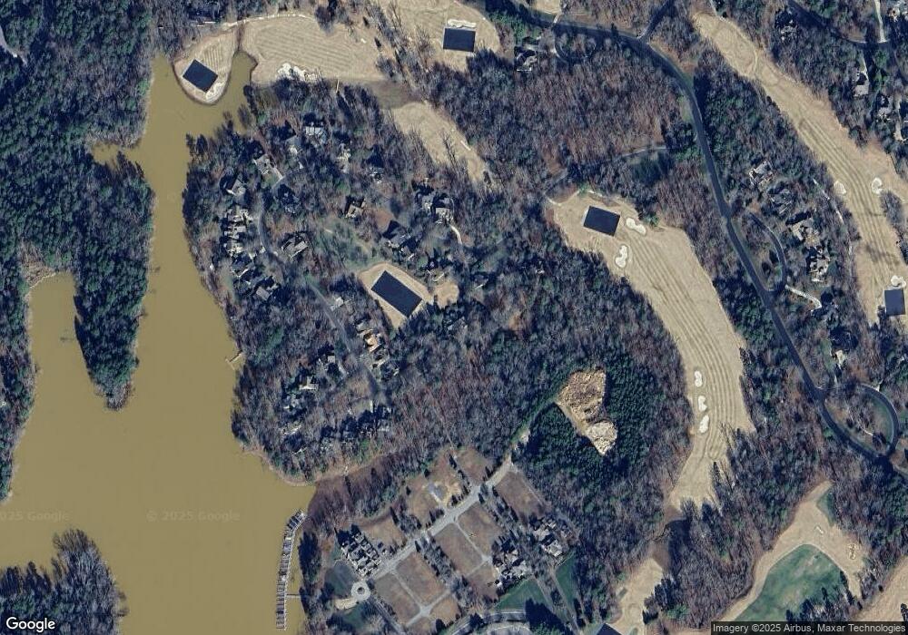
Map
Nearby Homes
- 115 Evergreen Ln
- 114 Candor Oaks
- 118 Candor Oaks
- 117 Whitley Mill Ln
- 117 Whitley Mill Rd
- 118 Gatlin Knoll
- 120 Swift Island Place
- 108 Canoe Landing
- 137 Heron Bay Dr
- 123 Coggins Mine None
- 441 Glenbrook Spring
- 144 Heron Bay Dr
- 144 Heron Bay Dr Unit 5
- 104 Old North State Ln
- 122 Patterson's Bridge
- 202 Pattersons Bridge
- 202 Patterson's Bridge None
- 441 Glenbrook Springs Spring
- 441 Glenbrook Springs None
- 197 Pearl Bay Dr
- 244 Millingport Ln
- 200 Millingport Ln Unit 64
- 200 Millingport Ln
- 231 Millingport Ln
- 235 Millingport
- 206 Millingport Ln
- 250 Millingport Ln
- 250 Millingport Ln Unit 69
- 227 Millingport Ln
- 241 Millingport Ln
- 245 Millingport Ln
- 462 Millingport Ln
- 268 #71 Millingport Ln Unit 71
- 249 Millingport Ln
- 219 Millingport Ln
- 264 Millingport Ln
- 268 Millingport Ln
- 452 Millingport Ln
- 215 Millingport Ln
- 276 Millingport Ln