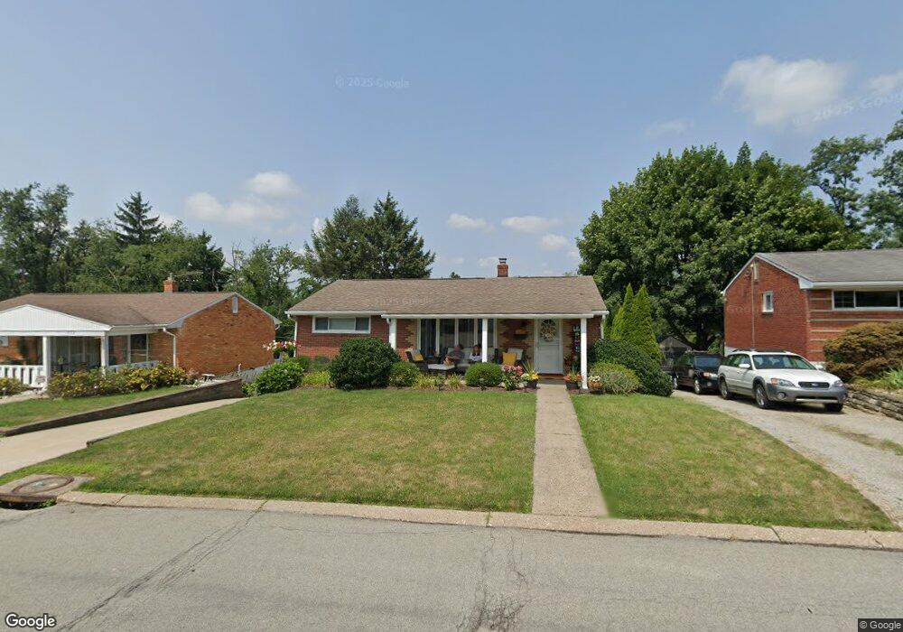
234 Millport Rd West Mifflin, PA 15122
Estimated Value: $159,000 - $212,000
2
Beds
1
Bath
925
Sq Ft
$190/Sq Ft
Est. Value
About This Home
This home is located at 234 Millport Rd, West Mifflin, PA 15122 and is currently estimated at $176,181, approximately $190 per square foot. 234 Millport Rd is a home located in Allegheny County with nearby schools including West Mifflin Area High School, Walnut Grove Christian School, and St Agnes School.
Ownership History
Date
Name
Owned For
Owner Type
Purchase Details
Closed on
May 16, 2006
Sold by
Bowermaster Eric V
Bought by
Upshaw William M
Current Estimated Value
Home Financials for this Owner
Home Financials are based on the most recent Mortgage that was taken out on this home.
Original Mortgage
$98,223
Outstanding Balance
$56,952
Interest Rate
6.42%
Mortgage Type
FHA
Estimated Equity
$119,229
Create a Home Valuation Report for This Property
The Home Valuation Report is an in-depth analysis detailing your home's value as well as a comparison with similar homes in the area
Home Values in the Area
Average Home Value in this Area
Purchase History
| Date | Buyer | Sale Price | Title Company |
|---|---|---|---|
| Upshaw William M | $99,000 | -- |
Source: Public Records
Mortgage History
| Date | Status | Borrower | Loan Amount |
|---|---|---|---|
| Open | Upshaw William M | $98,223 |
Source: Public Records
Tax History Compared to Growth
Tax History
| Year | Tax Paid | Tax Assessment Tax Assessment Total Assessment is a certain percentage of the fair market value that is determined by local assessors to be the total taxable value of land and additions on the property. | Land | Improvement |
|---|---|---|---|---|
| 2025 | $2,889 | $53,100 | $18,200 | $34,900 |
| 2024 | $2,889 | $53,100 | $18,200 | $34,900 |
| 2023 | $2,850 | $53,100 | $18,200 | $34,900 |
| 2022 | $2,765 | $53,100 | $18,200 | $34,900 |
| 2021 | $251 | $53,100 | $18,200 | $34,900 |
| 2020 | $2,660 | $53,100 | $18,200 | $34,900 |
| 2019 | $2,624 | $53,100 | $18,200 | $34,900 |
| 2018 | $251 | $53,100 | $18,200 | $34,900 |
| 2017 | $1,970 | $53,100 | $18,200 | $34,900 |
| 2016 | $251 | $53,100 | $18,200 | $34,900 |
| 2015 | $251 | $53,100 | $18,200 | $34,900 |
| 2014 | $1,953 | $53,100 | $18,200 | $34,900 |
Source: Public Records
Map
Nearby Homes
- 444 Spring Valley Rd
- 323 Livingston Rd
- 540 Lisa Dr
- 828 Alberta Dr
- 109 Pennington Dr
- 609 Shadyside Dr
- 3326 New England Rd
- 436 Lisa Dr
- 1746 Gina Dr
- 1016 Dana Dr
- 1717 Gina Dr
- 1157 Lebanon School Rd
- 0 Lebanon School Rd
- 0 Clairton Rd
- 446 Lewis Run Rd
- 4009 Fleetwood Dr
- 6847 Wilson St
- 1613 State Route 885
- 6710 Buchanan Ave
- 453 Coal Valley Rd
- 238 Millport Rd
- 230 Millport Rd
- 226 Millport Rd
- 233 Millport Rd
- 246 Millport Rd
- 440 Spring Valley Rd
- 237 Millport Rd
- 229 Millport Rd
- 218 Millport Rd
- 241 Millport Rd
- 436 Spring Valley Rd
- 462 Spring Valley Rd
- 250 Millport Rd
- 225 Millport Rd
- 432 Spring Valley Rd
- 458 Spring Valley Rd
- 247 Millport Rd
- 214 Millport Rd
- 221 Millport Rd
- 428 Spring Valley Rd