234 Mt Evans Dr Unit 70 Durham, NC 27705
West Durham NeighborhoodEstimated Value: $335,000 - $359,000
2
Beds
3
Baths
1,295
Sq Ft
$268/Sq Ft
Est. Value
About This Home
This home is located at 234 Mt Evans Dr Unit 70, Durham, NC 27705 and is currently estimated at $347,056, approximately $267 per square foot. 234 Mt Evans Dr Unit 70 is a home located in Durham County with nearby schools including Morehead Montessori, Brogden Middle, and Riverside High School.
Ownership History
Date
Name
Owned For
Owner Type
Purchase Details
Closed on
Mar 22, 2013
Sold by
Standard Pacific Of The Carolinas Llc
Bought by
Bernhardt George Lynn and Bernhardt Johanna Cheney
Current Estimated Value
Home Financials for this Owner
Home Financials are based on the most recent Mortgage that was taken out on this home.
Original Mortgage
$122,900
Outstanding Balance
$86,806
Interest Rate
3.56%
Mortgage Type
New Conventional
Estimated Equity
$260,250
Create a Home Valuation Report for This Property
The Home Valuation Report is an in-depth analysis detailing your home's value as well as a comparison with similar homes in the area
Home Values in the Area
Average Home Value in this Area
Purchase History
| Date | Buyer | Sale Price | Title Company |
|---|---|---|---|
| Bernhardt George Lynn | $154,000 | None Available |
Source: Public Records
Mortgage History
| Date | Status | Borrower | Loan Amount |
|---|---|---|---|
| Open | Bernhardt George Lynn | $122,900 |
Source: Public Records
Tax History Compared to Growth
Tax History
| Year | Tax Paid | Tax Assessment Tax Assessment Total Assessment is a certain percentage of the fair market value that is determined by local assessors to be the total taxable value of land and additions on the property. | Land | Improvement |
|---|---|---|---|---|
| 2025 | $3,371 | $340,043 | $95,000 | $245,043 |
| 2024 | $3,075 | $220,419 | $50,000 | $170,419 |
| 2023 | $2,887 | $220,419 | $50,000 | $170,419 |
| 2022 | $2,821 | $220,419 | $50,000 | $170,419 |
| 2021 | $2,808 | $220,419 | $50,000 | $170,419 |
| 2020 | $2,742 | $220,419 | $50,000 | $170,419 |
| 2019 | $2,742 | $220,419 | $50,000 | $170,419 |
| 2018 | $2,490 | $183,551 | $40,000 | $143,551 |
| 2017 | $2,472 | $183,551 | $40,000 | $143,551 |
| 2016 | $2,388 | $183,551 | $40,000 | $143,551 |
| 2015 | $1,987 | $143,560 | $31,000 | $112,560 |
| 2014 | $1,987 | $143,560 | $31,000 | $112,560 |
Source: Public Records
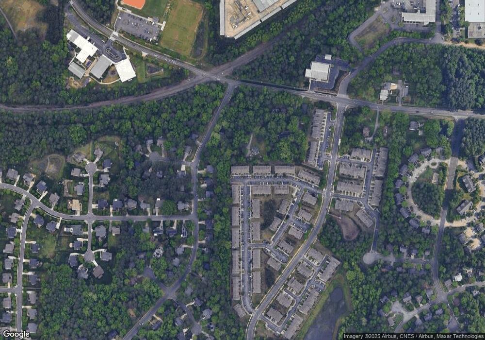
Map
Nearby Homes
- 108 Panamint Dr
- 28 Prestwick Place
- 4704 Cumberland Dr
- 37 Georgetown Ct
- 210 Silas St
- 13 Providence Ct
- 123 Forest Oaks Dr
- 74 Forest Oaks Dr
- 82 Forest Oaks Dr
- 4316 American Dr
- 1229 Opal Ln Unit 84
- 4219 Berini Dr
- 4002 Westfield Dr
- 416 Morreene Rd
- 4709 Stafford Dr
- 2100 Skipping Stone Dr
- 1100 Balsawood Dr
- 24 Sunrise Place
- Collins Plan at Stonewood Estates - Legacy
- Fisher Plan at Stonewood Estates - Landmark
- 236 Mount Evans Dr
- 232 Mount Evans Dr Unit 69
- 232 Mount Evans Dr
- 236 Mt Evans Dr Unit 71
- 236 Mt Evans Dr
- 232 Mt Evans Dr Unit 69
- 232 Mt Evans Dr
- 238 Mt Evans Dr Unit 72
- 230 Mt Evans Dr
- 240 Mount Evans Dr
- 240 Mt Evans Dr
- 242 Mount Evans Dr
- 242 Mt Evans Dr Unit 74
- 242 Mt Evans Dr
- 228 Mt Evans Dr Unit 67
- 228 Mt Evans Dr
- 228 Mount Evans Dr
- 226 Mt Evans Dr Unit 66
- 226 Mt Evans Dr
- 226 Mount Evans Dr