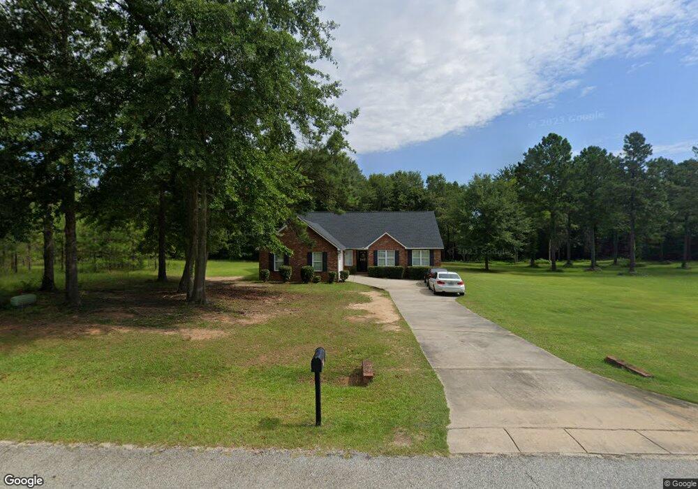
234 Natchez Trace Macon, GA 31216
Estimated Value: $223,000 - $258,000
4
Beds
2
Baths
1,559
Sq Ft
$156/Sq Ft
Est. Value
About This Home
This home is located at 234 Natchez Trace, Macon, GA 31216 and is currently estimated at $242,629, approximately $155 per square foot. 234 Natchez Trace is a home located in Bibb County with nearby schools including Heard Elementary School, Rutland Middle School, and Rutland High School.
Ownership History
Date
Name
Owned For
Owner Type
Purchase Details
Closed on
May 15, 2006
Sold by
Vantage Homes Inc
Bought by
Pennimon Corinthia Sabrina and Pennimon Rudolph
Current Estimated Value
Home Financials for this Owner
Home Financials are based on the most recent Mortgage that was taken out on this home.
Original Mortgage
$152,505
Outstanding Balance
$88,375
Interest Rate
6.41%
Mortgage Type
FHA
Estimated Equity
$154,254
Purchase Details
Closed on
Jun 14, 2005
Create a Home Valuation Report for This Property
The Home Valuation Report is an in-depth analysis detailing your home's value as well as a comparison with similar homes in the area
Home Values in the Area
Average Home Value in this Area
Purchase History
| Date | Buyer | Sale Price | Title Company |
|---|---|---|---|
| Pennimon Corinthia Sabrina | $153,711 | None Availabale | |
| -- | $83,700 | -- |
Source: Public Records
Mortgage History
| Date | Status | Borrower | Loan Amount |
|---|---|---|---|
| Open | Pennimon Corinthia Sabrina | $152,505 |
Source: Public Records
Tax History Compared to Growth
Tax History
| Year | Tax Paid | Tax Assessment Tax Assessment Total Assessment is a certain percentage of the fair market value that is determined by local assessors to be the total taxable value of land and additions on the property. | Land | Improvement |
|---|---|---|---|---|
| 2024 | $1,831 | $72,112 | $9,200 | $62,912 |
| 2023 | $2,014 | $67,980 | $6,900 | $61,080 |
| 2022 | $2,066 | $59,673 | $8,000 | $51,673 |
| 2021 | $1,907 | $50,182 | $8,000 | $42,182 |
| 2020 | $1,948 | $50,182 | $8,000 | $42,182 |
| 2019 | $1,964 | $50,182 | $8,000 | $42,182 |
| 2018 | $3,030 | $47,546 | $8,000 | $39,546 |
| 2017 | $1,781 | $47,546 | $8,000 | $39,546 |
| 2016 | $1,645 | $47,546 | $8,000 | $39,546 |
| 2015 | $2,312 | $47,216 | $8,000 | $39,216 |
| 2014 | $3,058 | $62,340 | $15,280 | $47,060 |
Source: Public Records
Map
Nearby Homes
- 312 Buckskin Dr
- 1850 Barnes Ferry Rd
- 120 Abberley Ln
- 326 Stockton Cir
- 117 Abberley Ln
- 301 Stockton Cir
- Plan 2700 at The Abberley
- Plan 2604 at The Abberley
- 7386 Hawkinsville Rd
- 317 Stockton Cir
- 7070 Sofkee Place
- 2165 Griffin Rd
- 2154 Allen Rd
- 8410 Hawkinsville Rd Unit LOT 42
- 4037 Liberty Estates Dr
- 4025 Liberty Estates Dr
- 2741 Liberty Church Rd
- 261 Amanda Dr
- 149 Lew Dr
- 344 Browning Pointe Rd
- 238 Natchez Trace
- 0 Natchez Trace Unit 8556943
- 0 Natchez Trace Unit 8580805
- 0 Natchez Trace Unit 3215373
- 114 Deer Forest Trail
- 110 Deer Forest Trail
- 115 Deer Forest Trail
- 240 Natchez Trace
- 304 Hawk Ct
- 108 Deer Forest Trail
- 421 Gray Wolf Dr
- 111 Deer Forest Trail
- 224 Natchez Trace
- 425 Gray Wolf Dr
- 0 Hawk Ct Unit 8288258
- 0 Hawk Ct Unit 8218406
- 0 Hawk Ct Unit 8205240
- 104 Deer Forest Trail
- 301 Osage Ct
- 109 Deer Forest Trail