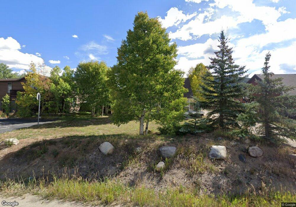
234 Summit Dr Dillon, CO 80435
Keystone NeighborhoodEstimated Value: $1,025,421 - $1,243,000
4
Beds
2
Baths
1,663
Sq Ft
$680/Sq Ft
Est. Value
About This Home
This home is located at 234 Summit Dr, Dillon, CO 80435 and is currently estimated at $1,130,605, approximately $679 per square foot. 234 Summit Dr is a home with nearby schools including Summit Cove Elementary School, Summit Middle School, and Summit High School.
Ownership History
Date
Name
Owned For
Owner Type
Purchase Details
Closed on
Oct 30, 2015
Sold by
Westwood Development Corporation
Bought by
Gilligan Family Limited Partnership
Current Estimated Value
Purchase Details
Closed on
Jan 30, 2015
Sold by
Malkewicz Stephen E and Malkewicz Janis E
Bought by
Westwood Development Corporation
Purchase Details
Closed on
Dec 29, 2012
Sold by
International Core Energy Incorporated
Bought by
The Janis Estelle Malkewicz Living Trust
Purchase Details
Closed on
Aug 3, 2009
Sold by
Gilligan Kevin and Gilligan Kevin P
Bought by
International Core Energy Incorporated
Purchase Details
Closed on
Oct 11, 2005
Sold by
Gilligan Susan
Bought by
Gilligan Kevin P and Malkewicz Janis
Purchase Details
Closed on
Jul 30, 2005
Sold by
Malkewicz Stephen
Bought by
Giligan Kevin
Create a Home Valuation Report for This Property
The Home Valuation Report is an in-depth analysis detailing your home's value as well as a comparison with similar homes in the area
Home Values in the Area
Average Home Value in this Area
Purchase History
| Date | Buyer | Sale Price | Title Company |
|---|---|---|---|
| Gilligan Family Limited Partnership | -- | None Available | |
| Westwood Development Corporation | -- | None Available | |
| The Janis Estelle Malkewicz Living Trust | -- | None Available | |
| International Core Energy Incorporated | $414,000 | Land Title Guarantee Company | |
| Gilligan Kevin P | -- | None Available | |
| Giligan Kevin | -- | None Available |
Source: Public Records
Tax History
| Year | Tax Paid | Tax Assessment Tax Assessment Total Assessment is a certain percentage of the fair market value that is determined by local assessors to be the total taxable value of land and additions on the property. | Land | Improvement |
|---|---|---|---|---|
| 2024 | $3,766 | $71,247 | -- | -- |
| 2023 | $3,766 | $67,563 | $0 | $0 |
| 2022 | $2,870 | $48,122 | $0 | $0 |
| 2021 | $2,895 | $49,507 | $0 | $0 |
| 2020 | $2,325 | $42,137 | $0 | $0 |
| 2019 | $2,295 | $42,137 | $0 | $0 |
| 2018 | $1,973 | $34,863 | $0 | $0 |
| 2017 | $1,815 | $34,863 | $0 | $0 |
| 2016 | $1,880 | $35,518 | $0 | $0 |
| 2015 | $1,825 | $35,518 | $0 | $0 |
| 2014 | $1,553 | $29,683 | $0 | $0 |
| 2013 | -- | $29,683 | $0 | $0 |
Source: Public Records
Map
Nearby Homes
- 58 Summit Dr Unit D9
- 80 Cove Blvd Unit 103
- 36 Cove Blvd Unit G1
- 66 Glen Cove Dr Unit 66
- 14 Crystal Unit C14
- 37 Tally Ho Ct Unit 110
- 101 Mule Deer Ct
- 105 River Course Dr Unit 9571
- 22 Sage View Ct Unit 1
- 22 Sage View Ct
- 442 Idlewild Dr
- 591 Elk Cir
- 281 Elk Cir Unit 23
- 281 Elk Cir
- 653 Vail Cir
- 54 Hideaway Ct
- 28 Maroon Peak Cir
- 357 Vail Cir
- 105 Red Cloud Peak Dr
- 862 Penstemon Rd
Your Personal Tour Guide
Ask me questions while you tour the home.