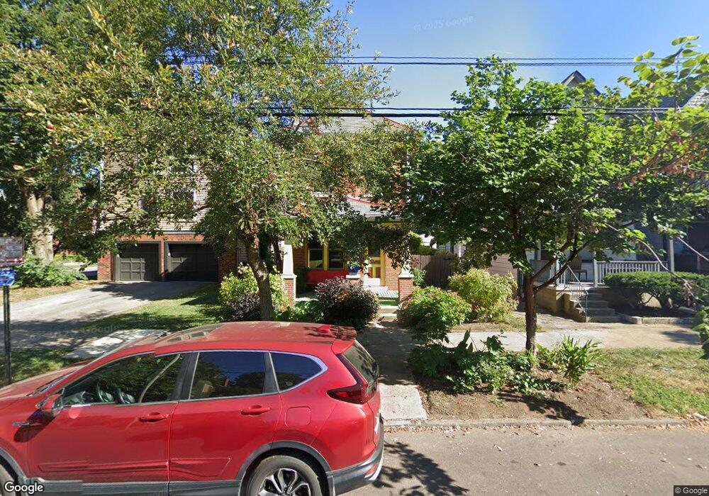
234 W 1st Ave Columbus, OH 43201
Victorian Village NeighborhoodEstimated Value: $415,413 - $522,000
2
Beds
2
Baths
1,328
Sq Ft
$353/Sq Ft
Est. Value
About This Home
This home is located at 234 W 1st Ave, Columbus, OH 43201 and is currently estimated at $468,603, approximately $352 per square foot. 234 W 1st Ave is a home located in Franklin County with nearby schools including Hubbard Elementary School, Dominion Middle School, and Whetstone High School.
Ownership History
Date
Name
Owned For
Owner Type
Purchase Details
Closed on
Sep 12, 1995
Sold by
Barone Anthony R
Bought by
Karl W Koon
Current Estimated Value
Home Financials for this Owner
Home Financials are based on the most recent Mortgage that was taken out on this home.
Original Mortgage
$124,450
Interest Rate
7.76%
Mortgage Type
New Conventional
Purchase Details
Closed on
Dec 30, 1992
Purchase Details
Closed on
Aug 1, 1985
Create a Home Valuation Report for This Property
The Home Valuation Report is an in-depth analysis detailing your home's value as well as a comparison with similar homes in the area
Home Values in the Area
Average Home Value in this Area
Purchase History
| Date | Buyer | Sale Price | Title Company |
|---|---|---|---|
| Karl W Koon | $131,000 | -- | |
| -- | $75,000 | -- | |
| -- | $46,000 | -- |
Source: Public Records
Mortgage History
| Date | Status | Borrower | Loan Amount |
|---|---|---|---|
| Closed | Karl W Koon | $124,450 |
Source: Public Records
Tax History Compared to Growth
Tax History
| Year | Tax Paid | Tax Assessment Tax Assessment Total Assessment is a certain percentage of the fair market value that is determined by local assessors to be the total taxable value of land and additions on the property. | Land | Improvement |
|---|---|---|---|---|
| 2024 | $5,762 | $128,380 | $57,750 | $70,630 |
| 2023 | $5,688 | $128,380 | $57,750 | $70,630 |
| 2022 | $6,368 | $122,790 | $26,220 | $96,570 |
| 2021 | $6,380 | $122,790 | $26,220 | $96,570 |
| 2020 | $6,388 | $122,790 | $26,220 | $96,570 |
| 2019 | $6,151 | $101,400 | $21,840 | $79,560 |
| 2018 | $5,727 | $101,400 | $21,840 | $79,560 |
| 2017 | $6,002 | $101,400 | $21,840 | $79,560 |
| 2016 | $5,857 | $88,410 | $19,250 | $69,160 |
| 2015 | $5,316 | $88,410 | $19,250 | $69,160 |
| 2014 | $5,329 | $88,410 | $19,250 | $69,160 |
| 2013 | $2,389 | $80,360 | $17,500 | $62,860 |
Source: Public Records
Map
Nearby Homes
- 884 Neil Ave
- 313 W 1st Ave
- 986 Highland St
- 969 Hunter Ave
- 938 Hunter Ave
- 1016 Neil Ave
- 1018 Neil Ave
- 915 Dennison Ave Unit 915
- 319 W 2nd Ave Unit 319
- 867-871 Delaware Ave
- 994 Harrison Ave
- 1042 Neil Ave
- 1025 Hunter Ave
- 998 Ewing Alley Unit 998
- 162 E 2nd Ave
- 1001 Dennison Ave
- 312 Buttles Ave Unit 314
- 337 Tappan St
- 1003 Pennsylvania Ave Unit 5
- 83 W 1st Ave
- 934 Highland St
- 934 Highland St
- 934 Highland St Unit 38
- 230 W 1st Ave
- 936 Highland St
- 932 Highland St
- 948 Highland St
- 950 Highland St
- 929 Hunter Ave Unit 931
- 921 Hunter Ave Unit 923
- 919 Hunter Ave
- 933 Hunter Ave
- 941 Hunter Ave Unit 943
- 952 Highland St
- 945 Highland St
- 937 Highland St
- 933 Highland St
- 943 Highland St Unit 945
- 943 Highland St
- 943-945 Highland St