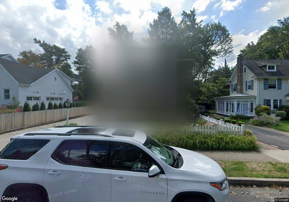
234 W Summit Ave Haddonfield, NJ 08033
Estimated Value: $1,049,365 - $1,294,000
Studio
--
Bath
2,363
Sq Ft
$499/Sq Ft
Est. Value
About This Home
This home is located at 234 W Summit Ave, Haddonfield, NJ 08033 and is currently estimated at $1,178,788, approximately $498 per square foot. 234 W Summit Ave is a home located in Camden County with nearby schools including Haddonfield Memorial High School and Haddonfield Friends School.
Ownership History
Date
Name
Owned For
Owner Type
Purchase Details
Closed on
Mar 24, 2020
Sold by
Ignarri Mindy E and Ignarri Robert
Bought by
Lake Michael and Lake Amy
Current Estimated Value
Home Financials for this Owner
Home Financials are based on the most recent Mortgage that was taken out on this home.
Original Mortgage
$679,250
Outstanding Balance
$598,097
Interest Rate
3.2%
Mortgage Type
New Conventional
Estimated Equity
$580,691
Create a Home Valuation Report for This Property
The Home Valuation Report is an in-depth analysis detailing your home's value as well as a comparison with similar homes in the area
Home Values in the Area
Average Home Value in this Area
Purchase History
| Date | Buyer | Sale Price | Title Company |
|---|---|---|---|
| Lake Michael | $715,000 | Surety Title Company |
Source: Public Records
Mortgage History
| Date | Status | Borrower | Loan Amount |
|---|---|---|---|
| Open | Lake Michael | $679,250 |
Source: Public Records
Tax History
| Year | Tax Paid | Tax Assessment Tax Assessment Total Assessment is a certain percentage of the fair market value that is determined by local assessors to be the total taxable value of land and additions on the property. | Land | Improvement |
|---|---|---|---|---|
| 2025 | $18,876 | $569,400 | $288,400 | $281,000 |
| 2024 | $18,152 | $569,400 | $288,400 | $281,000 |
| 2023 | $18,152 | $569,400 | $288,400 | $281,000 |
| 2022 | $18,010 | $569,400 | $288,400 | $281,000 |
| 2021 | $17,919 | $569,400 | $288,400 | $281,000 |
| 2020 | $17,794 | $569,400 | $288,400 | $281,000 |
| 2019 | $177 | $569,400 | $288,400 | $281,000 |
| 2018 | $17,441 | $569,400 | $288,400 | $281,000 |
| 2017 | $17,025 | $569,400 | $288,400 | $281,000 |
| 2016 | $16,644 | $569,400 | $288,400 | $281,000 |
| 2015 | $16,182 | $569,400 | $288,400 | $281,000 |
| 2014 | $15,824 | $569,400 | $288,400 | $281,000 |
Source: Public Records
Map
Nearby Homes
- 127 W Cottage Ave
- 125 W Cottage Ave
- 370 Station Ave
- 139 Treaty Elm Ln
- 104 Treaty Elm Ln
- 344 Knolltop Ln
- 109 S Atlantic Ave
- 108 Avondale Ave
- 33 Estaugh Ave
- 121 Reillywood Ave
- 35 Estaugh Ave
- 110 Avondale Ave
- 109 W Euclid Ave
- 107 Centre St
- 13 Wilkins Ave
- 13 W Euclid Ave
- 204 W Redman Ave
- 425 Peltoma Rd
- 38 Birchall Dr
- 741 W Redman Ave
- 236 W Summit Ave
- 230 W Summit Ave
- 238 W Summit Ave
- 219 Mountwell Ave
- 229 Mountwell Ave
- 215 Mountwell Ave
- 241 W Summit Ave
- 223 W Summit Ave
- 233 Mountwell Ave
- 242 W Summit Ave
- 310 Warwick Rd
- 243 W Summit Ave
- 308 Warwick Rd
- 237 Mountwell Ave
- 245 W Summit Ave
- 326 Warwick Rd
- 228 Warwick Rd
- 332 Warwick Rd
- 218 Warwick Rd
- 241 Mountwell Ave
Your Personal Tour Guide
Ask me questions while you tour the home.