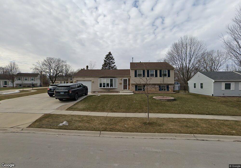
234 Wickham Dr Unit 7 Schaumburg, IL 60194
Hoover Park NeighborhoodEstimated Value: $324,000 - $411,010
3
Beds
2
Baths
1,126
Sq Ft
$334/Sq Ft
Est. Value
About This Home
This home is located at 234 Wickham Dr Unit 7, Schaumburg, IL 60194 and is currently estimated at $376,253, approximately $334 per square foot. 234 Wickham Dr Unit 7 is a home located in Cook County with nearby schools including Hoover Math And Science Academy, Helen Keller Junior High School, and Schaumburg High School.
Ownership History
Date
Name
Owned For
Owner Type
Purchase Details
Closed on
Mar 13, 2024
Sold by
Tyler William Albert and Tyler Catherine Claire
Bought by
Tyler Family Trust and Tyler
Current Estimated Value
Purchase Details
Closed on
Feb 26, 1996
Sold by
Schrems Nancy J
Bought by
Tyler William A and Tyler Catherine C
Home Financials for this Owner
Home Financials are based on the most recent Mortgage that was taken out on this home.
Original Mortgage
$133,650
Interest Rate
7.44%
Create a Home Valuation Report for This Property
The Home Valuation Report is an in-depth analysis detailing your home's value as well as a comparison with similar homes in the area
Home Values in the Area
Average Home Value in this Area
Purchase History
| Date | Buyer | Sale Price | Title Company |
|---|---|---|---|
| Tyler Family Trust | -- | Old Republic National Title | |
| Tyler William A | $148,500 | Attorneys Natl Title Network |
Source: Public Records
Mortgage History
| Date | Status | Borrower | Loan Amount |
|---|---|---|---|
| Previous Owner | Tyler William A | $133,650 |
Source: Public Records
Tax History
| Year | Tax Paid | Tax Assessment Tax Assessment Total Assessment is a certain percentage of the fair market value that is determined by local assessors to be the total taxable value of land and additions on the property. | Land | Improvement |
|---|---|---|---|---|
| 2025 | $7,755 | $37,000 | $9,265 | $27,735 |
| 2024 | $7,755 | $31,000 | $7,630 | $23,370 |
| 2023 | $7,492 | $31,000 | $7,630 | $23,370 |
| 2022 | $7,492 | $31,000 | $7,630 | $23,370 |
| 2021 | $6,364 | $24,328 | $5,177 | $19,151 |
| 2020 | $6,323 | $24,328 | $5,177 | $19,151 |
| 2019 | $6,408 | $27,335 | $5,177 | $22,158 |
| 2018 | $6,305 | $24,443 | $4,632 | $19,811 |
| 2017 | $6,223 | $24,443 | $4,632 | $19,811 |
| 2016 | $6,062 | $24,443 | $4,632 | $19,811 |
| 2015 | $5,605 | $21,358 | $4,087 | $17,271 |
| 2014 | $5,560 | $21,358 | $4,087 | $17,271 |
| 2013 | $5,400 | $21,358 | $4,087 | $17,271 |
Source: Public Records
Map
Nearby Homes
- 426 Argyll Ln
- 204 Nauset Ln Unit 1322
- 202 Nauset Ln Unit 1321
- 120 Ellington Dr
- 1231 Tyburn Dr
- 203 Barcliffe Ln Unit 1063
- 658 Claridge Cir Unit 99
- 106 N Salem Dr Unit 894
- 1426 Tonset Ln Unit 42
- 712 Scarbrough Cir Unit 126
- 107 Tonset Ct Unit 281
- 105 Aspen Dr
- 1305 Wakeby Ln Unit 482
- 116 Cotuit Ct Unit 1312
- 129 Millbrook Ln Unit 231
- 127 Millbrook Ln Unit 232
- 1300 Chatsworth Ln
- 1801 Epping Place
- 395 Washington Blvd
- 775 Harmon Blvd
- 306 Wickham Dr Unit 610
- 232 Wickham Dr
- 301 Wickham Dr
- 228 Wickham Dr
- 233 Wickham Dr
- 307 Wickham Dr
- 224 Wickham Dr
- 229 Wickham Dr
- 312 Wickham Dr
- 311 Wickham Dr
- 220 Wickham Dr
- 300 Wianno Ln
- 232 Wianno Ln
- 318 Wickham Dr
- 315 Wickham Dr
- 304 Wianno Ln
- 228 Wianno Ln
- 221 Wickham Dr Unit 7
- 224 Wianno Ln
- 321 Wickham Dr
Your Personal Tour Guide
Ask me questions while you tour the home.