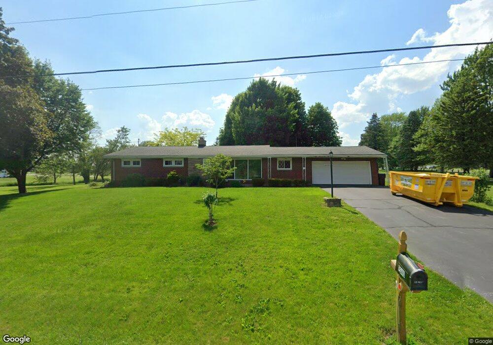
2340 Port Clinton Rd Fremont, OH 43420
Estimated Value: $214,000 - $293,000
3
Beds
2
Baths
1,822
Sq Ft
$135/Sq Ft
Est. Value
About This Home
This home is located at 2340 Port Clinton Rd, Fremont, OH 43420 and is currently estimated at $245,494, approximately $134 per square foot. 2340 Port Clinton Rd is a home located in Sandusky County with nearby schools including Fremont Ross High School, St. Ann Catholic School, and Bishop Hoffman Catholic School - This is St Joe's School now.
Ownership History
Date
Name
Owned For
Owner Type
Purchase Details
Closed on
Jun 21, 2007
Sold by
Shetzer Anna E
Bought by
May Dean C and May Ruth E
Current Estimated Value
Home Financials for this Owner
Home Financials are based on the most recent Mortgage that was taken out on this home.
Original Mortgage
$105,440
Outstanding Balance
$64,553
Interest Rate
6.2%
Mortgage Type
Purchase Money Mortgage
Estimated Equity
$180,941
Purchase Details
Closed on
Nov 1, 1992
Bought by
May Dean C and May Ruth E
Create a Home Valuation Report for This Property
The Home Valuation Report is an in-depth analysis detailing your home's value as well as a comparison with similar homes in the area
Home Values in the Area
Average Home Value in this Area
Purchase History
| Date | Buyer | Sale Price | Title Company |
|---|---|---|---|
| May Dean C | $98,850 | First American Title | |
| May Dean C | -- | -- |
Source: Public Records
Mortgage History
| Date | Status | Borrower | Loan Amount |
|---|---|---|---|
| Open | May Dean C | $105,440 |
Source: Public Records
Tax History Compared to Growth
Tax History
| Year | Tax Paid | Tax Assessment Tax Assessment Total Assessment is a certain percentage of the fair market value that is determined by local assessors to be the total taxable value of land and additions on the property. | Land | Improvement |
|---|---|---|---|---|
| 2024 | $2,767 | $73,470 | $16,420 | $57,050 |
| 2023 | $2,767 | $58,770 | $13,130 | $45,640 |
| 2022 | $2,353 | $58,770 | $13,130 | $45,640 |
| 2021 | $2,427 | $58,770 | $13,130 | $45,640 |
| 2020 | $2,167 | $51,600 | $13,130 | $38,470 |
| 2019 | $2,164 | $51,600 | $13,130 | $38,470 |
| 2018 | $2,098 | $51,600 | $13,130 | $38,470 |
| 2017 | $2,028 | $48,100 | $13,130 | $34,970 |
| 2016 | $1,787 | $48,100 | $13,130 | $34,970 |
| 2015 | $1,758 | $48,100 | $13,130 | $34,970 |
| 2014 | $1,704 | $44,420 | $10,680 | $33,740 |
| 2013 | $1,668 | $44,420 | $10,680 | $33,740 |
Source: Public Records
Map
Nearby Homes
- 0 Sean Dr
- Outlot A Sean Dr
- 1730 Port Clinton Rd Unit 41
- 1730 Port Clinton Rd
- 1730 Port Clinton Rd Unit 33
- 711 Bloom Rd
- 2100 Ohio 53
- 2219 Oak Harbor Rd
- 1441 White Ave
- 900 Spring St
- 1227 White Ave
- 711 Rawson Ave
- 612 2nd St
- 533 Sandusky Ave Unit 535
- 1720 North St
- 1707 North St
- 433 Sandusky Ave
- 818 Franklin Ave
- 516 N Front St
- 340 340 Sandusky Ave
- 2400 Port Clinton Rd
- 2424 Port Clinton Rd
- 2325 Glenn Dr
- 2325 Glenn Dr
- 2332 Glenn Dr
- 2430 Port Clinton Rd
- 2317 Glenn Dr
- 2316 Port Clinton Rd
- 2316 Port Clinton Rd
- 2318 Glenn Dr
- 2436 Port Clinton Rd
- 2309 Glenn Dr
- 2306 Port Clinton Rd
- 2440 Port Clinton Rd
- 2310 Glenn Dr
- 2301 Glenn Dr
- 2252 Port Clinton Rd
- 2302 Glenn Dr
- 2506 Port Clinton Rd
- 2242 Port Clinton Rd