2340 Quality Ln West Middlesex, PA 16159
Estimated Value: $942,571
Studio
--
Bath
--
Sq Ft
14.76
Acres
About This Home
This home is located at 2340 Quality Ln, West Middlesex, PA 16159 and is currently priced at $942,571. 2340 Quality Ln is a home with nearby schools including Ionta Elementary School, Artman Elementary School, and Delahunty Middle School.
Ownership History
Date
Name
Owned For
Owner Type
Purchase Details
Closed on
May 1, 2008
Sold by
Economic Progress Alliance Of Crawford C
Bought by
Genesis Ii Development Llc
Current Estimated Value
Home Financials for this Owner
Home Financials are based on the most recent Mortgage that was taken out on this home.
Original Mortgage
$1,333,544
Outstanding Balance
$849,373
Interest Rate
5.99%
Mortgage Type
Credit Line Revolving
Create a Home Valuation Report for This Property
The Home Valuation Report is an in-depth analysis detailing your home's value as well as a comparison with similar homes in the area
Home Values in the Area
Average Home Value in this Area
Purchase History
| Date | Buyer | Sale Price | Title Company |
|---|---|---|---|
| Genesis Ii Development Llc | -- | None Available | |
| Economic Progress Alliance Of Crawford C | -- | None Available |
Source: Public Records
Mortgage History
| Date | Status | Borrower | Loan Amount |
|---|---|---|---|
| Open | Economic Progress Alliance Of Crawford C | $1,333,544 |
Source: Public Records
Tax History
| Year | Tax Paid | Tax Assessment Tax Assessment Total Assessment is a certain percentage of the fair market value that is determined by local assessors to be the total taxable value of land and additions on the property. | Land | Improvement |
|---|---|---|---|---|
| 2025 | $153,463 | $1,609,350 | $88,550 | $1,520,800 |
| 2024 | $153,463 | $1,609,350 | $88,550 | $1,520,800 |
| 2023 | $153,463 | $1,609,350 | $88,550 | $1,520,800 |
| 2022 | $104,529 | $1,129,350 | $88,550 | $1,040,800 |
| 2021 | $104,529 | $1,129,350 | $88,550 | $1,040,800 |
| 2020 | $104,529 | $1,129,350 | $88,550 | $1,040,800 |
| 2019 | $104,529 | $1,129,350 | $88,550 | $1,040,800 |
| 2018 | $102,428 | $1,129,350 | $88,550 | $1,040,800 |
| 2017 | $102,992 | $1,129,350 | $88,550 | $1,040,800 |
| 2016 | -- | $1,129,350 | $88,550 | $1,040,800 |
| 2015 | -- | $1,129,350 | $88,550 | $1,040,800 |
| 2014 | -- | $1,129,350 | $88,550 | $1,040,800 |
Source: Public Records
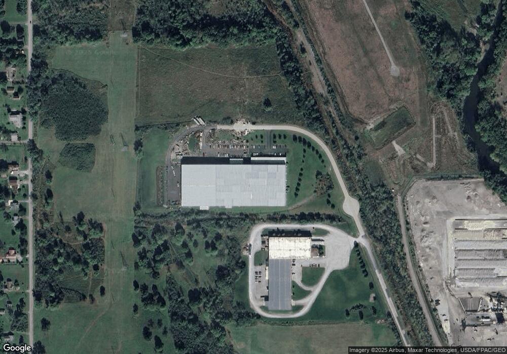
Map
Nearby Homes
- 104 Fruit Ave
- 506 Spearman Ave
- 522 Wallis Ave
- 310 Hamilton Ave
- 223 Emerson Ave
- 306 Federal St
- 504 Emerson Ave
- 411 Emerson Ave
- 715 Hamilton Ave
- 1002 Webster St
- 917 S Irvine Ave
- 7822 2nd St
- 7931 Service St
- 1118 Wallis Ave
- 1228 Washington St
- 1017 Broadway St
- 780 S Irvine Ave
- 766 S Irvine Ave
- 7647 Connelly Rd
- 1097 Cedar Ave
- 1512 State Line
- 1560 S Stateline Rd
- 1512 S Stateline Rd
- 1532 S Stateline Rd
- 1524 State Line
- 1560 State Line Rd
- 1580 S Stateline Rd
- 1580 State Line Rd
- 1592 S Stateline Rd
- 1628 S Stateline Rd
- 1666 State Line Rd
- 1666 S Stateline Rd
- 738 State Line
- 250 Martin Luther King jr Blvd
- 8227 Chestnut Ridge Rd
- 101 Broadway Ave
- 207 Martin Luther King jr Blvd
- 207 Martin Luther King Junior Blvd
- 8191 Chestnut Ridge Rd
- 111 Highland St
Your Personal Tour Guide
Ask me questions while you tour the home.