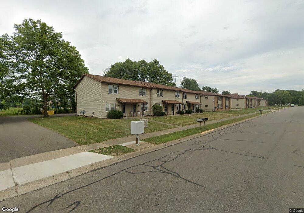
2341 Ansley St Unit 2341B Alliance, OH 44601
Estimated Value: $121,000 - $154,000
2
Beds
2
Baths
1,024
Sq Ft
$131/Sq Ft
Est. Value
About This Home
This home is located at 2341 Ansley St Unit 2341B, Alliance, OH 44601 and is currently estimated at $133,921, approximately $130 per square foot. 2341 Ansley St Unit 2341B is a home located in Stark County with nearby schools including Marlington High School and Regina Coeli/St Joseph School.
Ownership History
Date
Name
Owned For
Owner Type
Purchase Details
Closed on
Feb 10, 2004
Sold by
Ramsier Robert L and Ramsier Molly E
Bought by
Ramsier Robert L and Ramsier Molly E
Current Estimated Value
Purchase Details
Closed on
Oct 31, 1994
Sold by
Citizens Federal Bank
Bought by
Ramsier Robert L and Ramsier Molly E
Create a Home Valuation Report for This Property
The Home Valuation Report is an in-depth analysis detailing your home's value as well as a comparison with similar homes in the area
Home Values in the Area
Average Home Value in this Area
Purchase History
| Date | Buyer | Sale Price | Title Company |
|---|---|---|---|
| Ramsier Robert L | -- | -- | |
| Ramsier Robert L | $318,000 | -- |
Source: Public Records
Mortgage History
| Date | Status | Borrower | Loan Amount |
|---|---|---|---|
| Closed | Ramsier Robert L | $0 |
Source: Public Records
Tax History Compared to Growth
Tax History
| Year | Tax Paid | Tax Assessment Tax Assessment Total Assessment is a certain percentage of the fair market value that is determined by local assessors to be the total taxable value of land and additions on the property. | Land | Improvement |
|---|---|---|---|---|
| 2025 | -- | $26,290 | $3,780 | $22,510 |
| 2024 | -- | $26,290 | $3,780 | $22,510 |
| 2023 | $631 | $19,880 | $3,220 | $16,660 |
| 2022 | $633 | $19,880 | $3,220 | $16,660 |
| 2021 | $635 | $19,880 | $3,220 | $16,660 |
| 2020 | $619 | $17,300 | $2,770 | $14,530 |
| 2019 | $614 | $17,300 | $2,770 | $14,530 |
| 2018 | $614 | $17,300 | $2,770 | $14,530 |
| 2017 | $521 | $14,740 | $2,770 | $11,970 |
| 2016 | $471 | $13,310 | $2,770 | $10,540 |
| 2015 | $472 | $13,310 | $2,770 | $10,540 |
| 2014 | $516 | $13,340 | $3,150 | $10,190 |
| 2013 | $258 | $13,340 | $3,150 | $10,190 |
Source: Public Records
Map
Nearby Homes
- 2851 Patriots Path Unit 3D
- 0 Easton St NE
- 0 Valewood Cir Unit 5006281
- 1870 Northview Ave
- 0 Winchester St
- 0 Winchester St Unit 5162877
- 2195 Blenheim Ave
- 1201 Overlook Dr
- 3030 Center Ave
- 1059 Oakwood Dr
- 0 W Main St Unit 5090123
- 1042 Hartshorn St
- 1030 Sunset Dr
- 856 Birchwood Dr
- 1039 Glamorgan St
- 970 Kingsway St
- 2245 Ridgewood Ave
- 1136 Parkway Blvd
- 1050 Parkway Blvd
- 549 Linwood Dr
- 2341 Ansley St Unit 2341F
- 2341 Ansley St Unit 2341E
- 2341 Ansley St Unit 2341D
- 2341 Ansley St Unit 2341C
- 2341 Ansley St Unit 2341A
- 2332 Ansley St
- 2357 Ansley St Unit 2357F
- 2357 Ansley St Unit 2357E
- 2357 Ansley St Unit 2357D
- 2357 Ansley St Unit 2357C
- 2357 Ansley St Unit 2357B
- 2357 Ansley St Unit 2357A
- 2357 Ansley St
- 2373 Ansley St
- 2375 Ansley St
- 2382 Ansley St
- 2388 Ansley St
- 2307 Ansley St
- 2310 Ansley St
- 2340 W State St