Estimated Value: $121,000 - $191,000
Studio
1
Bath
1,728
Sq Ft
$84/Sq Ft
Est. Value
About This Home
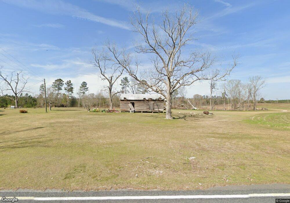
This home is located at 2341 Meeks Rd, Kite, GA 31049 and is currently estimated at $145,692, approximately $84 per square foot. 2341 Meeks Rd is a home with nearby schools including Johnson County Elementary School, Johnson County Middle School, and Johnson County High School.
Ownership History
Date
Name
Owned For
Owner Type
Purchase Details
Closed on
Jun 6, 2016
Sold by
Hutcheson Mark A
Bought by
Peavy Laurie A
Current Estimated Value
Purchase Details
Closed on
Oct 1, 2014
Sold by
Bell Thomas W
Bought by
Nix Doyle T and O Joel Hutcheson C
Purchase Details
Closed on
Jul 23, 2010
Sold by
Hutcheson Charles
Bought by
Hutcheson Joel L
Purchase Details
Closed on
Jul 12, 2010
Sold by
Brantley Margaret H
Bought by
Hutcheson Joel L
Purchase Details
Closed on
May 27, 1999
Sold by
Hutcheson Laura Y Life Estate
Bought by
Brantley Omea Hutcheson
Purchase Details
Closed on
May 7, 1993
Sold by
Brooks Hutcheson Estate
Bought by
Hutcheson Laura Y
Create a Home Valuation Report for This Property
The Home Valuation Report is an in-depth analysis detailing your home's value as well as a comparison with similar homes in the area
Purchase History
| Date | Buyer | Sale Price | Title Company |
|---|---|---|---|
| Peavy Laurie A | -- | -- | |
| Nix Doyle T | $143,000 | -- | |
| Hutcheson Joel L | -- | -- | |
| Hutcheson Joel L | $40,000 | -- | |
| Brantley Omea Hutcheson | -- | -- | |
| Hutcheson Laura Y | -- | -- |
Source: Public Records
Tax History
| Year | Tax Paid | Tax Assessment Tax Assessment Total Assessment is a certain percentage of the fair market value that is determined by local assessors to be the total taxable value of land and additions on the property. | Land | Improvement |
|---|---|---|---|---|
| 2025 | $1,085 | $45,536 | $3,452 | $42,084 |
| 2024 | $1,184 | $38,037 | $1,866 | $36,171 |
| 2023 | $1,184 | $38,038 | $1,866 | $36,171 |
| 2022 | $1,089 | $38,037 | $1,866 | $36,171 |
| 2021 | $917 | $31,257 | $1,866 | $29,391 |
| 2020 | $955 | $31,257 | $1,866 | $29,391 |
| 2019 | $972 | $31,257 | $1,866 | $29,391 |
| 2018 | $933 | $31,800 | $1,866 | $29,934 |
| 2017 | $970 | $31,800 | $1,866 | $29,934 |
| 2016 | $933 | $31,800 | $1,866 | $29,934 |
| 2015 | -- | $34,860 | $1,866 | $32,994 |
| 2014 | -- | $34,860 | $1,866 | $32,994 |
| 2013 | -- | $34,860 | $1,866 | $32,994 |
Source: Public Records
Map
Nearby Homes
- 181 Faith Tabernacle Rd
- 0 Sardis Church Rd Unit 10688482
- 600 Alton Lawson Rd
- 87 Georgia Ave
- 114 Ohoopee Rd
- 241 Foskey Cemetery Rd
- 35 Barwick Kea Rd
- 250 Archers Pond Smith Rd
- 151 Brantley Midas Rd
- 84 J D Garnto Rd
- 55 Hatcher St
- 380 Jonah Hall Rd
- 2195 Montgomery St
- 140 Keas Church Cir
- 1952 Jump N Run Rd
- 2128 Bay Springs Rd
- 0 Liberty Grove Church Rd Unit 10640718
- Pendleton Rreek Rd
- 442 Fox Run Rd
- 2618 Georgia 86
- 2291 Meeks Rd
- 2578 Meeks Rd
- 663 John Powell Rd
- 2657 Meeks Rd
- 121 Birch Ln
- 90 Faith Tabernacle Rd
- 76 Faith Tabernacle Rd
- 60 Faith Tabernacle Rd
- 159 Faith Tabernacle Rd
- 2722 Meeks Rd
- 73 Faith Tabernacle Rd
- 4 Trinity Church Rd
- 317 Faith Tabernacle Rd
- 2767 Meeks Rd
- 2764 Meeks Rd
- 11 Faith Tabernacle Rd
- 280 Meeks Rd
- 1989 Meeks Rd
- 1907 Meeks Rd
- 492 Faith Tabernacle Rd
Your Personal Tour Guide
Ask me questions while you tour the home.