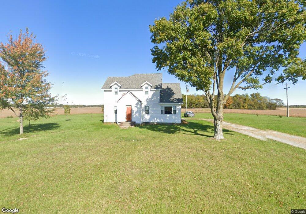
23441 Middle Pike Wapakoneta, OH 45895
Estimated Value: $142,000 - $242,000
3
Beds
1
Bath
2,482
Sq Ft
$84/Sq Ft
Est. Value
About This Home
This home is located at 23441 Middle Pike, Wapakoneta, OH 45895 and is currently estimated at $207,424, approximately $83 per square foot. 23441 Middle Pike is a home located in Auglaize County with nearby schools including Waynesfield-Goshen Local Elementary School and Waynesfield-Goshen Local High School.
Ownership History
Date
Name
Owned For
Owner Type
Purchase Details
Closed on
Nov 3, 2022
Sold by
Little Ronelva E
Bought by
Little Family Farms Llc
Current Estimated Value
Purchase Details
Closed on
Sep 26, 2008
Sold by
Oglesbee James Hugh
Bought by
Little Robert E and Little Kenneth Wilbur
Purchase Details
Closed on
Jan 21, 1992
Sold by
Coverstone Robert A
Bought by
Coverstone Robert A
Purchase Details
Closed on
Aug 1, 1989
Purchase Details
Closed on
Jun 1, 1989
Purchase Details
Closed on
Jun 1, 1988
Create a Home Valuation Report for This Property
The Home Valuation Report is an in-depth analysis detailing your home's value as well as a comparison with similar homes in the area
Home Values in the Area
Average Home Value in this Area
Purchase History
| Date | Buyer | Sale Price | Title Company |
|---|---|---|---|
| Little Family Farms Llc | -- | None Listed On Document | |
| Little Robert E | $36,000 | Attorney | |
| Coverstone Robert A | -- | -- | |
| -- | $35,000 | -- | |
| -- | $30,000 | -- | |
| -- | $62,500 | -- |
Source: Public Records
Tax History Compared to Growth
Tax History
| Year | Tax Paid | Tax Assessment Tax Assessment Total Assessment is a certain percentage of the fair market value that is determined by local assessors to be the total taxable value of land and additions on the property. | Land | Improvement |
|---|---|---|---|---|
| 2024 | $3,001 | $47,940 | $9,140 | $38,800 |
| 2023 | $1,793 | $47,940 | $9,140 | $38,800 |
| 2022 | $1,458 | $33,210 | $8,550 | $24,660 |
| 2021 | $1,445 | $33,210 | $8,550 | $24,660 |
| 2020 | $1,448 | $33,212 | $8,551 | $24,661 |
| 2019 | $1,188 | $27,808 | $7,126 | $20,682 |
| 2018 | $1,136 | $27,808 | $7,126 | $20,682 |
| 2017 | $1,118 | $27,808 | $7,126 | $20,682 |
| 2016 | $997 | $25,498 | $6,787 | $18,711 |
| 2015 | $1,022 | $25,498 | $6,787 | $18,711 |
| 2014 | $1,049 | $25,498 | $6,787 | $18,711 |
| 2013 | $1,151 | $25,498 | $6,787 | $18,711 |
Source: Public Records
Map
Nearby Homes
- 25836 Ohio 67
- 202 W Mulberry St
- 105 Guthrie St
- 20630 State Route 67
- 18544 Santa Fe Line Rd
- 22275 Buckland Holden Rd
- 17 E Walnut St
- 37 N Main St
- 0 Ohio 67
- 5065 Amherst Rd
- 11352 N Township Road 88
- 8150 Amherst Rd
- 12102 Shannon Dr Unit 89
- 12015 Holly Dr
- 11579 Cooper Ave
- 11385 Horseshoe Channel Dr
- 11546 Horseshoe Channel Dr
- 11161 Macalpine Way
- 11526 Horseshoe Channel Dr
- 11638 Channel View Dr