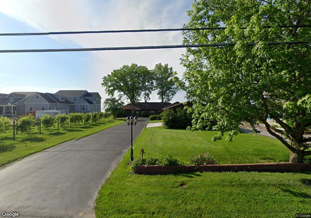
2345 E Sand Rd Port Clinton, OH 43452
Estimated Value: $593,000 - $930,173
3
Beds
2
Baths
2,248
Sq Ft
$336/Sq Ft
Est. Value
About This Home
This home is located at 2345 E Sand Rd, Port Clinton, OH 43452 and is currently estimated at $755,293, approximately $335 per square foot. 2345 E Sand Rd is a home located in Ottawa County with nearby schools including Bataan Memorial Primary School, Bataan Memorial Intermediate School, and Port Clinton Middle School.
Ownership History
Date
Name
Owned For
Owner Type
Purchase Details
Closed on
Jun 28, 2010
Sold by
Underwood Thomas M and Underwood Cheryl A
Bought by
Nagy Scott E and Nagy Sharon
Current Estimated Value
Home Financials for this Owner
Home Financials are based on the most recent Mortgage that was taken out on this home.
Original Mortgage
$265,000
Outstanding Balance
$176,536
Interest Rate
4.77%
Mortgage Type
New Conventional
Estimated Equity
$578,757
Purchase Details
Closed on
Feb 14, 2008
Sold by
Tiell Thomas A
Bought by
Underwood Thomas M and Underwood Cheryl A
Home Financials for this Owner
Home Financials are based on the most recent Mortgage that was taken out on this home.
Original Mortgage
$417,000
Outstanding Balance
$263,719
Interest Rate
6.11%
Mortgage Type
Purchase Money Mortgage
Estimated Equity
$491,574
Purchase Details
Closed on
Nov 10, 2004
Sold by
Gordon Marc and Gordon Susan
Bought by
Tiell Thomas A and Tiell Deborah L
Home Financials for this Owner
Home Financials are based on the most recent Mortgage that was taken out on this home.
Original Mortgage
$333,700
Interest Rate
5.8%
Mortgage Type
Purchase Money Mortgage
Purchase Details
Closed on
Oct 5, 2004
Sold by
Bird Marsha L
Bought by
Gordon Marc and Gordon Susan
Home Financials for this Owner
Home Financials are based on the most recent Mortgage that was taken out on this home.
Original Mortgage
$333,700
Interest Rate
5.8%
Mortgage Type
Purchase Money Mortgage
Purchase Details
Closed on
Oct 4, 2004
Sold by
Bird Marsha L
Bought by
Gordon Marc and Gordon Susan
Home Financials for this Owner
Home Financials are based on the most recent Mortgage that was taken out on this home.
Original Mortgage
$333,700
Interest Rate
5.8%
Mortgage Type
Purchase Money Mortgage
Purchase Details
Closed on
Sep 17, 2004
Sold by
Dunbar Mary C
Bought by
Bird Marsha L
Home Financials for this Owner
Home Financials are based on the most recent Mortgage that was taken out on this home.
Original Mortgage
$333,700
Interest Rate
5.8%
Mortgage Type
Purchase Money Mortgage
Create a Home Valuation Report for This Property
The Home Valuation Report is an in-depth analysis detailing your home's value as well as a comparison with similar homes in the area
Home Values in the Area
Average Home Value in this Area
Purchase History
| Date | Buyer | Sale Price | Title Company |
|---|---|---|---|
| Nagy Scott E | $499,000 | Attorney | |
| Underwood Thomas M | $525,000 | Hartung Title | |
| Tiell Thomas A | $495,000 | -- | |
| Gordon Marc | $375,000 | -- | |
| Gordon Marc | $375,000 | -- | |
| Bird Marsha L | $350,000 | -- |
Source: Public Records
Mortgage History
| Date | Status | Borrower | Loan Amount |
|---|---|---|---|
| Open | Nagy Scott E | $265,000 | |
| Open | Underwood Thomas M | $417,000 | |
| Previous Owner | Tiell Thomas A | $333,700 | |
| Previous Owner | Gordon Marc | $225,000 |
Source: Public Records
Tax History Compared to Growth
Tax History
| Year | Tax Paid | Tax Assessment Tax Assessment Total Assessment is a certain percentage of the fair market value that is determined by local assessors to be the total taxable value of land and additions on the property. | Land | Improvement |
|---|---|---|---|---|
| 2024 | $9,685 | $284,607 | $224,655 | $59,952 |
| 2023 | $9,685 | $190,719 | $136,115 | $54,604 |
| 2022 | $7,103 | $190,719 | $136,115 | $54,604 |
| 2021 | $7,096 | $190,730 | $136,120 | $54,610 |
| 2020 | $6,385 | $164,380 | $109,770 | $54,610 |
| 2019 | $6,276 | $164,380 | $109,770 | $54,610 |
| 2018 | $5,968 | $161,360 | $109,770 | $51,590 |
| 2017 | $5,840 | $155,340 | $109,770 | $45,570 |
| 2016 | $5,854 | $155,340 | $109,770 | $45,570 |
| 2015 | $5,884 | $155,340 | $109,770 | $45,570 |
| 2014 | $3,068 | $160,770 | $119,330 | $41,440 |
| 2013 | $3,075 | $160,770 | $119,330 | $41,440 |
Source: Public Records
Map
Nearby Homes
- 2350 E Sand Rd
- 2348 E Sand Rd
- 2130 E Sand Rd
- 2656 E Harbor Rd Unit D-3
- 2656 E Harbor Rd Unit D-2
- 2656 E Harbor Rd Unit D-1
- 2322 E State Rd Unit 12
- 19 N Beach St
- 12 N Beach St
- 680 S Plasterbed Rd Unit 4-7
- 146 N Harbors End Dr Unit 21A
- 2650 E Harbor Rd
- 0 E Harbor Rd
- 2006 E Harbor Rd
- 2817 E Harbor Rd
- 3500 Woodhill Dr
- 34 Grande Lake Dr Unit C
- 764 SE Catawba Rd Unit 109
- 764 SE Catawba Rd Unit 98
- 764 SE Catawba Rd Unit 115
- 2349 E Sand Rd
- 2343 E Sand Rd
- 2341 E Sand Rd
- 2351 E Sand Rd
- 2339 E Sand Rd
- 2353 E Sand Rd
- 2353 E Sand Rd Unit A
- 2237 E Sand Rd
- 2337 E Sand Rd
- 2355 E Sand Rd Unit B
- 2355 E Sand Rd Unit A
- 2355 E Sand Rd
- 2355 E Sand Rd Unit C
- 2333 E Sand Rd
- 2352 E Sand Rd
- 2327 E Sand Rd
- 2359 E Sand Rd
- 2331 E Sand Rd
- 2336 E Sand Rd
- 2358 E Sand Rd