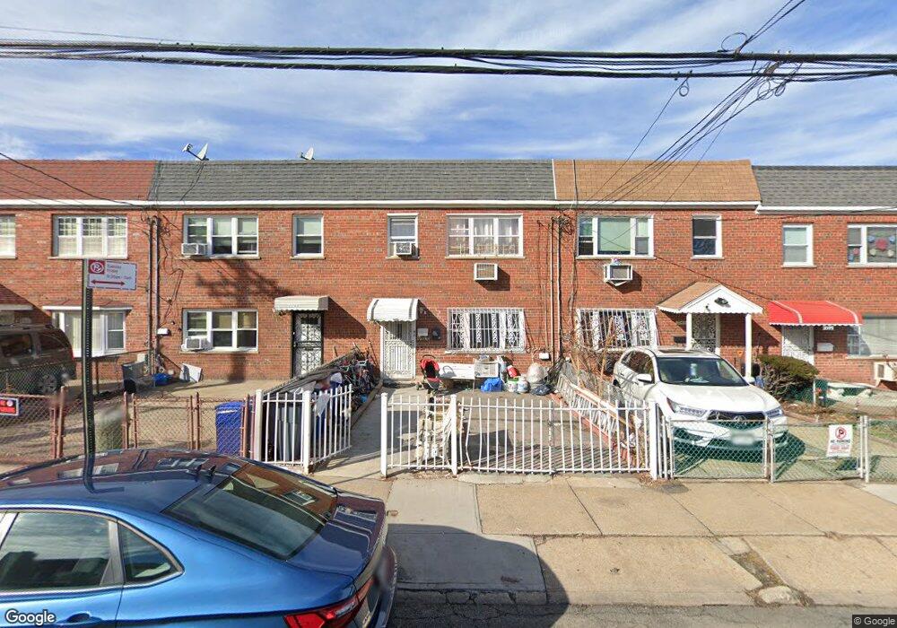
2345 Haviland Ave Bronx, NY 10462
Unionport NeighborhoodEstimated Value: $673,694 - $907,000
--
Bed
--
Bath
1,840
Sq Ft
$445/Sq Ft
Est. Value
About This Home
This home is located at 2345 Haviland Ave, Bronx, NY 10462 and is currently estimated at $818,174, approximately $444 per square foot. 2345 Haviland Ave is a home located in Bronx County with nearby schools including P.S. 36 Unionport, Herbert H Lehman High School, and Bronx Arts & Science Charter School.
Ownership History
Date
Name
Owned For
Owner Type
Purchase Details
Closed on
Jan 23, 2003
Sold by
Calle Jorge and Calle Milton
Bought by
Calle Milton
Current Estimated Value
Purchase Details
Closed on
Sep 29, 2000
Sold by
Calle Sequendo and Calle Jorge
Bought by
Calle Milton and Calle Jorge
Home Financials for this Owner
Home Financials are based on the most recent Mortgage that was taken out on this home.
Original Mortgage
$164,222
Interest Rate
7.71%
Create a Home Valuation Report for This Property
The Home Valuation Report is an in-depth analysis detailing your home's value as well as a comparison with similar homes in the area
Home Values in the Area
Average Home Value in this Area
Purchase History
| Date | Buyer | Sale Price | Title Company |
|---|---|---|---|
| Calle Milton | -- | -- | |
| Calle Milton | -- | -- | |
| Calle Milton | -- | -- | |
| Calle Milton | -- | -- |
Source: Public Records
Mortgage History
| Date | Status | Borrower | Loan Amount |
|---|---|---|---|
| Closed | Calle Milton | $164,222 |
Source: Public Records
Tax History Compared to Growth
Tax History
| Year | Tax Paid | Tax Assessment Tax Assessment Total Assessment is a certain percentage of the fair market value that is determined by local assessors to be the total taxable value of land and additions on the property. | Land | Improvement |
|---|---|---|---|---|
| 2025 | $7,072 | $37,320 | $8,233 | $29,087 |
| 2024 | $7,072 | $35,208 | $9,074 | $26,134 |
| 2023 | $7,147 | $35,190 | $8,877 | $26,313 |
| 2022 | $6,628 | $33,540 | $10,020 | $23,520 |
| 2021 | $6,591 | $33,360 | $10,020 | $23,340 |
| 2020 | $6,583 | $36,420 | $10,020 | $26,400 |
| 2019 | $6,138 | $29,340 | $10,020 | $19,320 |
| 2018 | $5,978 | $29,325 | $8,562 | $20,763 |
| 2017 | $5,640 | $27,666 | $9,006 | $18,660 |
| 2016 | $5,218 | $26,100 | $10,020 | $16,080 |
| 2015 | $3,317 | $25,948 | $10,446 | $15,502 |
| 2014 | $3,317 | $24,480 | $10,372 | $14,108 |
Source: Public Records
Map
Nearby Homes
- 1170 Havemeyer Ave
- 2343 Gleason Ave
- 1163 Havemeyer Ave
- 2328 Ellis Ave
- 1218 Havemeyer Ave
- 2267 Bruckner Blvd
- 2354 Waterbury Ave
- 2237 Ellis Ave
- 2164 Cross Bronx Expy
- 2209 Ellis Ave
- 2261 Story Ave
- 2335 Hermany Ave
- 1428 Doris St
- 2131 Bruckner Blvd
- 1335 Herschell St
- 2131 Newbold Ave
- 909 Castle Hill Ave
- 2139 Quimby Ave
- 2348 Turnbull Ave
- 2121 Quimby Ave
- 2347 Haviland Ave
- 2343 Haviland Ave
- 2349 Haviland Ave
- 2341 Haviland Ave
- 2351 Haviland Ave
- 2339 Haviland Ave
- 2353 Haviland Ave
- 2337 Haviland Ave Unit 2337 Haviland Ave
- 2337 Haviland Ave
- 2346 Powell Ave
- 2344 Powell Ave
- 2348 Powell Ave
- 2335 Haviland Ave
- 2342 Powell Ave
- 2338 Powell Ave
- 2350 Powell Ave
- 2333 Haviland Ave
- 2336 Powell Ave
- 2334 Powell Ave
- 2332 Powell Ave