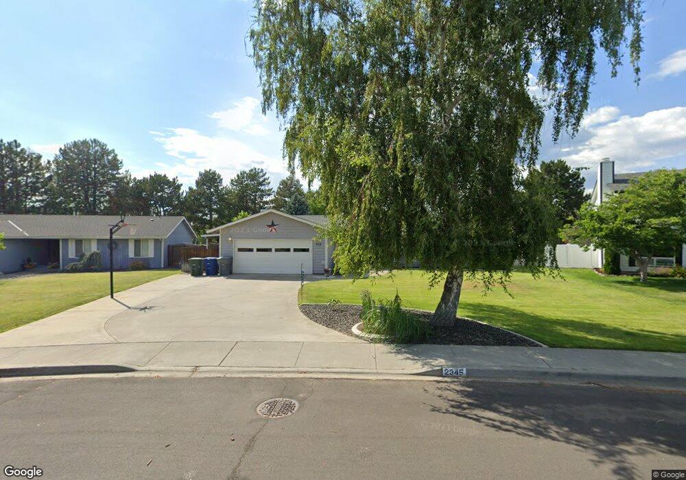
2345 Michael Ave Richland, WA 99352
Meadow Springs NeighborhoodEstimated Value: $404,615 - $457,000
4
Beds
2
Baths
1,572
Sq Ft
$278/Sq Ft
Est. Value
About This Home
This home is located at 2345 Michael Ave, Richland, WA 99352 and is currently estimated at $436,404, approximately $277 per square foot. 2345 Michael Ave is a home located in Benton County with nearby schools including Badger Mountain Elementary School, Carmichael Middle School, and Richland High School.
Ownership History
Date
Name
Owned For
Owner Type
Purchase Details
Closed on
Feb 22, 2016
Sold by
Lawson Roger and Kimball Lawson Valerie
Bought by
Lawson Roger and Kimball Lawson Valerie
Current Estimated Value
Home Financials for this Owner
Home Financials are based on the most recent Mortgage that was taken out on this home.
Original Mortgage
$185,216
Interest Rate
3.81%
Mortgage Type
VA
Purchase Details
Closed on
Feb 25, 2011
Sold by
Lawson Valerie
Bought by
Lawson Roger and Lawson Valerie
Purchase Details
Closed on
May 13, 2005
Sold by
Stevens Kimberly A
Bought by
Kimball Lawson Valerie
Home Financials for this Owner
Home Financials are based on the most recent Mortgage that was taken out on this home.
Original Mortgage
$154,500
Interest Rate
5.87%
Mortgage Type
Fannie Mae Freddie Mac
Create a Home Valuation Report for This Property
The Home Valuation Report is an in-depth analysis detailing your home's value as well as a comparison with similar homes in the area
Home Values in the Area
Average Home Value in this Area
Purchase History
| Date | Buyer | Sale Price | Title Company |
|---|---|---|---|
| Lawson Roger | -- | Fidelity Natl Title Group | |
| Lawson Roger | -- | None Available | |
| Kimball Lawson Valerie | $154,500 | Benton Franklin Titl |
Source: Public Records
Mortgage History
| Date | Status | Borrower | Loan Amount |
|---|---|---|---|
| Previous Owner | Lawson Roger | $185,216 | |
| Previous Owner | Kimball Lawson Valerie | $154,500 |
Source: Public Records
Tax History Compared to Growth
Tax History
| Year | Tax Paid | Tax Assessment Tax Assessment Total Assessment is a certain percentage of the fair market value that is determined by local assessors to be the total taxable value of land and additions on the property. | Land | Improvement |
|---|---|---|---|---|
| 2024 | $272 | $151,970 | $43,000 | $108,970 |
| 2023 | $272 | $151,970 | $43,000 | $108,970 |
| 2022 | $329 | $151,970 | $43,000 | $108,970 |
| 2021 | $368 | $151,970 | $43,000 | $108,970 |
| 2020 | $385 | $236,480 | $75,000 | $161,480 |
| 2019 | $630 | $236,480 | $75,000 | $161,480 |
| 2018 | $670 | $220,330 | $75,000 | $145,330 |
| 2017 | $668 | $198,800 | $75,000 | $123,800 |
| 2016 | $663 | $151,970 | $43,000 | $108,970 |
| 2015 | $1,034 | $151,970 | $43,000 | $108,970 |
| 2014 | -- | $151,970 | $43,000 | $108,970 |
| 2013 | -- | $151,970 | $43,000 | $108,970 |
Source: Public Records
Map
Nearby Homes
- 604 Linda Ct
- 2307 Franz Ct
- 2029 Weiskopf Ct
- 2025 Venturi Ct
- 2404 Mark Ave
- 510 Hogan Ct
- 1934 Fairway Dr
- 630 Meadows Dr E
- 1913 Meadows Dr N
- 608 Meadows Dr S
- 905 N Pittsburg St
- 8906 W Rio Grande Ave
- 423 Nicklaus Ct
- 9005 W John Day Ave
- 2441 Tiger Ln
- 9014 W Grand Ronde Ave
- 8820 W Imnaha Ct
- 2350 Siena Ave
- 269 Gage Blvd
- 277 Gage Blvd
- 2351 Michael Ave
- 2341 Michael Ave
- 601 Muriel St
- 603 Muriel St
- 2350 Michael Ave
- 2361 Michael Ave
- 2331 Michael Ave
- 605 Muriel St
- 2330 Michael Ave
- 602 Linda Ct
- 2365 Michael Ave
- 2313 Michael Ave
- 607 Muriel St
- 2320 Michael Ave
- 609 Muriel St
- 2371 Michael Ave
- 2311 Michael Ave
- 606 Linda Ct
- 601 Linda Ct
- 2310 Michael Ave