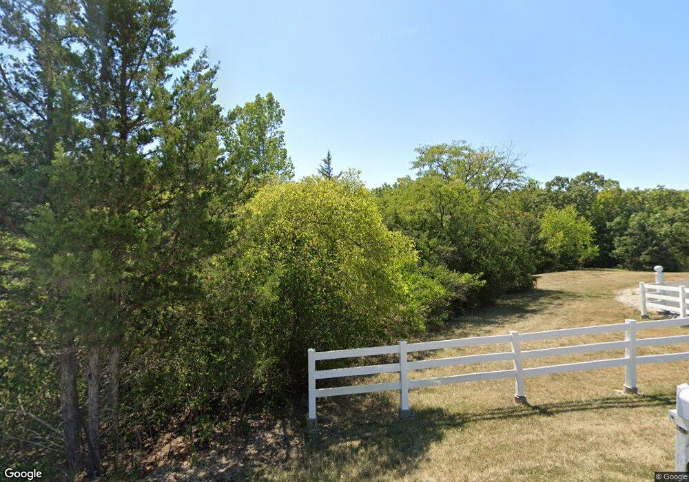
2345 NW Lowenstein Dr Lees Summit, MO 64081
Lee's Summit AreaEstimated Value: $539,000 - $803,724
About This Home
This home is located at 2345 NW Lowenstein Dr, Lees Summit, MO 64081 and is currently estimated at $667,431, approximately $219 per square foot. 2345 NW Lowenstein Dr is a home located in Jackson County with nearby schools including Cedar Creek Elementary School, Bernard C. Campbell Middle School, and Lee's Summit North High School.
Ownership History
We collect this data history from publicly available records. To have your information removed, we recommend requesting removal directly through your county’s website.
Purchase Details
Purchase Details
Home Values in the Area
Average Home Value in this Area
Purchase History
We collect this data history from publicly available records. To have your information removed, we recommend requesting removal directly through your county’s website.
| Date | Buyer | Sale Price | Title Company |
|---|---|---|---|
| -- | None Available | ||
| -- | -- |
Tax History
We collect this data history from publicly available records. To have your information removed, we recommend requesting removal directly through your county’s website.
| Year | Tax Paid | Tax Assessment Tax Assessment Total Assessment is a certain percentage of the fair market value that is determined by local assessors to be the total taxable value of land and additions on the property. | Land | Improvement |
|---|---|---|---|---|
| 2025 | $7,518 | $119,738 | $21,932 | $97,806 |
| 2024 | $7,464 | $104,120 | $30,140 | $73,980 |
| 2023 | $7,464 | $104,120 | $30,140 | $73,980 |
| 2022 | $8,114 | $100,510 | $11,277 | $89,233 |
| 2021 | $8,282 | $100,510 | $11,277 | $89,233 |
| 2020 | $7,969 | $95,770 | $11,277 | $84,493 |
| 2019 | $7,751 | $95,770 | $11,277 | $84,493 |
| 2018 | $5,645 | $64,727 | $11,990 | $52,737 |
| 2017 | $5,645 | $64,727 | $11,990 | $52,737 |
| 2016 | $5,560 | $63,105 | $11,488 | $51,617 |
| 2014 | $5,672 | $63,105 | $11,488 | $51,617 |
Map
- 1056 NW High Point Dr
- 2448 NW Valley View Dr
- 2452 NW Valley View Dr
- 833 NW High Point Dr
- 2450 NW Lowenstein Dr
- 2508 NW Bent Tree Cir
- 627 NW Timberbrooke Dr
- 510 NW Ashurst Place
- 105 NW Ambersham Dr
- 469 NW Riven Rock Place
- 400 NW Tennyson Place
- 14108 E 96th Terrace
- 433 NW Kaylea Ct
- 9528 Pearl Ave
- 2074 NW O'Brien Rd
- 2070 NW O'Brien Rd
- 9215 Valley Garden Dr
- 301 NW Rockhill Cir
- 341 NW Thoreau Cir
- 336 NW Thoreau Cir
- 2325 NW Lowenstein Dr
- 1015 NW Silverthorn Dr
- 1020 NW Silverthorn Dr
- 1009 NW Silverthorn Dr
- 1016 NW Silverthorn Dr
- 1012 NW Silverthorn Dr
- 1005 NW Silverthorn Dr
- 1001 NW Silverthorn Dr
- 1060 NW High Point Dr
- 1064 NW High Point Dr
- 1000 NW Silverthorn Dr
- 1008 NW Silverthorn Dr
- 1068 NW High Point Dr
- 1052 NW High Point Dr
- 1004 NW Silverthorn Dr
- 2432 NW Valley View Dr
- 1072 NW High Point Dr
- 2440 NW Valley View Dr
- 2428 NW Valley View Dr
- 1076 NW High Point Dr
Ask me questions while you tour the home.