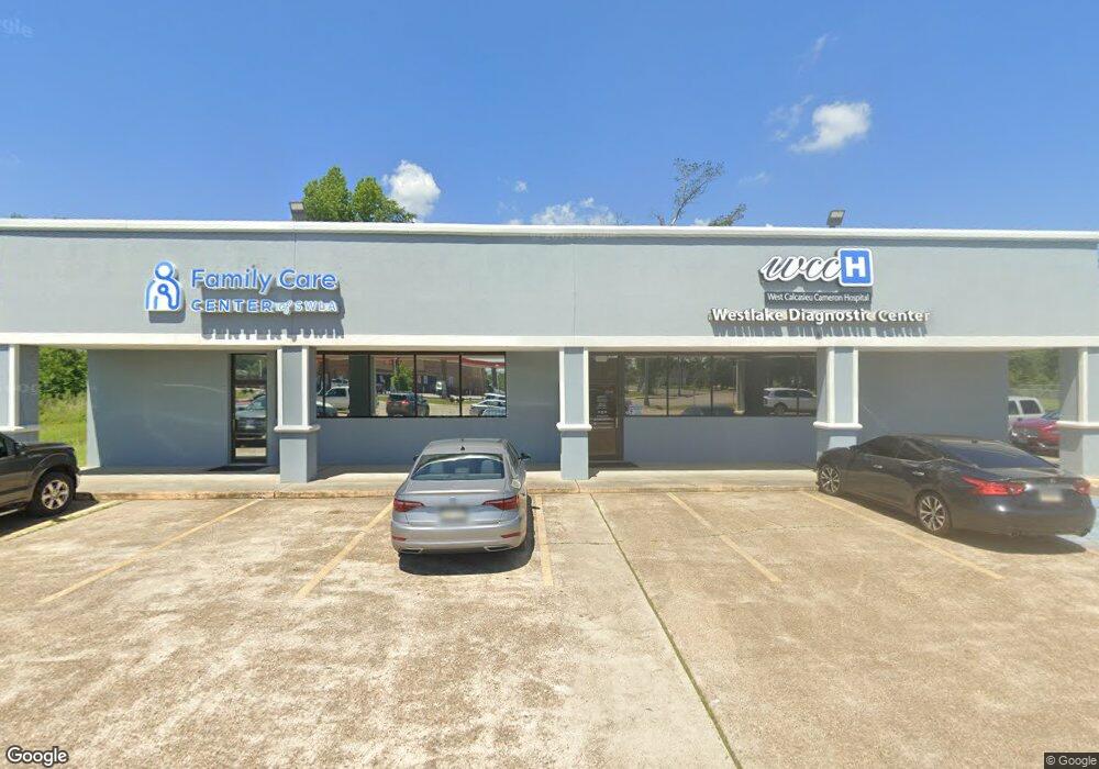
2345 Sampson St Westlake, LA 70669
--
Bed
--
Bath
8,100
Sq Ft
0.58
Acres
About This Home
This home is located at 2345 Sampson St, Westlake, LA 70669. 2345 Sampson St is a home located in Calcasieu Parish with nearby schools including Westwood Elementary School, Western Heights Elementary School, and S.P. Arnett Middle School.
Ownership History
Date
Name
Owned For
Owner Type
Purchase Details
Closed on
Oct 14, 2010
Sold by
Calcasieu Cameron Hospital Service Distr
Bought by
George Family Holdings Llc
Home Financials for this Owner
Home Financials are based on the most recent Mortgage that was taken out on this home.
Original Mortgage
$399,538
Outstanding Balance
$264,189
Interest Rate
4.39%
Mortgage Type
Commercial
Create a Home Valuation Report for This Property
The Home Valuation Report is an in-depth analysis detailing your home's value as well as a comparison with similar homes in the area
Home Values in the Area
Average Home Value in this Area
Purchase History
| Date | Buyer | Sale Price | Title Company |
|---|---|---|---|
| George Family Holdings Llc | $380,000 | None Available |
Source: Public Records
Mortgage History
| Date | Status | Borrower | Loan Amount |
|---|---|---|---|
| Open | George Family Holdings Llc | $399,538 |
Source: Public Records
Tax History Compared to Growth
Tax History
| Year | Tax Paid | Tax Assessment Tax Assessment Total Assessment is a certain percentage of the fair market value that is determined by local assessors to be the total taxable value of land and additions on the property. | Land | Improvement |
|---|---|---|---|---|
| 2024 | $7,882 | $65,240 | $6,880 | $58,360 |
| 2023 | $7,882 | $65,240 | $6,880 | $58,360 |
| 2022 | $8,047 | $65,240 | $6,880 | $58,360 |
| 2021 | $6,288 | $65,240 | $6,880 | $58,360 |
| 2020 | $6,439 | $53,290 | $6,600 | $46,690 |
| 2019 | $8,209 | $64,660 | $6,300 | $58,360 |
| 2018 | $7,660 | $64,660 | $6,300 | $58,360 |
| 2017 | $7,973 | $64,660 | $6,300 | $58,360 |
| 2016 | $2,852 | $96,910 | $6,300 | $90,610 |
| 2015 | $2,852 | $27,130 | $6,300 | $20,830 |
Source: Public Records
Map
Nearby Homes
- 2215 Pitre St
- 2210 Mccloud St
- 2429 Duraso Dr
- 2425 Duraso Dr
- 618 John Stine Rd
- 2201 Duke St
- 0 John Stine Rd Unit SWL25000871
- 1622 Reserve Dr
- 0 Bee Tree St Unit SWL25000986
- 1630 Reserve Dr
- 2524 Cox Rd
- 931 John Stine Rd
- 1653 Reserve Dr
- 2526 Cox Rd
- 822 Shady Ln
- 1650 Reserve Dr
- 1512 Fairway Dr
- 920 Shady Ln
- 2414 Fenimore Loop
- 2412 Fenimore Loop
- 2408 Sampson St
- 911 John Stine Rd
- 0 Davis Rd Or Hwy 378 Rd
- 2365 Westwood Rd
- 915 John Stine Rd
- 2336 Westwood Rd
- 2400 Westwood Rd
- 921 John Stine Rd
- 2404 Fox Field Rd
- 912 John Stine Rd
- 2324 Sampson St
- 929 John Stine Rd
- 807 John Stine Rd
- 2342 Foster Ln
- 2338 Foster Ln
- 2338 Foster Ln
- 2408 Westwood Rd
- 2336 Foster Ln
- 721 Conrad Ln
- 0 Foster Ln