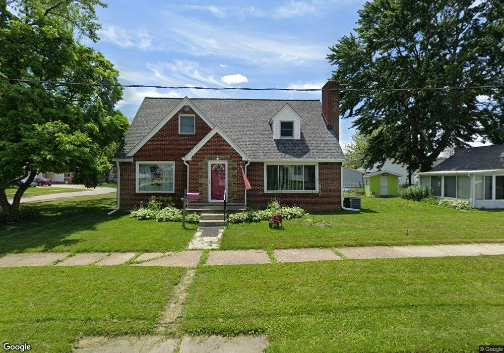
2346 Burnside Ave Oregon, OH 43616
Estimated Value: $167,000 - $199,000
3
Beds
1
Bath
1,881
Sq Ft
$100/Sq Ft
Est. Value
About This Home
This home is located at 2346 Burnside Ave, Oregon, OH 43616 and is currently estimated at $187,530, approximately $99 per square foot. 2346 Burnside Ave is a home located in Lucas County with nearby schools including St. Kateri Catholic Schools and Kateri Catholic Academy.
Ownership History
Date
Name
Owned For
Owner Type
Purchase Details
Closed on
Jun 28, 1995
Sold by
Steele Robert O
Bought by
Mclaughlin David O and Mclaughlin Nancy M
Current Estimated Value
Home Financials for this Owner
Home Financials are based on the most recent Mortgage that was taken out on this home.
Original Mortgage
$69,900
Interest Rate
7.88%
Mortgage Type
New Conventional
Create a Home Valuation Report for This Property
The Home Valuation Report is an in-depth analysis detailing your home's value as well as a comparison with similar homes in the area
Home Values in the Area
Average Home Value in this Area
Purchase History
| Date | Buyer | Sale Price | Title Company |
|---|---|---|---|
| Mclaughlin David O | $70,000 | -- |
Source: Public Records
Mortgage History
| Date | Status | Borrower | Loan Amount |
|---|---|---|---|
| Closed | Mclaughlin David O | $69,900 |
Source: Public Records
Tax History Compared to Growth
Tax History
| Year | Tax Paid | Tax Assessment Tax Assessment Total Assessment is a certain percentage of the fair market value that is determined by local assessors to be the total taxable value of land and additions on the property. | Land | Improvement |
|---|---|---|---|---|
| 2024 | $1,049 | $43,610 | $7,910 | $35,700 |
| 2023 | $2,182 | $38,745 | $6,930 | $31,815 |
| 2022 | $2,197 | $38,745 | $6,930 | $31,815 |
| 2021 | $2,215 | $38,745 | $6,930 | $31,815 |
| 2020 | $2,047 | $31,780 | $5,670 | $26,110 |
| 2019 | $1,989 | $31,780 | $5,670 | $26,110 |
| 2018 | $2,006 | $31,780 | $5,670 | $26,110 |
| 2017 | $2,070 | $31,010 | $5,075 | $25,935 |
| 2016 | $2,043 | $88,600 | $14,500 | $74,100 |
| 2015 | $2,030 | $88,600 | $14,500 | $74,100 |
| 2014 | $1,853 | $30,380 | $4,970 | $25,410 |
| 2013 | $1,853 | $30,380 | $4,970 | $25,410 |
Source: Public Records
Map
Nearby Homes
- 2432 Brown Rd
- 2432 Rochester Place
- 2011 Oakdale Ave
- 1923 Watts Ave
- 2249 Pickle Rd
- 1925 Metz Ave
- 0 Curtice Rd
- 228 Lester Ave
- 2019 Blandin St
- 1439 Holmes St
- 0 Lemoyne Rd
- 3531 Goodrich Ave
- 29 Lemoyne Rd
- 2325 Wilkes Rd
- 127 Lemoyne Rd
- 123 Lemoyne Rd
- 1512 Vinal St
- 1531 Freedom St
- Sweet Pea Plan at Oregon Town Center - Aspire at Oregon Town Center
- 1508 Albert St
- 1646 Groll Dr
- 1652 Groll Dr
- 2332 Burnside Ave
- 1656 Groll Dr
- 2345 Burnside Ave
- 2349 Burnside Ave
- 2341 Burnside Ave
- 2408 Burnside Ave
- 1639 Groll Dr
- 2337 Burnside Ave
- 2337 Burnside Ave Unit 2337 Burnside Upper
- 2337 Burnside Ave Unit 1
- 2401 Burnside Ave
- 2401 Burnside Ave
- 2401 Burnside Ave Unit 2
- 2401 Burnside Ave Unit 1
- 2333 Burnside Ave
- 1647 Groll Dr
- 2329 Burnside Ave
- 2405 Burnside Ave