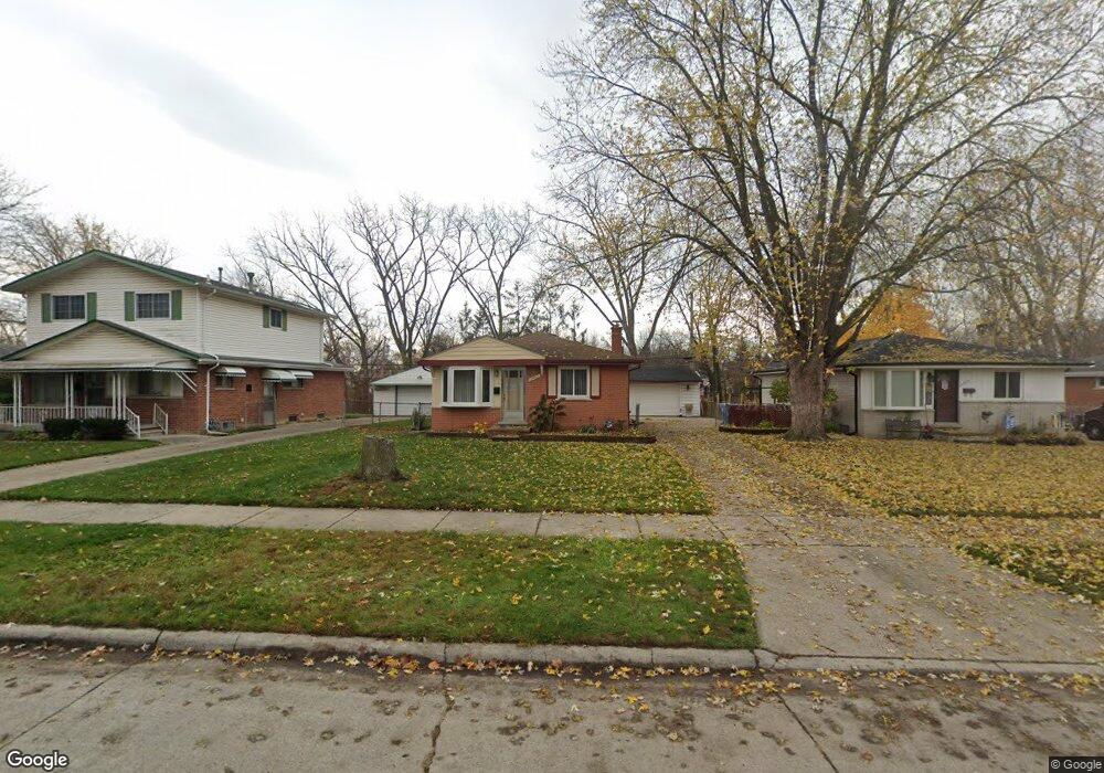
23463 Powers Ave Dearborn Heights, MI 48125
Estimated Value: $167,431 - $201,000
3
Beds
1
Bath
894
Sq Ft
$205/Sq Ft
Est. Value
About This Home
This home is located at 23463 Powers Ave, Dearborn Heights, MI 48125 and is currently estimated at $183,608, approximately $205 per square foot. 23463 Powers Ave is a home located in Wayne County with nearby schools including Polk Elementary School, Bedford School, and Pardee School.
Ownership History
Date
Name
Owned For
Owner Type
Purchase Details
Closed on
Apr 25, 2011
Sold by
Toohey Jon A
Bought by
Toohey Kirk R
Current Estimated Value
Purchase Details
Closed on
Nov 4, 2010
Sold by
Donovan Shaun
Bought by
Toohey Jon and Toohey Kirk
Purchase Details
Closed on
Apr 5, 2010
Sold by
Citimortgage Inc
Bought by
Secretary Of Housing & Urban Development
Purchase Details
Closed on
Sep 17, 2009
Sold by
Miller Michael A and Caruso Giacomo
Bought by
Citimortgage Inc
Create a Home Valuation Report for This Property
The Home Valuation Report is an in-depth analysis detailing your home's value as well as a comparison with similar homes in the area
Home Values in the Area
Average Home Value in this Area
Purchase History
| Date | Buyer | Sale Price | Title Company |
|---|---|---|---|
| Toohey Kirk R | -- | Interstate Title Inc | |
| Toohey Jon | $38,000 | None Available | |
| Secretary Of Housing & Urban Development | -- | None Available | |
| Citimortgage Inc | $111,355 | None Available |
Source: Public Records
Tax History Compared to Growth
Tax History
| Year | Tax Paid | Tax Assessment Tax Assessment Total Assessment is a certain percentage of the fair market value that is determined by local assessors to be the total taxable value of land and additions on the property. | Land | Improvement |
|---|---|---|---|---|
| 2025 | $1,484 | $76,600 | $0 | $0 |
| 2024 | $1,484 | $73,100 | $0 | $0 |
| 2023 | $1,403 | $64,500 | $0 | $0 |
| 2022 | $1,950 | $58,000 | $0 | $0 |
| 2021 | $1,952 | $54,300 | $0 | $0 |
| 2019 | $1,892 | $42,900 | $0 | $0 |
| 2018 | $1,271 | $37,900 | $0 | $0 |
| 2017 | $1,148 | $35,900 | $0 | $0 |
| 2016 | $1,807 | $34,200 | $0 | $0 |
| 2015 | $3,220 | $32,200 | $0 | $0 |
| 2013 | $3,460 | $35,200 | $0 | $0 |
| 2010 | -- | $39,400 | $0 | $0 |
Source: Public Records
Map
Nearby Homes
- 4665 Syracuse St
- 4901 Cornell St
- 4449 Academy St
- 4506 Syracuse St
- 4474 Syracuse St
- 23214 S Brookside Dr
- 5671 Syracuse St
- 4459 Parker St
- 5689 Cornell St
- 4489 Westpoint St
- 22453 Pardee Ct
- 24035 Currier St
- 24117 Eton Ave
- 000 Hanover St
- 4943 Pardee Ave
- 5908 Pine St
- 4209 Vassar St
- 5954 Pine St
- 5015 Lincoln Blvd
- 4665 Lincoln Blvd
- 23451 Powers Ave
- 23503 Powers Ave
- 23515 Powers Ave
- 23441 Powers Ave
- 23527 Powers Ave Unit Bldg-Unit
- 23527 Powers Ave
- 23431 Powers Ave
- 23420 Hanover St
- 23430 Hanover St
- 4752 Academy St
- 23539 Powers Ave
- 23421 Powers Ave
- 23340 Hanover St
- 23410 Hanover St
- 23440 Hanover St
- 4733 Academy St
- 4742 Academy St
- 23411 Powers Ave
- 23450 Hanover St
- 23340 N Hanover