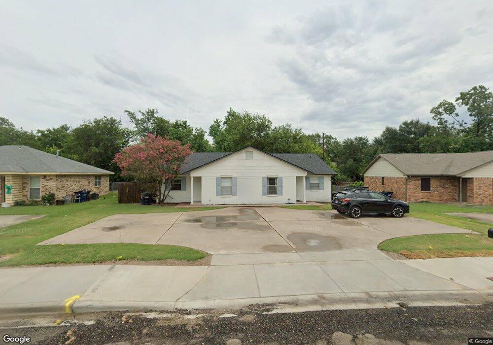
2347 Cornell Dr College Station, TX 77840
Wolf Pen Creek District NeighborhoodEstimated Value: $219,000 - $296,232
2
Beds
--
Bath
835
Sq Ft
$317/Sq Ft
Est. Value
About This Home
This home is located at 2347 Cornell Dr, College Station, TX 77840 and is currently estimated at $264,808, approximately $317 per square foot. 2347 Cornell Dr is a home located in Brazos County with nearby schools including College Hills Elementary School, A&M Consolidated Middle School, and Oakwood Intermediate School.
Ownership History
Date
Name
Owned For
Owner Type
Purchase Details
Closed on
Sep 21, 2021
Sold by
Rausch George J and Rausch Tillie J
Bought by
River Holdings Llc
Current Estimated Value
Home Financials for this Owner
Home Financials are based on the most recent Mortgage that was taken out on this home.
Original Mortgage
$168,400
Outstanding Balance
$153,231
Interest Rate
2.8%
Mortgage Type
Purchase Money Mortgage
Estimated Equity
$111,577
Create a Home Valuation Report for This Property
The Home Valuation Report is an in-depth analysis detailing your home's value as well as a comparison with similar homes in the area
Home Values in the Area
Average Home Value in this Area
Purchase History
| Date | Buyer | Sale Price | Title Company |
|---|---|---|---|
| River Holdings Llc | -- | None Available |
Source: Public Records
Mortgage History
| Date | Status | Borrower | Loan Amount |
|---|---|---|---|
| Open | River Holdings Llc | $168,400 |
Source: Public Records
Tax History Compared to Growth
Tax History
| Year | Tax Paid | Tax Assessment Tax Assessment Total Assessment is a certain percentage of the fair market value that is determined by local assessors to be the total taxable value of land and additions on the property. | Land | Improvement |
|---|---|---|---|---|
| 2025 | $4,808 | $252,323 | $107,590 | $144,733 |
| 2024 | $4,808 | $252,323 | $103,000 | $149,323 |
| 2023 | $4,808 | $235,334 | $97,033 | $138,301 |
| 2022 | $4,363 | $204,654 | $88,495 | $116,159 |
| 2021 | $3,780 | $167,364 | $73,073 | $94,291 |
| 2020 | $3,841 | $169,144 | $73,073 | $96,071 |
| 2019 | $4,293 | $181,681 | $73,070 | $108,611 |
| 2018 | $3,799 | $159,590 | $65,910 | $93,680 |
| 2017 | $3,795 | $161,260 | $65,910 | $95,350 |
| 2016 | $3,640 | $154,670 | $58,840 | $95,830 |
| 2015 | $3,324 | $144,220 | $58,840 | $85,380 |
| 2014 | $3,324 | $143,420 | $54,440 | $88,980 |
Source: Public Records
Map
Nearby Homes
- 400 Princeton Cir
- 2348 Autumn Chase Loop Unit A-D
- 212 Yale Ct
- 200 Yale Cir
- 310 Manuel Dr Unit AD
- 206 Sterling St
- 2413 Carnation Ct
- 2303 Carnation Ct
- 117 Sterling St
- 204 Richards St
- 202 Richards St Unit A
- 202 Richards St Unit B
- 106 A Sterling St
- 102 Sterling St Unit A
- 293 Estates Cir
- 100 Sterling St
- 102 A & 100 Sterling St
- 269 Estates Cir
- 903 Azalea Ct Unit AB
- 902 Azalea Ct
- 2347 Cornell Dr
- 2347 Cornell Dr Unit 2349
- 2349 Cornell Dr
- 2345 Cornell Dr
- 2351 Cornell Dr
- 2343 & 2345 Cornell Dr
- 2343 Cornell Dr
- 2308 Auburn Ct
- 2304 Auburn Ct
- 2310 Auburn Ct
- 2355 Cornell Dr
- 2350 Cornell Dr
- 2331 Cornell Dr
- 2329 Cornell Dr
- 2312 Auburn Ct
- 2348 Cornell Dr
- 2352 Cornell Dr
- 2302 Auburn Ct
- 2314 Auburn Ct
- 2358 Cornell Dr