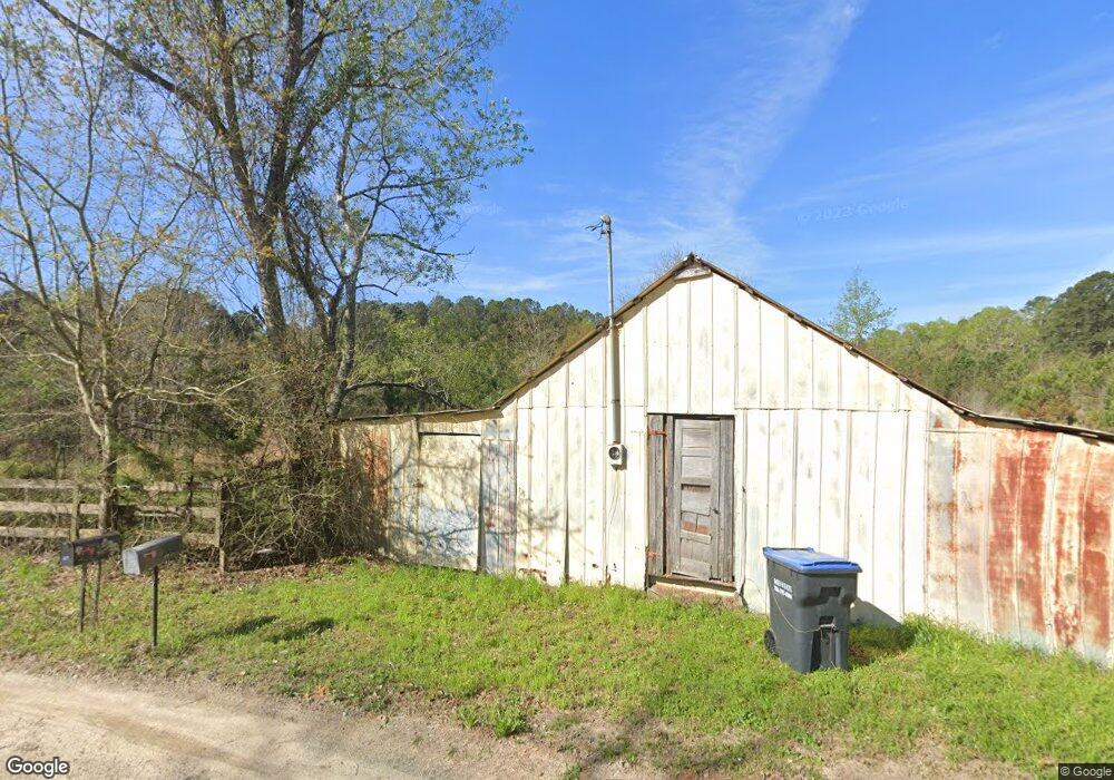
2347 Foster Sprouse Rd Thomson, GA 30824
Estimated Value: $225,000 - $356,503
2
Beds
1
Bath
1,200
Sq Ft
$247/Sq Ft
Est. Value
About This Home
This home is located at 2347 Foster Sprouse Rd, Thomson, GA 30824 and is currently estimated at $296,501, approximately $247 per square foot. 2347 Foster Sprouse Rd is a home located in McDuffie County with nearby schools including Thomson High School.
Ownership History
Date
Name
Owned For
Owner Type
Purchase Details
Closed on
Jun 20, 2011
Sold by
Cope Tommy Edward
Bought by
King Edwards Sarah Patsy and Cope Milton
Current Estimated Value
Purchase Details
Closed on
May 17, 2005
Sold by
Ewest George B
Bought by
Blackburn Terri W and Cope Tommy E
Home Financials for this Owner
Home Financials are based on the most recent Mortgage that was taken out on this home.
Original Mortgage
$40,680
Interest Rate
5.74%
Mortgage Type
New Conventional
Create a Home Valuation Report for This Property
The Home Valuation Report is an in-depth analysis detailing your home's value as well as a comparison with similar homes in the area
Home Values in the Area
Average Home Value in this Area
Purchase History
| Date | Buyer | Sale Price | Title Company |
|---|---|---|---|
| King Edwards Sarah Patsy | -- | -- | |
| Blackburn Terri W | -- | -- | |
| Blackburn Terri W | $87,973 | -- |
Source: Public Records
Mortgage History
| Date | Status | Borrower | Loan Amount |
|---|---|---|---|
| Closed | Blackburn Terri W | $40,680 |
Source: Public Records
Tax History Compared to Growth
Tax History
| Year | Tax Paid | Tax Assessment Tax Assessment Total Assessment is a certain percentage of the fair market value that is determined by local assessors to be the total taxable value of land and additions on the property. | Land | Improvement |
|---|---|---|---|---|
| 2024 | $868 | $69,563 | $20,382 | $49,181 |
| 2023 | $868 | $67,526 | $20,382 | $47,144 |
| 2022 | $1,177 | $63,917 | $20,381 | $43,536 |
| 2021 | $940 | $49,294 | $15,076 | $34,218 |
| 2020 | $788 | $63,870 | $34,913 | $28,957 |
| 2019 | $792 | $63,870 | $34,913 | $28,957 |
| 2018 | $789 | $63,870 | $34,913 | $28,957 |
| 2017 | $758 | $63,870 | $34,913 | $28,957 |
| 2016 | $755 | $63,870 | $34,913 | $28,957 |
| 2015 | $755 | $53,182 | $21,286 | $31,896 |
| 2014 | $735 | $51,682 | $21,286 | $30,396 |
| 2013 | -- | $51,682 | $21,286 | $30,396 |
Source: Public Records
Map
Nearby Homes
- 00 Three Points Rd
- 1403 Tanyard Creek Dr
- 0 3 Points Rd
- 1638 Cedar Rock Rd
- 0 NW Starr Hinson Rd
- 170 Alcovy Rd
- 167 Alcovy Rd
- 166 Alcovy Rd
- 156 Alcovy Rd
- 155 Alcovy Rd
- 141 Alcovy Rd
- 126 Alcovy Rd
- 140 Alcovy Rd
- 125 Alcovy Rd
- 111 Alcovy Rd
- 110 Big Rock Rd
- 141 Big Rock Rd
- 140 Big Rock Rd
- 126 Big Rock Rd
- 150 Big Rock Rd
- 2348 Foster Sprouse Rd
- 2343 Foster Sprouse Rd
- 2173 Foster Sprouse Rd
- 2192 Foster Sprouse Rd
- 2248 Foster Sprouse Rd
- 1 Foster Sprouse Rd
- 0000 Foster Sprouse Rd
- 0 Foster Sprouse Rd
- 2171 Foster Sprouse Rd
- 2418 Foster Sprouse Rd
- 2553 Foster Sprouse Rd
- 2564 Foster Sprouse Rd
- 2663 Foster Sprouse Rd
- 2115 Foster Sprouse Rd
- 1969 Foster Sprouse Rd
- 2699 Foster Sprouse Rd
- 2690 Foster Sprouse Rd
- 1251 Mesena Rd
- 1079 Mesena Rd
- 1241 Mesena Rd Unit 1209