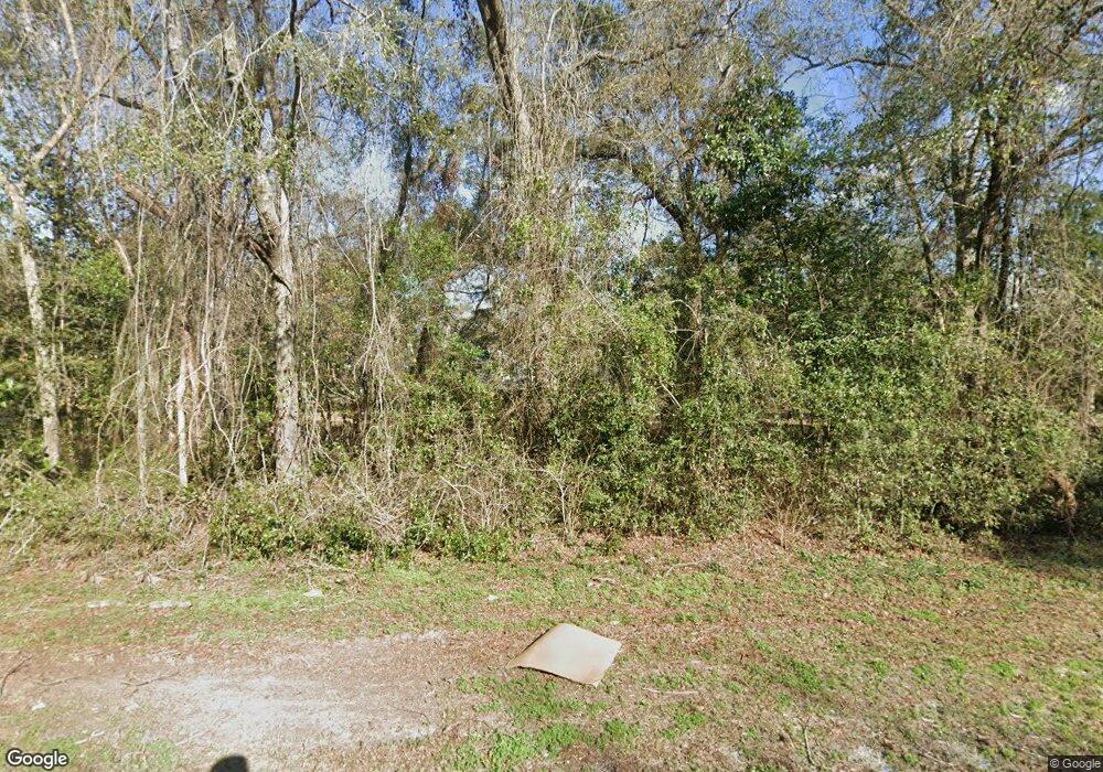
23478 Us Highway 129 O Brien, FL 32071
Estimated Value: $371,758 - $1,243,000
--
Bed
--
Bath
2,238
Sq Ft
$276/Sq Ft
Est. Value
About This Home
This home is located at 23478 Us Highway 129, O Brien, FL 32071 and is currently estimated at $618,690, approximately $276 per square foot. 23478 Us Highway 129 is a home located in Suwannee County with nearby schools including Branford Elementary School and Branford High School.
Ownership History
Date
Name
Owned For
Owner Type
Purchase Details
Closed on
Nov 29, 2018
Sold by
Hall Christine Diane
Bought by
Hall Kenneth Alfred
Current Estimated Value
Purchase Details
Closed on
Jul 26, 2007
Sold by
Ross J D and Ross Alice E
Bought by
Hall Kenneth A
Home Financials for this Owner
Home Financials are based on the most recent Mortgage that was taken out on this home.
Original Mortgage
$400,000
Interest Rate
6.71%
Mortgage Type
Seller Take Back
Create a Home Valuation Report for This Property
The Home Valuation Report is an in-depth analysis detailing your home's value as well as a comparison with similar homes in the area
Home Values in the Area
Average Home Value in this Area
Purchase History
| Date | Buyer | Sale Price | Title Company |
|---|---|---|---|
| Hall Kenneth Alfred | -- | Attorney | |
| Hall Kenneth A | $643,482 | Attorney |
Source: Public Records
Mortgage History
| Date | Status | Borrower | Loan Amount |
|---|---|---|---|
| Closed | Hall Kenneth A | $400,000 |
Source: Public Records
Tax History Compared to Growth
Tax History
| Year | Tax Paid | Tax Assessment Tax Assessment Total Assessment is a certain percentage of the fair market value that is determined by local assessors to be the total taxable value of land and additions on the property. | Land | Improvement |
|---|---|---|---|---|
| 2024 | $1,749 | $279,352 | $39,000 | $240,352 |
| 2023 | $1,749 | $135,007 | $0 | $0 |
| 2022 | $1,695 | $193,188 | $23,400 | $169,788 |
| 2021 | $1,680 | $160,092 | $10,920 | $149,172 |
| 2020 | $1,543 | $125,500 | $0 | $0 |
| 2019 | $1,513 | $122,678 | $0 | $0 |
| 2018 | $1,480 | $120,391 | $0 | $0 |
| 2017 | $1,464 | $117,915 | $0 | $0 |
| 2016 | $1,460 | $115,490 | $0 | $0 |
| 2015 | $1,464 | $114,688 | $0 | $0 |
| 2014 | $1,454 | $113,778 | $0 | $0 |
Source: Public Records
Map
Nearby Homes
- 23851 93rd Dr
- 9174 232nd St
- 24040 US Highway 129
- 8516 240th St
- 00 Us Hwy 129
- 14900 Riverside Dr
- 21852 Damascus Place
- 00 226th St
- 9126 220th St
- 25224 Hwy 129
- TBD Brantley Rd
- 25296 97th Dr
- LOT83 109th Drive 246th St
- TBD 1 109th Dr
- 9388 216th St
- TBD1 Magnolia Dr
- TBD 216th St
- 9312 216th St
- 7766 216th St
- 0 116th Terrace Unit 128354
- 23456 Us Highway 129
- 23446 Us Highway 129
- 23427 93rd Dr
- 9320 232nd St
- 23253 93rd Dr
- 9162 232nd St
- 0 'Brien Air Park Unit A1849687
- 208 Street
- 23065 93rd Dr
- 8961 240th St
- 24037 93rd Dr
- 8959 240th St
- 24270 Us Hwy 129
- 24270 Us Highway 129
- 0 101st Road North 1 2 Unit 115941
- 101ST Road North 1 2
- 240TH 240th St
- 0 101st Rd
- 101ST Road
- 23495 101st Rd
