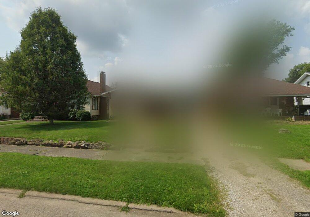
2349 Shunk Ave Alliance, OH 44601
Estimated Value: $122,463 - $146,000
2
Beds
1
Bath
1,028
Sq Ft
$130/Sq Ft
Est. Value
About This Home
This home is located at 2349 Shunk Ave, Alliance, OH 44601 and is currently estimated at $134,116, approximately $130 per square foot. 2349 Shunk Ave is a home located in Stark County with nearby schools including Alliance Elementary School at Rockhill, Alliance Intermediate School at Northside, and Alliance Middle School.
Ownership History
Date
Name
Owned For
Owner Type
Purchase Details
Closed on
Jul 2, 2021
Sold by
Shunk Estates Llc
Bought by
Rogers Katherine M
Current Estimated Value
Purchase Details
Closed on
Dec 31, 2020
Sold by
Fletcher Corey W and Fletcher Courtney C
Bought by
Shunk Estates Llc
Home Financials for this Owner
Home Financials are based on the most recent Mortgage that was taken out on this home.
Original Mortgage
$62,000
Interest Rate
2.7%
Mortgage Type
Purchase Money Mortgage
Purchase Details
Closed on
Nov 18, 2005
Sold by
Ware Johanna and Ware Steve
Bought by
Fletcher Corey W and Sanders Courtney C
Home Financials for this Owner
Home Financials are based on the most recent Mortgage that was taken out on this home.
Original Mortgage
$80,043
Interest Rate
6.04%
Mortgage Type
FHA
Purchase Details
Closed on
Nov 27, 1989
Create a Home Valuation Report for This Property
The Home Valuation Report is an in-depth analysis detailing your home's value as well as a comparison with similar homes in the area
Home Values in the Area
Average Home Value in this Area
Purchase History
| Date | Buyer | Sale Price | Title Company |
|---|---|---|---|
| Rogers Katherine M | $25,000 | None Available | |
| Shunk Estates Llc | $42,000 | Heritage Union Title Co Ltd | |
| Fletcher Corey W | $81,300 | -- | |
| -- | $23,000 | -- |
Source: Public Records
Mortgage History
| Date | Status | Borrower | Loan Amount |
|---|---|---|---|
| Previous Owner | Shunk Estates Llc | $62,000 | |
| Previous Owner | Fletcher Corey W | $80,043 |
Source: Public Records
Tax History
| Year | Tax Paid | Tax Assessment Tax Assessment Total Assessment is a certain percentage of the fair market value that is determined by local assessors to be the total taxable value of land and additions on the property. | Land | Improvement |
|---|---|---|---|---|
| 2025 | -- | $32,700 | $8,300 | $24,400 |
| 2024 | -- | $32,700 | $8,300 | $24,400 |
| 2023 | $1,196 | $29,050 | $6,440 | $22,610 |
| 2022 | $1,204 | $29,050 | $6,440 | $22,610 |
| 2021 | $673 | $16,630 | $6,440 | $10,190 |
| 2020 | $916 | $21,140 | $5,600 | $15,540 |
| 2019 | $903 | $21,140 | $5,600 | $15,540 |
| 2018 | $908 | $21,140 | $5,600 | $15,540 |
| 2017 | $822 | $18,830 | $5,180 | $13,650 |
| 2016 | $989 | $22,480 | $5,180 | $17,300 |
| 2015 | $998 | $22,480 | $5,180 | $17,300 |
| 2014 | $957 | $20,520 | $4,730 | $15,790 |
| 2013 | $477 | $20,520 | $4,730 | $15,790 |
Source: Public Records
Map
Nearby Homes
- 2625 Belleflower Dr
- 2705 Shunk Ave
- 2372 S Union Ave
- 2406 S Union Ave
- 2405 Cherry Ave
- 152 E Mill St
- 856 Birchwood Dr
- 2943 S Union Ave
- 864 W College Rd
- 2041 Watson Ave
- 1016 Roseland Rd
- 3116 Ridgehill Ave
- 720 Vincent Blvd
- 1539 Parkway Blvd
- 2408 S Linden Ave
- 1615 Fairview Place
- 2630 Blenheim Ave
- 555 E Milton St
- 233 Shadyside Ct
- 2635 Blenheim Ave
- 2343 Shunk Ave
- 2357 Shunk Ave
- 2333 Shunk Ave
- 2365 Shunk Ave
- 2325 Shunk Ave
- 2350 Belleflower Dr
- 2305 Shunk Ave
- 2383 Shunk Ave
- 2362 Belleflower Dr
- 2348 Shunk Ave
- 2334 Shunk Ave
- 2306 Belleflower Dr
- 2401 Shunk Ave
- 2370 Shunk Ave
- 2324 Shunk Ave
- 2402 Belleflower Dr
- 2380 Shunk Ave
- 2411 Shunk Ave
- 2304 Shunk Ave
- 2421 Shunk Ave
Your Personal Tour Guide
Ask me questions while you tour the home.