23494 State Hwy 46 W Spring Branch, TX 78070
Far North San Antonio NeighborhoodEstimated Value: $1,239,000 - $1,718,517
7
Beds
8
Baths
5,054
Sq Ft
$293/Sq Ft
Est. Value
About This Home
This home is located at 23494 State Hwy 46 W, Spring Branch, TX 78070 and is currently estimated at $1,478,759, approximately $292 per square foot. 23494 State Hwy 46 W is a home located in Comal County with nearby schools including Arlon R Seay Elementary School, Spring Branch Middle School, and Smithson Valley High School.
Ownership History
Date
Name
Owned For
Owner Type
Purchase Details
Closed on
Dec 21, 2009
Sold by
Galo Anthony Bradford and Galo Irene
Bought by
Turner Thomas E and Turner Christine H
Current Estimated Value
Home Financials for this Owner
Home Financials are based on the most recent Mortgage that was taken out on this home.
Original Mortgage
$2,100,000
Outstanding Balance
$1,364,105
Interest Rate
4.82%
Mortgage Type
Purchase Money Mortgage
Estimated Equity
$114,654
Purchase Details
Closed on
Apr 13, 2006
Sold by
Galo Inc
Bought by
Galo Anthony Bradford and Galo Irene
Home Financials for this Owner
Home Financials are based on the most recent Mortgage that was taken out on this home.
Original Mortgage
$2,120,000
Interest Rate
8.12%
Mortgage Type
Fannie Mae Freddie Mac
Create a Home Valuation Report for This Property
The Home Valuation Report is an in-depth analysis detailing your home's value as well as a comparison with similar homes in the area
Home Values in the Area
Average Home Value in this Area
Purchase History
| Date | Buyer | Sale Price | Title Company |
|---|---|---|---|
| Turner Thomas E | -- | Fidelity National Title | |
| Galo Anthony Bradford | -- | Presidio Title |
Source: Public Records
Mortgage History
| Date | Status | Borrower | Loan Amount |
|---|---|---|---|
| Open | Turner Thomas E | $2,100,000 | |
| Previous Owner | Galo Anthony Bradford | $2,120,000 |
Source: Public Records
Tax History Compared to Growth
Tax History
| Year | Tax Paid | Tax Assessment Tax Assessment Total Assessment is a certain percentage of the fair market value that is determined by local assessors to be the total taxable value of land and additions on the property. | Land | Improvement |
|---|---|---|---|---|
| 2025 | $15,803 | $1,328,880 | $59,430 | $1,269,450 |
| 2024 | $15,803 | $902,620 | $59,860 | $842,760 |
| 2023 | $15,803 | $905,240 | $60,160 | $845,080 |
| 2022 | $16,544 | $873,670 | $49,480 | $824,190 |
| 2021 | $15,247 | $762,940 | $43,900 | $719,040 |
| 2020 | $15,345 | $742,070 | $43,570 | $698,500 |
| 2019 | $16,351 | $785,070 | $36,470 | $748,600 |
| 2018 | $12,615 | $608,230 | $36,280 | $571,950 |
| 2017 | $12,491 | $651,260 | $36,280 | $614,980 |
| 2016 | $12,568 | $655,280 | $52,130 | $603,150 |
| 2015 | $12,063 | $644,560 | $51,930 | $592,630 |
| 2014 | $12,063 | $628,950 | $51,930 | $577,020 |
Source: Public Records
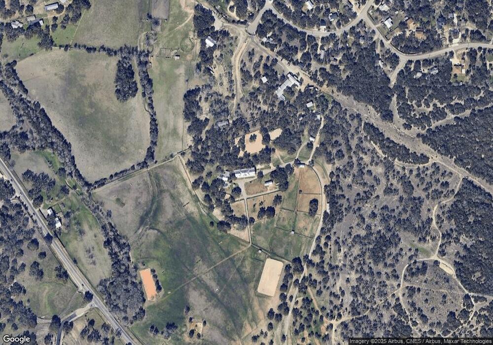
Map
Nearby Homes
- 1453 Quail Hill Dr
- 475 Brand Rd
- 935 Spring Branch Rd
- 1430 Circle Acres
- 2390 Elm Ridge Dr
- 1342 Freshwater Dr
- 831 Lovett Ridge Rd
- 550 Caliche Ct
- 1208 Loranca Dr
- 850 Brand Rd
- 833 Bell Canyon Way
- 840 Earle Oak Ave
- 655 Shepherds Ranch
- 829 Earle Oak Ave
- 1051 Brand Rd
- 845 Bell Canyon Way
- TBC Bell Canyon Way
- 1041 Shepherds Ranch
- 868 Bell Canyon Way
- 875 Shepherds Ranch
- 23494 Highway 46 W
- 23494 Highway 46 W
- 1795 Oak Meadows
- 565 Oak Cir
- 525 Oak Cir
- 560 Oak Cir
- 570 Dove Tree Rd
- 518 Dove Tree Rd
- 546 Oak Cir
- 546 Oak Cir
- 1500 Quail Hill Dr
- 1649 Quail Hill Dr
- 23968 State Highway 46 W
- 1408 Quail Hill Dr
- 650 Dove Tree Rd
- 1650 Quail Hill Dr
- 1375 Quail Hill Dr
- 635 Dove Tree Rd
- 617 Cactus Ct
- 645 Cactus Ct