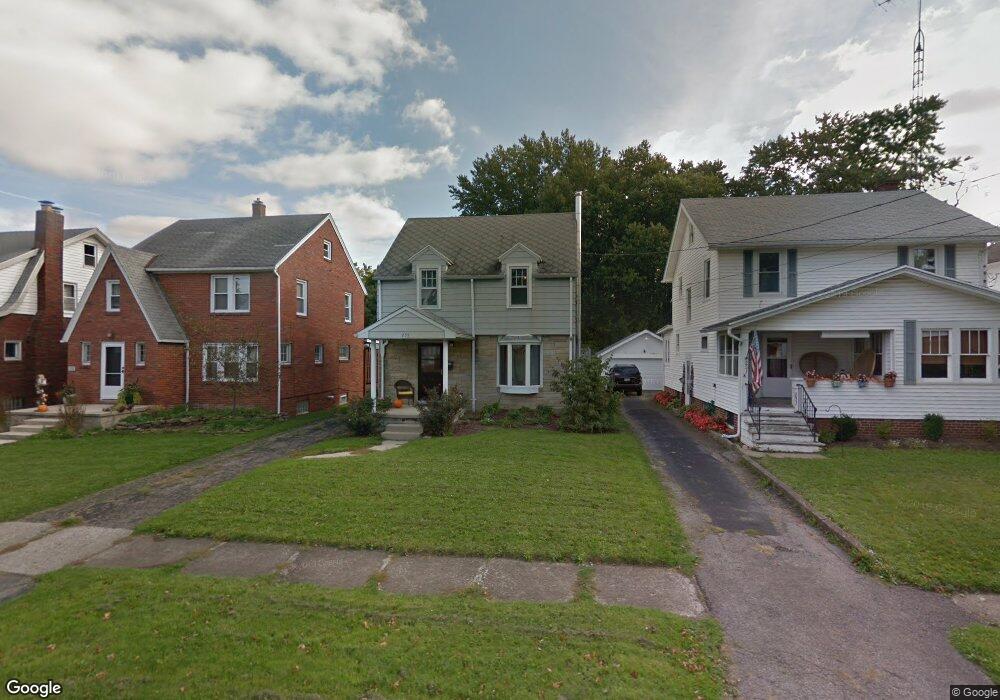
235 Bartley Ave Unit 237 Mansfield, OH 44903
Estimated Value: $119,000 - $171,000
3
Beds
2
Baths
1,560
Sq Ft
$89/Sq Ft
Est. Value
About This Home
This home is located at 235 Bartley Ave Unit 237, Mansfield, OH 44903 and is currently estimated at $139,280, approximately $89 per square foot. 235 Bartley Ave Unit 237 is a home located in Richland County with nearby schools including St. Peter's High School/Junior High, St. Peter's Elementary/Montessori School, and Discovery School.
Ownership History
Date
Name
Owned For
Owner Type
Purchase Details
Closed on
Aug 12, 2020
Sold by
Rice Gigi M and Togliatti Dante A
Bought by
Rod Tog Llc
Current Estimated Value
Purchase Details
Closed on
May 31, 2018
Sold by
Rice Gigi M and Togliatti Dante A
Bought by
Togliatti Annette M and The Albertand Annette Togliatti Trust
Purchase Details
Closed on
Apr 30, 1993
Bought by
Togliatti Albert
Create a Home Valuation Report for This Property
The Home Valuation Report is an in-depth analysis detailing your home's value as well as a comparison with similar homes in the area
Home Values in the Area
Average Home Value in this Area
Purchase History
| Date | Buyer | Sale Price | Title Company |
|---|---|---|---|
| Rod Tog Llc | -- | None Available | |
| Togliatti Annette M | -- | Chicago Title | |
| Togliatti Albert | $35,000 | -- |
Source: Public Records
Tax History Compared to Growth
Tax History
| Year | Tax Paid | Tax Assessment Tax Assessment Total Assessment is a certain percentage of the fair market value that is determined by local assessors to be the total taxable value of land and additions on the property. | Land | Improvement |
|---|---|---|---|---|
| 2024 | $1,118 | $23,350 | $2,640 | $20,710 |
| 2023 | $1,118 | $23,350 | $2,640 | $20,710 |
| 2022 | $895 | $15,670 | $2,140 | $13,530 |
| 2021 | $901 | $15,670 | $2,140 | $13,530 |
| 2020 | $922 | $15,670 | $2,140 | $13,530 |
| 2019 | $1,022 | $15,670 | $2,140 | $13,530 |
| 2018 | $1,008 | $15,670 | $2,140 | $13,530 |
| 2017 | $981 | $15,670 | $2,140 | $13,530 |
| 2016 | $1,568 | $24,280 | $2,850 | $21,430 |
| 2015 | $1,497 | $24,280 | $2,850 | $21,430 |
| 2014 | $1,478 | $24,280 | $2,850 | $21,430 |
| 2012 | $1,440 | $25,560 | $3,000 | $22,560 |
Source: Public Records
Map
Nearby Homes
- 114 Vennum Ave
- 118 Lind Ave
- 257 Wood St
- 126 Dawson Ave
- 119 Carpenter Rd
- 133 Stewart Ave S
- 76 Bartley Ave
- 88 Sherman Ave
- 135 Wood St
- 37 Baldwin Ave
- 538 Broadview Ave
- 71 Glenwood Blvd
- 78 Glenwood Blvd
- 679 Coleman Rd
- 118 Parkwood Blvd
- 353 Sturges Ave
- 131 Sturges Ave
- 24 Stewart Ave S
- 375 Sturges Ave
- 0 Cline Ave Hedeen Abbeyfeale Unit 9066362
- 235 Bartley Ave
- 233 Bartley Ave
- 229 Bartley Ave
- 237 Bartley Ave
- 239 Bartley Ave
- 225 Bartley Ave
- 234 Poplar St
- 251 Bartley Ave
- 244 Poplar St
- 221 Bartley Ave
- 232 Poplar St
- 248 Poplar St
- 236 Bartley Ave
- 226 Poplar St
- 238 Bartley Ave
- 232 Bartley Ave
- 244 Bartley Ave
- 458 Davey Ave
- 213 Bartley Ave
- 222 Poplar St