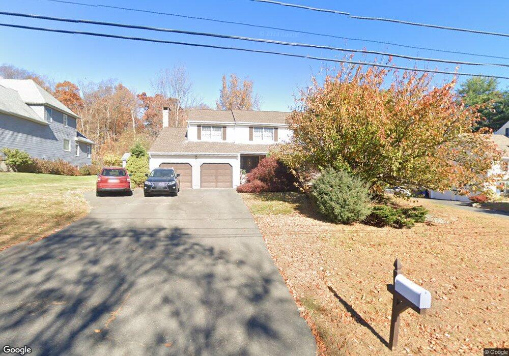
235 Birchwood Dr New Britain, CT 06052
Estimated Value: $402,000 - $451,000
4
Beds
3
Baths
2,348
Sq Ft
$183/Sq Ft
Est. Value
About This Home
This home is located at 235 Birchwood Dr, New Britain, CT 06052 and is currently estimated at $430,735, approximately $183 per square foot. 235 Birchwood Dr is a home located in Hartford County with nearby schools including Lincoln School, Slade Middle School, and Raymond Hill School.
Ownership History
Date
Name
Owned For
Owner Type
Purchase Details
Closed on
Jul 3, 2018
Sold by
Pace Maria L
Bought by
Maria L Pace Children
Current Estimated Value
Purchase Details
Closed on
Jun 5, 2014
Sold by
Pace Maria L
Bought by
Correia Angela and Pace Matteo
Create a Home Valuation Report for This Property
The Home Valuation Report is an in-depth analysis detailing your home's value as well as a comparison with similar homes in the area
Home Values in the Area
Average Home Value in this Area
Purchase History
| Date | Buyer | Sale Price | Title Company |
|---|---|---|---|
| Maria L Pace Children | -- | -- | |
| Correia Angela | -- | -- |
Source: Public Records
Mortgage History
| Date | Status | Borrower | Loan Amount |
|---|---|---|---|
| Previous Owner | Correia Angela | $40,000 | |
| Previous Owner | Correia Angela | $7,000 |
Source: Public Records
Tax History Compared to Growth
Tax History
| Year | Tax Paid | Tax Assessment Tax Assessment Total Assessment is a certain percentage of the fair market value that is determined by local assessors to be the total taxable value of land and additions on the property. | Land | Improvement |
|---|---|---|---|---|
| 2025 | $8,697 | $221,970 | $65,660 | $156,310 |
| 2024 | $8,788 | $221,970 | $65,660 | $156,310 |
| 2023 | $8,497 | $221,970 | $65,660 | $156,310 |
| 2022 | $7,814 | $157,850 | $30,240 | $127,610 |
| 2021 | $7,814 | $157,850 | $30,240 | $127,610 |
| 2020 | $7,971 | $157,850 | $30,240 | $127,610 |
| 2019 | $7,971 | $157,850 | $30,240 | $127,610 |
| 2018 | $7,971 | $157,850 | $30,240 | $127,610 |
| 2017 | $8,650 | $171,290 | $30,800 | $140,490 |
| 2016 | $8,650 | $171,290 | $30,800 | $140,490 |
| 2015 | $8,393 | $171,290 | $30,800 | $140,490 |
| 2014 | $8,393 | $171,290 | $30,800 | $140,490 |
Source: Public Records
Map
Nearby Homes
- 28 Weigands Dr
- 236 Garry Dr
- 145 Reservoir Rd
- 71 Pennsylvania Ave
- 149 Pennsylvania Ave Unit 151
- 78 May St
- 84 May St
- 367 Lincoln St
- 33 Colt St
- 300 Lincoln St
- 212 Lincoln St
- 565 Lincoln St
- 423 Monroe St
- 817 W Main St
- 112 Lincoln St
- 30 Westerly St
- 43 Westerly St
- 66 Lincoln St
- 73 Brooklawn St
- 52 Chatham Rd