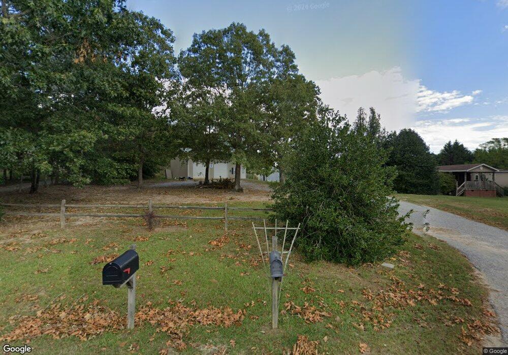
235 Boulder Rock Trail Pauline, SC 29374
Estimated Value: $238,000 - $339,000
3
Beds
2
Baths
1,312
Sq Ft
$213/Sq Ft
Est. Value
About This Home
This home is located at 235 Boulder Rock Trail, Pauline, SC 29374 and is currently estimated at $278,889, approximately $212 per square foot. 235 Boulder Rock Trail is a home located in Spartanburg County with nearby schools including Dorman High School Freshman Campus and Dorman High School.
Ownership History
Date
Name
Owned For
Owner Type
Purchase Details
Closed on
Mar 28, 2012
Sold by
Painter Karen M
Bought by
Painte R Timothy R
Current Estimated Value
Purchase Details
Closed on
Nov 17, 2004
Sold by
Agard Frederick L and Agard Katherine J
Bought by
Painter Karen M
Purchase Details
Closed on
Nov 28, 2001
Sold by
The Home Place Inc
Bought by
Agard Frederick L and Agard Katherine J
Purchase Details
Closed on
May 31, 2001
Sold by
Painter Timothy R
Bought by
The Home Place Inc
Create a Home Valuation Report for This Property
The Home Valuation Report is an in-depth analysis detailing your home's value as well as a comparison with similar homes in the area
Home Values in the Area
Average Home Value in this Area
Purchase History
| Date | Buyer | Sale Price | Title Company |
|---|---|---|---|
| Painte R Timothy R | -- | -- | |
| Painter Karen M | $109,000 | -- | |
| Agard Frederick L | $91,000 | -- | |
| The Home Place Inc | $7,600 | -- |
Source: Public Records
Tax History Compared to Growth
Tax History
| Year | Tax Paid | Tax Assessment Tax Assessment Total Assessment is a certain percentage of the fair market value that is determined by local assessors to be the total taxable value of land and additions on the property. | Land | Improvement |
|---|---|---|---|---|
| 2025 | $553 | $5,433 | $1,052 | $4,381 |
| 2024 | $553 | $5,433 | $1,052 | $4,381 |
| 2023 | $553 | $5,433 | $1,052 | $4,381 |
| 2022 | $474 | $4,724 | $888 | $3,836 |
| 2021 | $474 | $4,724 | $888 | $3,836 |
| 2020 | $461 | $4,724 | $888 | $3,836 |
| 2019 | $461 | $4,724 | $888 | $3,836 |
| 2018 | $461 | $4,724 | $888 | $3,836 |
| 2017 | $365 | $4,108 | $812 | $3,296 |
| 2016 | $365 | $4,108 | $812 | $3,296 |
| 2015 | $360 | $4,108 | $812 | $3,296 |
| 2014 | $345 | $4,108 | $812 | $3,296 |
Source: Public Records
Map
Nearby Homes
- 1801 State Road S-42-90
- 2001 State Road S-42-90
- 319 Gwinn Mill Rd
- 325 Gwinn Mill Rd
- 735 Gwinn Mill Rd
- 2295 Riddle Rd
- 120 Hatchett Rd
- 1141 Old Hills Bridge Rd
- 0 Marshall Tucker Rd
- 149 Davy Crockett Trail
- 660 Hunters Rd
- 160 Blake Garrison Dr
- 725 W River Grove Cir
- 2109 State Road S-42-90
- 0 Glenn Springs Rd Unit 1568706
- 0 Glenn Springs Rd Unit SPN328505
- 0 Glenn Springs Rd Unit 24690865
- 0 Shaw Rd
- 245 Boulder Rock Trail
- 210 Boulder Rock Trail
- 1837 Riddle Rd
- 1736 Riddle Rd
- 1732 Riddle Rd
- 1893 Riddle Rd
- 141 Bishop Rd
- 1015 Blackstock Rd
- 1602 Riddle Rd
- 1602 Riddle Rd
- 1011 Blackstock Rd
- 1021 Blackstock Rd
- 1925 Riddle Rd
- 1106 Blackstock Rd
- 1025 Blackstock Rd
- 902 Blackstock Rd
- 1935 Riddle Rd
- 1537 Riddle Rd
- 1538 Riddle Rd
- 900 Blackstock Rd