235 Camp Creek Rd Toccoa, GA 30577
Estimated Value: $293,000 - $337,000
3
Beds
2
Baths
2,168
Sq Ft
$143/Sq Ft
Est. Value
About This Home
This home is located at 235 Camp Creek Rd, Toccoa, GA 30577 and is currently estimated at $309,786, approximately $142 per square foot. 235 Camp Creek Rd is a home located in Stephens County with nearby schools including Stephens County High School.
Ownership History
Date
Name
Owned For
Owner Type
Purchase Details
Closed on
Jun 1, 2020
Sold by
Camp Mark B
Bought by
Camp Mark B and Riddle Tammy M
Current Estimated Value
Purchase Details
Closed on
Jul 28, 2014
Sold by
Ivester Tracy Lynn
Bought by
Camp Mark Brian
Purchase Details
Closed on
Apr 25, 2014
Sold by
Sec Of Housing & U
Bought by
Bank Of America
Purchase Details
Closed on
Aug 20, 2013
Sold by
Camp Gloria E
Bought by
Camp Mark B
Create a Home Valuation Report for This Property
The Home Valuation Report is an in-depth analysis detailing your home's value as well as a comparison with similar homes in the area
Home Values in the Area
Average Home Value in this Area
Purchase History
| Date | Buyer | Sale Price | Title Company |
|---|---|---|---|
| Camp Mark B | -- | -- | |
| Camp Mark Brian | -- | -- | |
| Bank Of America | -- | -- | |
| Camp Mark B | -- | -- |
Source: Public Records
Tax History Compared to Growth
Tax History
| Year | Tax Paid | Tax Assessment Tax Assessment Total Assessment is a certain percentage of the fair market value that is determined by local assessors to be the total taxable value of land and additions on the property. | Land | Improvement |
|---|---|---|---|---|
| 2024 | $2,125 | $71,772 | $8,014 | $63,758 |
| 2023 | $1,947 | $67,398 | $8,014 | $59,384 |
| 2022 | $1,852 | $64,212 | $8,014 | $56,198 |
| 2021 | $1,690 | $56,053 | $8,014 | $48,039 |
| 2020 | $2,229 | $72,586 | $24,822 | $47,764 |
| 2019 | $2,205 | $71,539 | $23,640 | $47,899 |
| 2018 | $2,205 | $71,539 | $23,640 | $47,899 |
| 2017 | $2,275 | $71,539 | $23,640 | $47,899 |
| 2015 | $1,616 | $50,656 | $7,632 | $43,024 |
| 2014 | $1,643 | $50,656 | $7,632 | $43,024 |
| 2013 | -- | $52,160 | $10,000 | $42,160 |
Source: Public Records
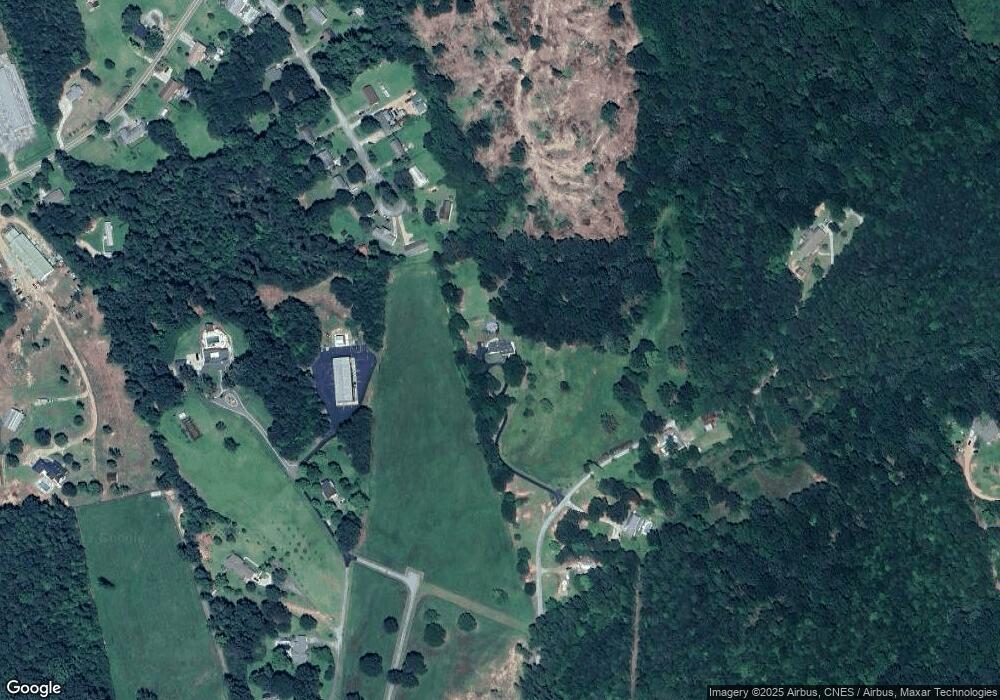
Map
Nearby Homes
- 54 Stonewood Forest Rd
- 151 Rock Creek Rd
- 3089 Georgia 17 Alternate
- 3013 Hwy 17 A
- 0 Brookhaven Cir Unit 10616964
- 919 Deer Chase Rd
- 668 Brookdale Rd
- 5.10 ACRES Hwy 123
- 535 Deer Chase
- 56 Crawford Manor Dr
- 297 Ayers Creek Dr
- 327 Ayers Creek Dr
- 405 Ayers Creek Dr
- 672 Crawford Cir
- 490 Addington Dr
- 110 Valley Rd
- 0 E Currahee St Unit 10544607
- 140 Julia Ct
- 136 Julia Ct
- 189 Julia Ln
- 193 Oak Way Dr
- 189 Oak Way Dr
- 197 Oak Way Dr
- 234 Camp Creek Rd
- 181 Oak Way Dr
- 205 Oak Way Dr
- 314 Camp Creek Rd
- 157 Oak Way Dr
- 0 Oakway Estates Rd
- 182 Camp Creek Rd
- 139 Oak Way Dr
- 140 Oak Way Dr
- 0 Camp Creek Rd
- 389 Hagood Dr
- 122 Oak Way Dr
- 121 Oak Way Dr
- 323 Camp Creek Rd
- 94 Oak Way Dr
- 177 Hagood Dr
- 73 Oak Way Dr