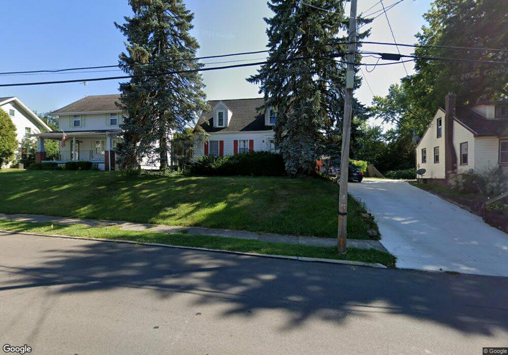
235 Cline Ave Mansfield, OH 44907
Estimated Value: $141,000 - $182,000
4
Beds
2
Baths
2,005
Sq Ft
$78/Sq Ft
Est. Value
About This Home
This home is located at 235 Cline Ave, Mansfield, OH 44907 and is currently estimated at $156,766, approximately $78 per square foot. 235 Cline Ave is a home located in Richland County with nearby schools including St. Peter's Elementary/Montessori School, Discovery School, and St. Peter's Junior High / High School.
Ownership History
Date
Name
Owned For
Owner Type
Purchase Details
Closed on
Aug 16, 2019
Sold by
Forrest Debra J
Bought by
Lewis Randy V
Current Estimated Value
Home Financials for this Owner
Home Financials are based on the most recent Mortgage that was taken out on this home.
Original Mortgage
$48,000
Outstanding Balance
$42,039
Interest Rate
3.7%
Mortgage Type
Purchase Money Mortgage
Estimated Equity
$114,727
Purchase Details
Closed on
Aug 5, 1999
Sold by
Kalish Family Trust
Bought by
Forrest Charles J and Forrest Debra J
Home Financials for this Owner
Home Financials are based on the most recent Mortgage that was taken out on this home.
Original Mortgage
$29,400
Interest Rate
7.68%
Mortgage Type
New Conventional
Create a Home Valuation Report for This Property
The Home Valuation Report is an in-depth analysis detailing your home's value as well as a comparison with similar homes in the area
Home Values in the Area
Average Home Value in this Area
Purchase History
| Date | Buyer | Sale Price | Title Company |
|---|---|---|---|
| Lewis Randy V | $60,000 | Barrister Title Group | |
| Forrest Charles J | $78,900 | -- |
Source: Public Records
Mortgage History
| Date | Status | Borrower | Loan Amount |
|---|---|---|---|
| Open | Lewis Randy V | $48,000 | |
| Previous Owner | Forrest Charles J | $29,400 |
Source: Public Records
Tax History
| Year | Tax Paid | Tax Assessment Tax Assessment Total Assessment is a certain percentage of the fair market value that is determined by local assessors to be the total taxable value of land and additions on the property. | Land | Improvement |
|---|---|---|---|---|
| 2024 | $1,572 | $34,350 | $7,710 | $26,640 |
| 2023 | $1,608 | $34,350 | $7,710 | $26,640 |
| 2022 | $1,439 | $25,760 | $6,730 | $19,030 |
| 2021 | $1,449 | $25,760 | $6,730 | $19,030 |
| 2020 | $1,482 | $25,760 | $6,730 | $19,030 |
| 2019 | $1,692 | $26,540 | $5,700 | $20,840 |
| 2018 | $1,669 | $26,540 | $5,700 | $20,840 |
| 2017 | $1,624 | $26,540 | $5,700 | $20,840 |
| 2016 | $1,506 | $23,870 | $5,420 | $18,450 |
| 2015 | $1,439 | $23,870 | $5,420 | $18,450 |
| 2014 | $1,691 | $28,430 | $5,420 | $23,010 |
| 2012 | $678 | $29,920 | $5,700 | $24,220 |
Source: Public Records
Map
Nearby Homes
- 0 Cline Ave Hedeen Abbeyfeale Unit 9066362
- 507 Townview Cir E
- 310 Townview Cir N
- 530 Wood St
- 219 Lexington Ave
- 27 Dunbilt Ct
- 466 Lexington Ave
- 470 Lexington Ave
- 394 S Main St
- 74 & 78 Lexington Ave
- 183 Carpenter Rd
- 286 S Main St
- 34 W Raleigh Ave
- 575 Crescent Rd
- 135 Wood St
- 172 Crouse St
- 212 S Main St
- 22 Small Ave
- 273 Hammond Ave
- 455 Marion Ave
Your Personal Tour Guide
Ask me questions while you tour the home.