235 E Main St Pilot Rock, OR 97868
Estimated Value: $237,000 - $444,000
4
Beds
2
Baths
1,112
Sq Ft
$260/Sq Ft
Est. Value
About This Home
This home is located at 235 E Main St, Pilot Rock, OR 97868 and is currently estimated at $289,280, approximately $260 per square foot. 235 E Main St is a home with nearby schools including Pilot Rock Elementary School and Pilot Rock High School.
Ownership History
Date
Name
Owned For
Owner Type
Purchase Details
Closed on
Dec 28, 2021
Sold by
Nelson Amanda Michelle
Bought by
Delyria Christopher I
Current Estimated Value
Purchase Details
Closed on
Oct 22, 2021
Sold by
Delyria Christopher L and Estate Of Rolland Bruce Hilde
Bought by
Delyria Christopher I
Purchase Details
Closed on
Feb 3, 2020
Sold by
Sumption Mishelle Kay
Bought by
Hilde Rolland Bruce
Purchase Details
Closed on
Jan 25, 2018
Sold by
Hilde Rolland Bruce
Bought by
Delyria Christopher L and Sumption Mishelle Kay
Purchase Details
Closed on
Dec 1, 2017
Sold by
Hilde Phyllis Anne and Hilde Rolland Bruce
Bought by
Hilde Rolland Bruce
Purchase Details
Closed on
Jun 14, 2005
Sold by
Hilde Rolland B
Bought by
Hilde Rolland B and Hilde Phyllis Anne
Create a Home Valuation Report for This Property
The Home Valuation Report is an in-depth analysis detailing your home's value as well as a comparison with similar homes in the area
Home Values in the Area
Average Home Value in this Area
Purchase History
| Date | Buyer | Sale Price | Title Company |
|---|---|---|---|
| Delyria Christopher I | -- | None Available | |
| Delyria Christopher I | -- | None Available | |
| Hilde Rolland Bruce | -- | None Available | |
| Delyria Christopher L | -- | None Available | |
| Hilde Rolland Bruce | -- | None Available | |
| Hilde Rolland B | -- | None Available |
Source: Public Records
Tax History Compared to Growth
Tax History
| Year | Tax Paid | Tax Assessment Tax Assessment Total Assessment is a certain percentage of the fair market value that is determined by local assessors to be the total taxable value of land and additions on the property. | Land | Improvement |
|---|---|---|---|---|
| 2024 | $1,918 | $111,110 | $19,560 | $91,550 |
| 2023 | $1,879 | $107,880 | $18,990 | $88,890 |
| 2022 | $1,785 | $104,740 | $0 | $0 |
| 2021 | $1,790 | $101,690 | $17,900 | $83,790 |
| 2020 | $1,180 | $98,730 | $17,370 | $81,360 |
| 2018 | $1,491 | $93,070 | $16,370 | $76,700 |
| 2017 | $1,496 | $90,360 | $15,890 | $74,470 |
| 2016 | $1,456 | $87,730 | $15,430 | $72,300 |
| 2015 | $1,431 | $80,300 | $14,120 | $66,180 |
| 2014 | $1,385 | $80,300 | $14,120 | $66,180 |
Source: Public Records
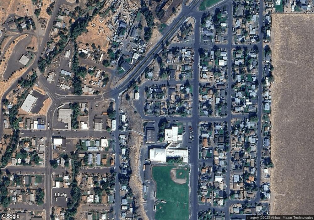
Map
Nearby Homes
- 261 SW 2nd St
- 520 NE 4th St
- 706 NE Gumwood St
- 44743 McKay Creek Rd
- 70349 Lakeside Rd
- 63615 E Birch Creek Ed
- 000 Motanic Rd
- 0000 County 1031 Rd
- 71539 SW Bridle Dr
- 72062 Westfield Blvd
- 904 SW 43rd St
- 4207 SW Sheridan Ave
- 0 Mckay Dr
- 1437 SW 40th St
- 1901 SW Runnion Ln
- 1437 SW 37th St Unit 43
- 1914 SW 2nd Dr
- 1328 SW 44th St
- 0 SW 2nd St Unit 263926795
- 0 SW Quinney Ln Unit 24414661
- 253 W Main St
- 227 W Main St
- 265 W Main St
- 244 W Main St
- 262 W Main St
- 190 NW Delwood St
- 181 NW Birch St
- 194 NW Delwood St
- 168 NW Birch St
- 165 SW Birch St
- 188 W Main St
- 221 SW 2nd St
- 134 SW Delwood St
- 237 SW 2nd St
- 168 N West 2nd St
- 249 SW 2nd St
- 180 SW Birch St
- 183 SW 2nd St
- 173 SW 2nd St
- 189 N West 2nd St