235 E Shore Lake Owassa Rd Newton, NJ 07860
Estimated Value: $288,979 - $434,000
--
Bed
--
Bath
676
Sq Ft
$543/Sq Ft
Est. Value
About This Home
This home is located at 235 E Shore Lake Owassa Rd, Newton, NJ 07860 and is currently estimated at $366,745, approximately $542 per square foot. 235 E Shore Lake Owassa Rd is a home located in Sussex County with nearby schools including Frankford Township School and High Point Regional High School.
Ownership History
Date
Name
Owned For
Owner Type
Purchase Details
Closed on
Feb 18, 2009
Sold by
Ferris Robert K
Bought by
Ferris Robert W and Ferris Jay P
Current Estimated Value
Purchase Details
Closed on
Nov 8, 1999
Sold by
Ferris Elsa W and Ferris Archibald J
Bought by
Ferris Elsa W
Purchase Details
Closed on
Oct 27, 1994
Sold by
Ferris Archibald J and Ferris Elsa W
Bought by
Ferris Archibald J and Ferris Elsa W
Create a Home Valuation Report for This Property
The Home Valuation Report is an in-depth analysis detailing your home's value as well as a comparison with similar homes in the area
Home Values in the Area
Average Home Value in this Area
Purchase History
| Date | Buyer | Sale Price | Title Company |
|---|---|---|---|
| Ferris Robert W | -- | None Available | |
| Ferris Elsa W | -- | -- | |
| Ferris Archibald J | -- | -- |
Source: Public Records
Tax History Compared to Growth
Tax History
| Year | Tax Paid | Tax Assessment Tax Assessment Total Assessment is a certain percentage of the fair market value that is determined by local assessors to be the total taxable value of land and additions on the property. | Land | Improvement |
|---|---|---|---|---|
| 2025 | $5,704 | $191,800 | $162,200 | $29,600 |
| 2024 | $5,533 | $191,800 | $162,200 | $29,600 |
| 2023 | $5,533 | $191,800 | $162,200 | $29,600 |
| 2022 | $5,399 | $191,800 | $162,200 | $29,600 |
| 2021 | $5,236 | $191,800 | $162,200 | $29,600 |
| 2020 | $5,087 | $191,800 | $162,200 | $29,600 |
| 2019 | $4,943 | $191,800 | $162,200 | $29,600 |
| 2018 | $4,897 | $191,800 | $162,200 | $29,600 |
| 2017 | $4,879 | $191,800 | $162,200 | $29,600 |
| 2016 | $4,941 | $191,800 | $162,200 | $29,600 |
| 2015 | $4,916 | $191,800 | $162,200 | $29,600 |
| 2014 | $5,029 | $191,800 | $162,200 | $29,600 |
Source: Public Records
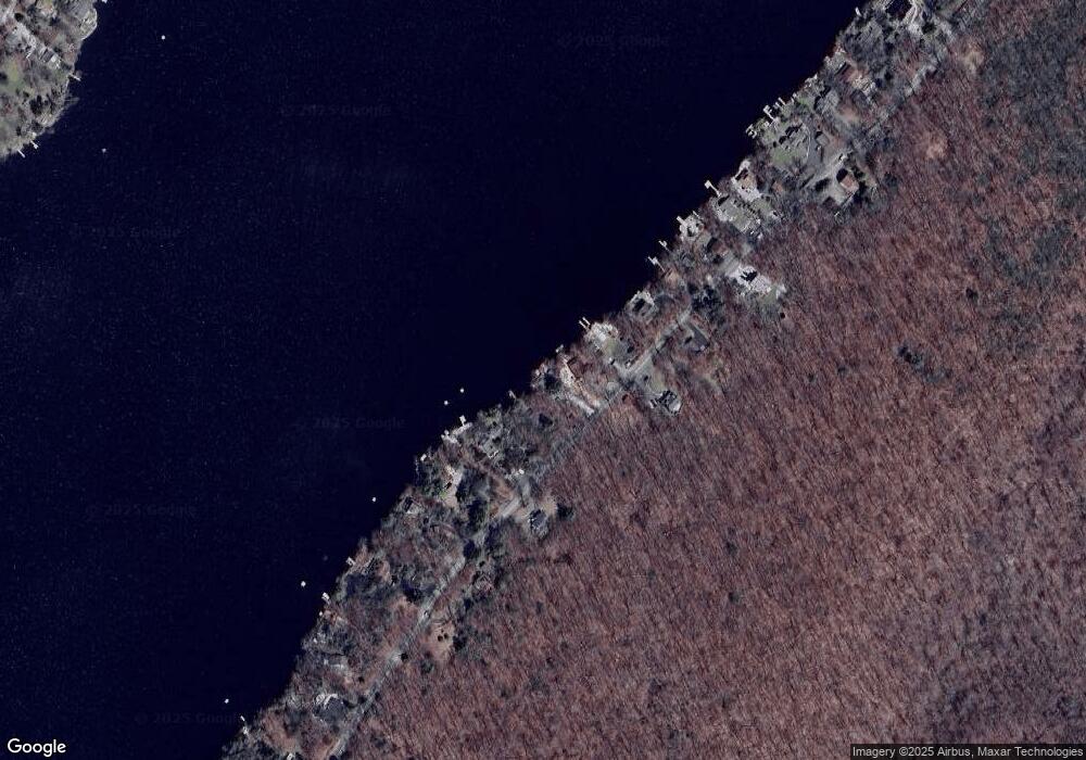
Map
Nearby Homes
- 40 Martin Ln
- 17 17 West Owassa Tnpk
- 196 W Owassa Turnpike
- 26 Mill Ln
- 25 E Shore Lake Owassa Rd
- 19 E Shore Lake Owassa Rd
- 1 South Trail
- 121 W Shore Dr
- 90 Kemah Mecca Lake Rd
- 9 Maple Ln
- 68 W Shore Dr
- 221 Fairview Ave
- 4 Woodlawn Ave
- 39 Stehr St
- 1 Lakeview Point Ave
- 57 E Shore Trail
- 6 Woodlawn Ave
- 17 Eastbrook Ln
- 15 Forest St
- 10 Lakewood Trail
- 233 E Shore Lake Owassa Rd
- 237 E Shore Lake Owassa Rd
- 231 E Shore Lake Owassa Rd
- 239 E Shore Lake Owassa Rd
- 234 E Shore Lake Owassa Rd
- 236 E Shore Lake Owassa Rd
- 241 E Shore Lake Owassa Rd
- 232 E Shore Lake Owassa Rd
- 243 E Shore Lake Owassa Rd
- 230 E Shore Lake Owassa Rd
- 229 E Shore Lake Owassa Rd
- 238 E Shore Lake Owassa Rd
- 228 E Shore Lake Owassa Rd
- 245 E Shore Lake Owassa Rd
- 227 E Shore Lake Owassa Rd
- 225 E Shore Lake Owassa Rd
- 248 E Shore Lake Owassa Rd
- 247 E Shore Lake Owassa Rd
- 223 E Shore Lake Owassa Rd
- 249 E Shore Lake Owassa Rd