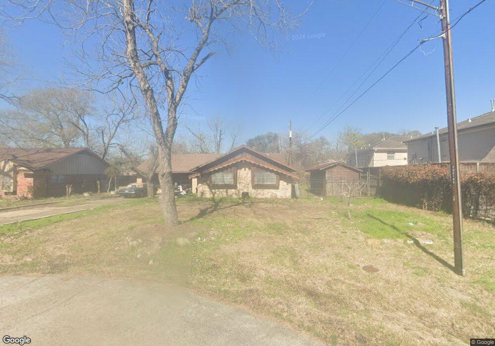
235 E Thornton Rd Houston, TX 77022
Independence Heights NeighborhoodEstimated Value: $288,097 - $332,000
3
Beds
2
Baths
1,560
Sq Ft
$201/Sq Ft
Est. Value
About This Home
This home is located at 235 E Thornton Rd, Houston, TX 77022 and is currently estimated at $314,024, approximately $201 per square foot. 235 E Thornton Rd is a home located in Harris County with nearby schools including Kennedy Elementary School, Williams Middle, and Booker T Washington Sr High.
Ownership History
Date
Name
Owned For
Owner Type
Purchase Details
Closed on
Jul 18, 2013
Sold by
Brisco Ermazelle
Bought by
Brisco Rodney E
Current Estimated Value
Purchase Details
Closed on
Feb 2, 2012
Sold by
Callies Bennie
Bought by
Brisco Ermazelle M
Home Financials for this Owner
Home Financials are based on the most recent Mortgage that was taken out on this home.
Original Mortgage
$13,000
Outstanding Balance
$8,923
Interest Rate
3.93%
Mortgage Type
Seller Take Back
Estimated Equity
$305,101
Create a Home Valuation Report for This Property
The Home Valuation Report is an in-depth analysis detailing your home's value as well as a comparison with similar homes in the area
Home Values in the Area
Average Home Value in this Area
Purchase History
| Date | Buyer | Sale Price | Title Company |
|---|---|---|---|
| Brisco Rodney E | -- | None Available | |
| Brisco Ermazelle M | -- | None Available |
Source: Public Records
Mortgage History
| Date | Status | Borrower | Loan Amount |
|---|---|---|---|
| Open | Brisco Ermazelle M | $13,000 |
Source: Public Records
Tax History Compared to Growth
Tax History
| Year | Tax Paid | Tax Assessment Tax Assessment Total Assessment is a certain percentage of the fair market value that is determined by local assessors to be the total taxable value of land and additions on the property. | Land | Improvement |
|---|---|---|---|---|
| 2025 | $669 | $272,708 | $170,775 | $101,933 |
| 2024 | $669 | $278,615 | $170,775 | $107,840 |
| 2023 | $669 | $245,301 | $136,620 | $108,681 |
| 2022 | $4,224 | $228,743 | $136,620 | $92,123 |
| 2021 | $4,064 | $214,320 | $136,620 | $77,700 |
| 2020 | $3,839 | $170,506 | $68,310 | $102,196 |
| 2019 | $3,647 | $168,268 | $68,310 | $99,958 |
| 2018 | $2,364 | $132,905 | $39,848 | $93,057 |
| 2017 | $3,012 | $132,905 | $39,848 | $93,057 |
| 2016 | $2,738 | $129,801 | $28,463 | $101,338 |
| 2015 | $1,670 | $105,189 | $28,463 | $76,726 |
| 2014 | $1,670 | $89,484 | $28,463 | $61,021 |
Source: Public Records
Map
Nearby Homes
- 0 Victoria Unit 54691087
- 147 Knightsbridge Park Ln
- 310 Walthall Dr
- 144 Knightsbridge Park Ln
- 312 Walthall Dr
- 303 Victoria Dr
- 315 E Whitney St
- 115 E Thornton Rd
- 330 Spell St
- 225 Noras Ln Unit E
- 107 W Whitney St Unit E
- 107 W Whitney St Unit C
- 4423 Yale St
- 4510 Old Yale St Unit A
- 8901 N Main St
- 219 E Janisch Rd
- 4605 Yale St Unit C
- 4605 Yale St Unit A
- 4605 Yale St Unit J
- 4435 Whitney Oak Ln