235 Freeman Rd Barnesville, GA 30204
Estimated Value: $251,000 - $268,000
3
Beds
2
Baths
2,239
Sq Ft
$116/Sq Ft
Est. Value
About This Home
This home is located at 235 Freeman Rd, Barnesville, GA 30204 and is currently estimated at $260,673, approximately $116 per square foot. 235 Freeman Rd is a home located in Lamar County with nearby schools including Lamar County Primary School, Lamar County Elementary School, and Lamar County Middle School.
Ownership History
Date
Name
Owned For
Owner Type
Purchase Details
Closed on
Jun 3, 2021
Sold by
Fuller Lawrence B Joe
Bought by
Fuller Jason D
Current Estimated Value
Purchase Details
Closed on
May 29, 2020
Sold by
Executor Fuller Carol W
Bought by
Fuller Lawrence B Joe
Purchase Details
Closed on
Feb 1, 1989
Sold by
Barron George
Bought by
Fuller Lawrence B
Create a Home Valuation Report for This Property
The Home Valuation Report is an in-depth analysis detailing your home's value as well as a comparison with similar homes in the area
Purchase History
| Date | Buyer | Sale Price | Title Company |
|---|---|---|---|
| Fuller Jason D | -- | -- | |
| Fuller Lawrence B Joe | -- | -- | |
| Fuller Lawrence B | $27,500 | -- |
Source: Public Records
Tax History
| Year | Tax Paid | Tax Assessment Tax Assessment Total Assessment is a certain percentage of the fair market value that is determined by local assessors to be the total taxable value of land and additions on the property. | Land | Improvement |
|---|---|---|---|---|
| 2025 | $1,962 | $80,886 | $15,810 | $65,076 |
| 2024 | $1,388 | $54,222 | $15,810 | $38,412 |
| 2023 | $1,516 | $54,920 | $15,810 | $39,110 |
| 2022 | $1,236 | $44,785 | $9,774 | $35,011 |
| 2021 | $1,059 | $35,239 | $7,620 | $27,619 |
| 2020 | $1,069 | $33,761 | $7,620 | $26,141 |
| 2019 | $1,012 | $31,879 | $7,620 | $24,259 |
| 2018 | $971 | $31,879 | $7,620 | $24,259 |
| 2017 | $966 | $31,879 | $7,620 | $24,259 |
| 2016 | $966 | $31,879 | $7,620 | $24,259 |
| 2015 | $1,072 | $35,392 | $7,620 | $27,771 |
| 2014 | $1,039 | $35,392 | $7,620 | $27,771 |
| 2013 | -- | $35,391 | $7,620 | $27,771 |
Source: Public Records
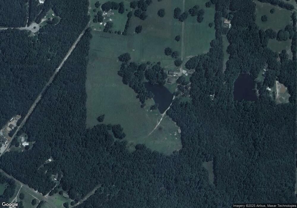
Map
Nearby Homes
- 216 Ponderosa Ln
- 249 Ponderosa Ln
- 1207 Highway 36 W
- 395 Country Kitchen Rd
- 146 Berry Rd Unit LOT 12B
- 148 Berry Rd Unit LOT 12A
- 144 Berry Rd Unit LOT 13
- 150 Berry Rd
- 330 Country Kitchen Rd
- 818 Cannafax Rd
- 1505 Willis Rd
- 0 Perkins Rd Unit 253616
- 0 Perkins Rd Unit 10699928
- 0 Perkins Rd Unit 10625263
- 0 Perkins Rd Unit 7692755
- 1972 Rest Haven Rd
- 111 Needleleaf Ct
- 2222 Barnesville Hwy
- 255 Needleleaf Dr
- 250 Perdue Rd
- 235 Freeman Rd
- 235 Freeman Rd
- 235 Freeman Rd
- 235 Freeman Rd
- 235 Freeman Rd
- 235 Freeman Rd
- 235 Freeman Rd
- 235 Freeman Rd
- 235 Freeman Rd
- 235 Freeman Rd
- 241 Freeman Rd
- 241 Freeman Rd
- 197 Freeman Rd
- 263 Freeman Rd
- 169 Shady Brook Ln
- 246 Freeman Rd
- 246 Freeman Rd
- 220 Freeman Rd
- 287 Freeman Rd
- 214 Freeman Rd
Your Personal Tour Guide
Ask me questions while you tour the home.