235 Kent Rd Warren, CT 06754
Estimated Value: $564,000 - $774,923
4
Beds
3
Baths
3,528
Sq Ft
$182/Sq Ft
Est. Value
About This Home
This home is located at 235 Kent Rd, Warren, CT 06754 and is currently estimated at $642,974, approximately $182 per square foot. 235 Kent Rd is a home located in Litchfield County with nearby schools including Cornwall Consolidated School and Housatonic Valley Regional High School.
Ownership History
Date
Name
Owned For
Owner Type
Purchase Details
Closed on
May 23, 2018
Sold by
Fnma
Bought by
An Millworkers Inc
Current Estimated Value
Purchase Details
Closed on
Nov 20, 2017
Sold by
Ditech Financial Llc
Bought by
Federal National Mortgage Association
Purchase Details
Closed on
Oct 31, 2017
Sold by
Potter Laurie
Bought by
Ditech Financial Llc
Create a Home Valuation Report for This Property
The Home Valuation Report is an in-depth analysis detailing your home's value as well as a comparison with similar homes in the area
Home Values in the Area
Average Home Value in this Area
Purchase History
| Date | Buyer | Sale Price | Title Company |
|---|---|---|---|
| An Millworkers Inc | $100,500 | -- | |
| Federal National Mortgage Association | -- | -- | |
| Ditech Financial Llc | -- | -- | |
| An Millworkers Inc | $100,500 | -- | |
| Federal National Mortgage Association | -- | -- | |
| Ditech Financial Llc | -- | -- |
Source: Public Records
Mortgage History
| Date | Status | Borrower | Loan Amount |
|---|---|---|---|
| Previous Owner | Ditech Financial Llc | $211,000 | |
| Previous Owner | Ditech Financial Llc | $47,969 |
Source: Public Records
Tax History
| Year | Tax Paid | Tax Assessment Tax Assessment Total Assessment is a certain percentage of the fair market value that is determined by local assessors to be the total taxable value of land and additions on the property. | Land | Improvement |
|---|---|---|---|---|
| 2025 | $3,740 | $293,300 | $97,790 | $195,510 |
| 2024 | $2,962 | $232,330 | $97,790 | $134,540 |
| 2023 | $3,055 | $232,330 | $97,790 | $134,540 |
| 2022 | $2,856 | $201,860 | $93,900 | $107,960 |
| 2021 | $2,856 | $201,860 | $93,900 | $107,960 |
| 2020 | $2,877 | $201,860 | $93,900 | $107,960 |
| 2019 | $2,877 | $201,860 | $93,900 | $107,960 |
| 2018 | $2,877 | $201,860 | $93,900 | $107,960 |
| 2017 | $3,165 | $218,300 | $87,890 | $130,410 |
| 2016 | $3,133 | $218,300 | $87,890 | $130,410 |
| 2015 | $3,100 | $218,300 | $87,890 | $130,410 |
| 2014 | $3,100 | $218,300 | $87,890 | $130,410 |
Source: Public Records
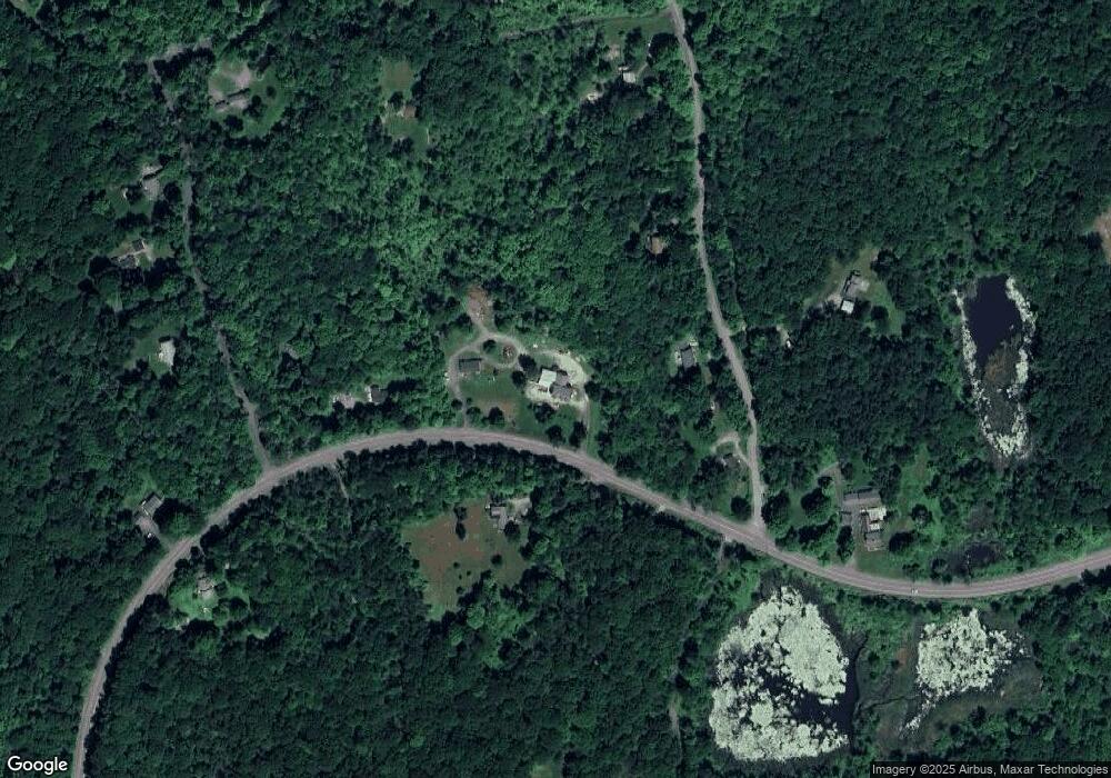
Map
Nearby Homes
- 70 Kent Rd S
- 143 Whitcomb Hill Rd
- 11 Day Rd
- 11 Old Paddock Ln
- 0 Stonewall Unit 39
- 0 Mount Mauwee Rd
- 0 W Woods Rd Unit 2
- 1 W Woods Rd
- 23 Mauwee Brook Rd
- 0 Gorham Rd Unit 24138133
- 102 Melius Rd
- 34 Kent Rd
- 308 Skiff Mountain Rd
- 221 Fuller Mountain Rd
- 0 Lake Rd
- 3 W Mountain Rd
- 9 Jewell St
- 00 Above All Rd
- 25 Bowne Rd
- 00 Upper Kent Hollow Rd
- 235 Kent Rd
- 237 Kent Rd S
- 235 Kent Rd S
- 0 Whitcomb Hill Rd
- 229 Kent Rd
- 51 Whitcomb Hill Rd
- 32 Whitcomb Hill Rd
- 261 Kent Rd
- 63 Whitcomb Hill Rd
- 184B2 Kent Rd
- 250 Kent Rd S
- 270 Kent Rd S
- 0 Kent Rd S Unit 170446052
- A02 Kent Rd S
- 0 Kent Rd S
- 64 Whitcomb Hill Rd
- 56 Whitcomb Hill Rd
- 22 Mansonville Rd
- 34 Mansonville Rd
- 79 Whitcomb Hill Rd
Your Personal Tour Guide
Ask me questions while you tour the home.