235 Misty Mountain Trail Rock Spring, GA 30739
Rock Spring NeighborhoodEstimated Value: $450,000 - $519,000
--
Bed
--
Bath
2,074
Sq Ft
$237/Sq Ft
Est. Value
About This Home
This home is located at 235 Misty Mountain Trail, Rock Spring, GA 30739 and is currently estimated at $490,513, approximately $236 per square foot. 235 Misty Mountain Trail is a home with nearby schools including Rock Spring Elementary School, Lafayette High School, and Alice M Daley Adventist School.
Ownership History
Date
Name
Owned For
Owner Type
Purchase Details
Closed on
Aug 15, 2017
Sold by
Currie David
Bought by
Davis Tommy R and Davis Rhonda D
Current Estimated Value
Home Financials for this Owner
Home Financials are based on the most recent Mortgage that was taken out on this home.
Original Mortgage
$58,500
Interest Rate
3.96%
Mortgage Type
New Conventional
Purchase Details
Closed on
Aug 31, 2003
Sold by
Cordell Richard F and Cordell Donna M
Bought by
Currie David and Currie Lucie
Purchase Details
Closed on
Jan 24, 1996
Bought by
Cordell Richard F and Cordell Donna M
Create a Home Valuation Report for This Property
The Home Valuation Report is an in-depth analysis detailing your home's value as well as a comparison with similar homes in the area
Home Values in the Area
Average Home Value in this Area
Purchase History
| Date | Buyer | Sale Price | Title Company |
|---|---|---|---|
| Davis Tommy R | $65,000 | -- | |
| Currie David | $56,200 | -- | |
| Cordell Richard F | -- | -- |
Source: Public Records
Mortgage History
| Date | Status | Borrower | Loan Amount |
|---|---|---|---|
| Closed | Davis Tommy R | $58,500 |
Source: Public Records
Tax History Compared to Growth
Tax History
| Year | Tax Paid | Tax Assessment Tax Assessment Total Assessment is a certain percentage of the fair market value that is determined by local assessors to be the total taxable value of land and additions on the property. | Land | Improvement |
|---|---|---|---|---|
| 2024 | $3,800 | $172,842 | $23,788 | $149,054 |
| 2023 | $3,614 | $160,449 | $18,879 | $141,570 |
| 2022 | $555 | $23,902 | $23,902 | $0 |
| 2021 | $615 | $23,902 | $23,902 | $0 |
| 2020 | $638 | $23,902 | $23,902 | $0 |
| 2019 | $651 | $23,902 | $23,902 | $0 |
| 2018 | $632 | $23,902 | $23,902 | $0 |
| 2017 | $716 | $23,902 | $23,902 | $0 |
| 2016 | $585 | $23,902 | $23,902 | $0 |
| 2015 | $721 | $27,688 | $27,688 | $0 |
| 2014 | $699 | $27,688 | $27,688 | $0 |
| 2013 | -- | $27,688 | $27,688 | $0 |
Source: Public Records
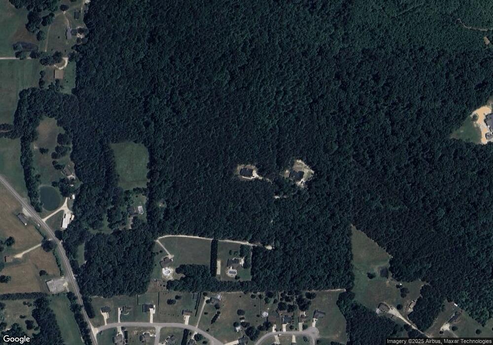
Map
Nearby Homes
- 533 Van Dell Dr
- 201 Van Dell Dr
- 0 Colbert Hollow Rd Unit 1513202
- 1052 Huffman Rd
- 0 Clyde Byrd Rd
- 265 Rodeo Dr
- 58 Willow Cir
- 287 E Teems Rd
- 1585 E Reed Rd
- 3255 Colbert Hollow Rd
- 121 Stock Dog Ln
- 7606 Highway 95
- 0 Temperance Hall Rd Unit 10506446
- 0 Temperance Hall Rd Unit 1510568
- 450 Arnold Ln
- 76 Side Kick Ln
- 1186 E Reed Rd
- 134 Farm View Cir
- 1934 Round Pond Rd
- 1282 Temperance Hall Rd
- 265 Misty Mountain Trail
- 138 Misty Mountain Trail
- 138 Misty Mountain Trail Unit TR
- 230 Misty Mountain Trail
- 129 Oak Meadow Dr
- 129 Oak Meadow Dr Unit 6
- 5173 Georgia 95
- 5173 Highway 95
- 117 Oak Meadow Dr Unit 5
- 117 Oak Meadow Dr
- 117 Oak Meadow Dr Unit LOT 5
- 71 Oak Meadow Dr
- 135 Maple Leaf Dr
- 39 Oak Meadow Dr
- 29 Oak Meadow Dr
- 30 Oak Meadow Dr
- 17 Oak Meadow Dr
- 18 Oak Meadow Dr
- 1 Oak Meadow Dr
- 178 Oak Meadow Dr