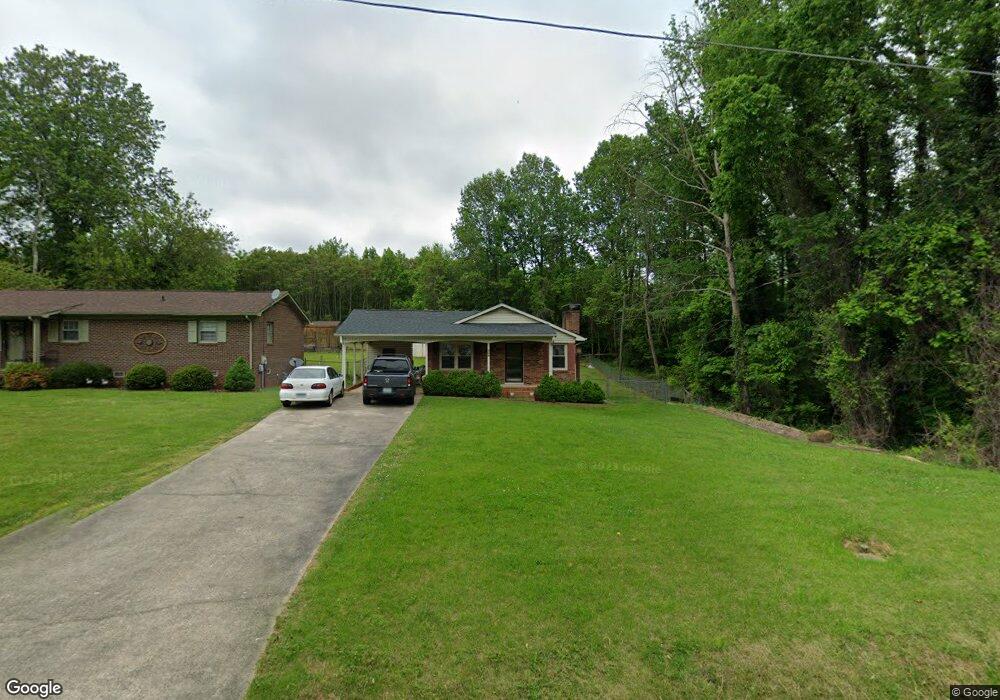
235 Model Farm Rd High Point, NC 27263
Greater High Point NeighborhoodEstimated Value: $182,054 - $206,000
3
Beds
2
Baths
1,232
Sq Ft
$158/Sq Ft
Est. Value
About This Home
This home is located at 235 Model Farm Rd, High Point, NC 27263 and is currently estimated at $194,264, approximately $157 per square foot. 235 Model Farm Rd is a home located in Guilford County with nearby schools including Allen Jay Elementary School, Southern Guilford Middle, and Southern Guilford High School.
Ownership History
Date
Name
Owned For
Owner Type
Purchase Details
Closed on
Jun 2, 2024
Sold by
Nguyen Thuy Kieu
Bought by
Luu Van Ngoan
Current Estimated Value
Purchase Details
Closed on
Nov 8, 2021
Sold by
Le My Phu and Le Linh Thi
Bought by
Luu Van Ngoan and Nguyen Thuy
Home Financials for this Owner
Home Financials are based on the most recent Mortgage that was taken out on this home.
Original Mortgage
$98,800
Interest Rate
2.33%
Mortgage Type
New Conventional
Purchase Details
Closed on
Jun 5, 2002
Sold by
Mallory Michael and Mallory Linda
Bought by
Le My Phu and Le Linh Thi
Home Financials for this Owner
Home Financials are based on the most recent Mortgage that was taken out on this home.
Original Mortgage
$35,525
Interest Rate
6.85%
Mortgage Type
FHA
Create a Home Valuation Report for This Property
The Home Valuation Report is an in-depth analysis detailing your home's value as well as a comparison with similar homes in the area
Home Values in the Area
Average Home Value in this Area
Purchase History
| Date | Buyer | Sale Price | Title Company |
|---|---|---|---|
| Luu Van Ngoan | -- | None Listed On Document | |
| Luu Van Ngoan | -- | None Listed On Document | |
| Luu Van Ngoan | $132,500 | None Available | |
| Le My Phu | $85,000 | -- |
Source: Public Records
Mortgage History
| Date | Status | Borrower | Loan Amount |
|---|---|---|---|
| Previous Owner | Luu Van Ngoan | $98,800 | |
| Previous Owner | Le My Phu | $35,525 |
Source: Public Records
Tax History
| Year | Tax Paid | Tax Assessment Tax Assessment Total Assessment is a certain percentage of the fair market value that is determined by local assessors to be the total taxable value of land and additions on the property. | Land | Improvement |
|---|---|---|---|---|
| 2025 | $1,630 | $118,300 | $20,000 | $98,300 |
| 2024 | $1,630 | $118,300 | $20,000 | $98,300 |
| 2023 | $1,630 | $118,300 | $20,000 | $98,300 |
| 2022 | $1,595 | $118,300 | $20,000 | $98,300 |
| 2021 | $1,294 | $93,900 | $14,000 | $79,900 |
| 2020 | $1,294 | $93,900 | $14,000 | $79,900 |
| 2019 | $1,294 | $93,900 | $0 | $0 |
| 2018 | $1,287 | $93,900 | $0 | $0 |
| 2017 | $1,294 | $93,900 | $0 | $0 |
| 2016 | $1,379 | $98,300 | $0 | $0 |
| 2015 | $1,386 | $98,300 | $0 | $0 |
| 2014 | $1,410 | $98,300 | $0 | $0 |
Source: Public Records
Map
Nearby Homes
- 312 Model Farm Rd
- 206 Model Farm Rd
- 206 E Moore Ave
- 607 Martha Place
- 609 Martha Place
- 335 Nathan Hunt Dr
- 1422 Valley Ridge Dr
- 4304 Griffins Gate Ln
- 1114 Richland St
- 715 Baker Rd
- 1504 Cloverdale St
- 1012 Jefferson St
- 1410 Cloverdale St
- 1010 Grace St
- 1021 Asheboro St
- 925 Randolph St
- 323 Coltrane Ave
- 600 E Fairfield Rd
- 909 Randolph St
- 1217 Cloverdale St
- 233 Model Farm Rd
- 229 Model Farm Rd
- 2009 Francis St
- 2100 Francis St
- 227 Model Farm Rd
- 2102 Francis St
- 228 Model Farm Rd
- 225 Model Farm Rd
- 2101 Francis St
- 226 Model Farm Rd
- 2103 Francis St
- 2104 Francis St
- 223 Model Farm Rd
- 2105 Francis St
- 225 Jay Place
- 222 Model Farm Rd
- 2106 Francis St
- 2107 Francis St
- 306 Model Farm Rd
- 220 Model Farm Rd
Your Personal Tour Guide
Ask me questions while you tour the home.