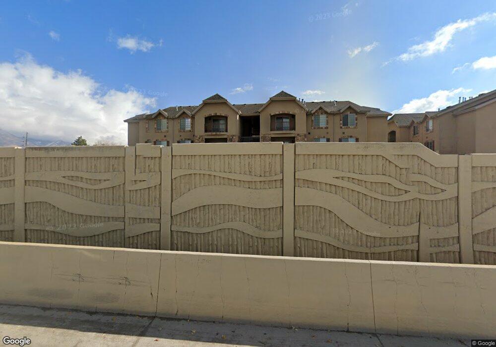
235 N 1200 W Orem, UT 84057
Suncrest NeighborhoodEstimated Value: $324,864 - $351,000
3
Beds
2
Baths
1,343
Sq Ft
$250/Sq Ft
Est. Value
About This Home
This home is located at 235 N 1200 W, Orem, UT 84057 and is currently estimated at $335,288, approximately $249 per square foot. 235 N 1200 W is a home located in Utah County with nearby schools including Orem Junior High School, Mountain View High School, and Franklin Discovery Academy.
Ownership History
Date
Name
Owned For
Owner Type
Purchase Details
Closed on
Dec 24, 2025
Sold by
E & H Land Llp
Bought by
Pcdc/Mlevans Family Revocable Trust and Evans
Current Estimated Value
Purchase Details
Closed on
Aug 26, 2021
Sold by
E & H Land Ltd
Bought by
E & H Land Llp
Purchase Details
Closed on
Jan 31, 2008
Sold by
Williamson Rentals Lc
Bought by
E & H Land Ltd
Create a Home Valuation Report for This Property
The Home Valuation Report is an in-depth analysis detailing your home's value as well as a comparison with similar homes in the area
Home Values in the Area
Average Home Value in this Area
Purchase History
| Date | Buyer | Sale Price | Title Company |
|---|---|---|---|
| Pcdc/Mlevans Family Revocable Trust | -- | Us Title | |
| E & H Land Llp | -- | None Available | |
| E & H Land Ltd | -- | Backman |
Source: Public Records
Tax History
| Year | Tax Paid | Tax Assessment Tax Assessment Total Assessment is a certain percentage of the fair market value that is determined by local assessors to be the total taxable value of land and additions on the property. | Land | Improvement |
|---|---|---|---|---|
| 2025 | $1,349 | $168,355 | -- | -- |
| 2024 | $1,349 | $164,945 | $0 | $0 |
| 2023 | $1,286 | $168,960 | $0 | $0 |
| 2022 | $1,219 | $155,265 | $0 | $0 |
| 2021 | $1,148 | $221,400 | $26,600 | $194,800 |
| 2020 | $1,043 | $197,600 | $23,700 | $173,900 |
| 2019 | $964 | $190,000 | $23,000 | $167,000 |
| 2018 | $962 | $181,100 | $23,000 | $158,100 |
| 2017 | $899 | $90,695 | $0 | $0 |
| 2016 | $938 | $87,230 | $0 | $0 |
| 2015 | $953 | $83,875 | $0 | $0 |
| 2014 | $958 | $83,875 | $0 | $0 |
Source: Public Records
Map
Nearby Homes
- 1225 W 160 N
- 222 N 1200 W Unit 144
- 222 N 1200 W Unit 84
- 1110 W 105 N
- 277 N 1030 W
- 375 N 1030 W
- 1094 W 465 N
- 1004 W 400 N
- 1058 W 570 St N
- 155 S 1200 W Unit 69
- 155 S 1200 W Unit 6
- 155 S 1200 W Unit 97
- 896 W 30 S
- 280 N 750 E
- 206 N 750 E
- 875 W 530 N
- 266 N 725 E
- 740 E 125 N
- 954 W 630 N Unit 34,
- 803 W 530 N
- 235 N 1200 W
- 235 N 1200 W
- 235 N 1200 W
- 235 N 1200 W
- 235 N 1200 W
- 235 N 1200 W
- 235 N 1200 W
- 235 N 1200 W
- 235 N 1200 W
- 235 N 1200 W
- 235 N 1200 W
- 235 N 1200 W Unit Newport 301
- 235 N 1200 W Unit 303
- 235 N 1200 W Unit Newport
- 221 N 1200 W Unit 301
- 221 N 1200 W Unit 202
- 221 N 1200 W Unit 201
- 221 N 1200 W Unit 102
- 221 N 1200 W
- 221 N 1200 W
Your Personal Tour Guide
Ask me questions while you tour the home.