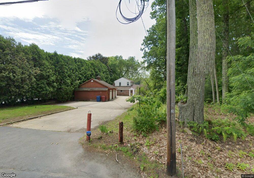
235 Pawtucket Blvd Tyngsboro, MA 01879
Estimated Value: $496,000 - $553,000
3
Beds
2
Baths
1,596
Sq Ft
$331/Sq Ft
Est. Value
About This Home
This home is located at 235 Pawtucket Blvd, Tyngsboro, MA 01879 and is currently estimated at $528,124, approximately $330 per square foot. 235 Pawtucket Blvd is a home located in Middlesex County with nearby schools including Tyngsborough Elementary School, Tyngsborough Middle School, and Tyngsborough High School.
Ownership History
Date
Name
Owned For
Owner Type
Purchase Details
Closed on
Nov 13, 2025
Sold by
Mccann Eric T and Mccann Taylor A
Bought by
Webster Frederick
Current Estimated Value
Purchase Details
Closed on
Jan 16, 2023
Sold by
Patricia Mccann T and Patricia Mccann
Bought by
Mccann Eric T
Purchase Details
Closed on
Feb 14, 2020
Sold by
Mccann Patricia E
Bought by
Patricia Mccann T and Patricia Mccann
Purchase Details
Closed on
Oct 3, 1995
Sold by
Silva Peter Est and Didonato
Bought by
Mccann Martin and Mccann Patricia
Home Financials for this Owner
Home Financials are based on the most recent Mortgage that was taken out on this home.
Original Mortgage
$64,000
Interest Rate
7.89%
Mortgage Type
Purchase Money Mortgage
Create a Home Valuation Report for This Property
The Home Valuation Report is an in-depth analysis detailing your home's value as well as a comparison with similar homes in the area
Home Values in the Area
Average Home Value in this Area
Purchase History
| Date | Buyer | Sale Price | Title Company |
|---|---|---|---|
| Webster Frederick | $460,000 | -- | |
| Mccann Eric T | -- | None Available | |
| Patricia Mccann T | -- | None Available | |
| Mccann Martin | $80,000 | -- |
Source: Public Records
Mortgage History
| Date | Status | Borrower | Loan Amount |
|---|---|---|---|
| Previous Owner | Mccann Martin | $80,000 | |
| Previous Owner | Mccann Martin | $68,500 | |
| Previous Owner | Mccann Martin | $64,000 | |
| Closed | Mccann Martin | $16,000 |
Source: Public Records
Tax History Compared to Growth
Tax History
| Year | Tax Paid | Tax Assessment Tax Assessment Total Assessment is a certain percentage of the fair market value that is determined by local assessors to be the total taxable value of land and additions on the property. | Land | Improvement |
|---|---|---|---|---|
| 2025 | $55 | $443,700 | $209,200 | $234,500 |
| 2024 | $5,111 | $401,800 | $190,300 | $211,500 |
| 2023 | $5,298 | $374,700 | $190,300 | $184,400 |
| 2022 | $5,239 | $350,700 | $166,300 | $184,400 |
| 2021 | $5,187 | $322,800 | $150,900 | $171,900 |
| 2020 | $5,155 | $317,200 | $150,900 | $166,300 |
| 2019 | $4,789 | $282,900 | $140,600 | $142,300 |
| 2018 | $4,852 | $283,600 | $140,600 | $143,000 |
| 2017 | $4,717 | $274,900 | $140,600 | $134,300 |
| 2016 | $4,595 | $261,700 | $140,600 | $121,100 |
| 2015 | $4,438 | $261,700 | $140,600 | $121,100 |
Source: Public Records
Map
Nearby Homes
- 271 Wellman Ave
- 251 Wellman Ave Unit 251
- 739 Wellman Ave
- 330 Wellman Ave
- 730 Wellman Ave
- 436 Wellman Ave
- 863 Wellman Ave Unit 863
- 1461 Pawtucket Blvd Unit 12
- 15 Dowling Dr
- 1401 Pawtucket Blvd Unit 10
- 1 Hope St
- 10 Butterfield St
- 1370 Varnum Ave
- 5 Mission Rd Unit 107
- 33 Kennedy Dr Unit 33
- 16 Middlesex St Unit 4
- 10 Worden Rd
- 29 Middlesex St Unit 1
- 20 Sandy Ln
- 30 Russell Rd
- 237 Pawtucket Blvd
- 241 Pawtucket Blvd
- 239 Pawtucket Blvd
- 240 Pawtucket Blvd
- 234 Pawtucket Blvd
- 244 Pawtucket Blvd
- 247 Pawtucket Blvd
- 248 Pawtucket Blvd
- 251 Pawtucket Blvd
- 253 Pawtucket Blvd
- 252 Pawtucket Blvd
- 259 Pawtucket Blvd Unit 261
- 254 Pawtucket Blvd Unit 256
- 232 Wellman Ave
- 230 Wellman Ave
- 230 Wellman Ave Unit 230
- 230 Wellman Ave Unit 230
- 233 Wellman Ave
- 238 Wellman Ave
- 227 Wellman Ave