235 Peel Rd Locust Grove, AR 72550
Estimated Value: $128,184 - $201,000
4
Beds
2
Baths
2,190
Sq Ft
$79/Sq Ft
Est. Value
About This Home
This home is located at 235 Peel Rd, Locust Grove, AR 72550 and is currently estimated at $172,395, approximately $78 per square foot. 235 Peel Rd is a home located in Independence County with nearby schools including Concord Elementary School and Concord High School.
Ownership History
Date
Name
Owned For
Owner Type
Purchase Details
Closed on
Jun 12, 2002
Sold by
Ausloos Lesa
Bought by
Ausloos Paul
Current Estimated Value
Purchase Details
Closed on
May 18, 2000
Bought by
Davis Doyle C and Davis Mary J
Purchase Details
Closed on
Jun 30, 1995
Bought by
Benoit Charles
Purchase Details
Closed on
Apr 11, 1995
Bought by
Benoit Charles
Create a Home Valuation Report for This Property
The Home Valuation Report is an in-depth analysis detailing your home's value as well as a comparison with similar homes in the area
Home Values in the Area
Average Home Value in this Area
Purchase History
| Date | Buyer | Sale Price | Title Company |
|---|---|---|---|
| Ausloos Paul | $15,000 | -- | |
| Ausloos Paul | $15,000 | -- | |
| Davis Doyle C | $20,000 | -- | |
| Benoit Charles | $8,000 | -- | |
| Benoit Charles | $8,000 | -- |
Source: Public Records
Tax History Compared to Growth
Tax History
| Year | Tax Paid | Tax Assessment Tax Assessment Total Assessment is a certain percentage of the fair market value that is determined by local assessors to be the total taxable value of land and additions on the property. | Land | Improvement |
|---|---|---|---|---|
| 2024 | $348 | $16,580 | $1,650 | $14,930 |
| 2023 | $423 | $16,580 | $1,650 | $14,930 |
| 2022 | $440 | $16,580 | $1,650 | $14,930 |
| 2021 | $440 | $16,580 | $1,650 | $14,930 |
| 2020 | $440 | $16,580 | $1,650 | $14,930 |
| 2019 | $348 | $15,980 | $1,420 | $14,560 |
| 2018 | $373 | $15,980 | $1,420 | $14,560 |
| 2017 | $372 | $15,980 | $1,420 | $14,560 |
| 2016 | $461 | $17,940 | $3,380 | $14,560 |
| 2015 | $461 | $17,940 | $3,380 | $14,560 |
| 2014 | $462 | $17,970 | $3,380 | $14,590 |
Source: Public Records
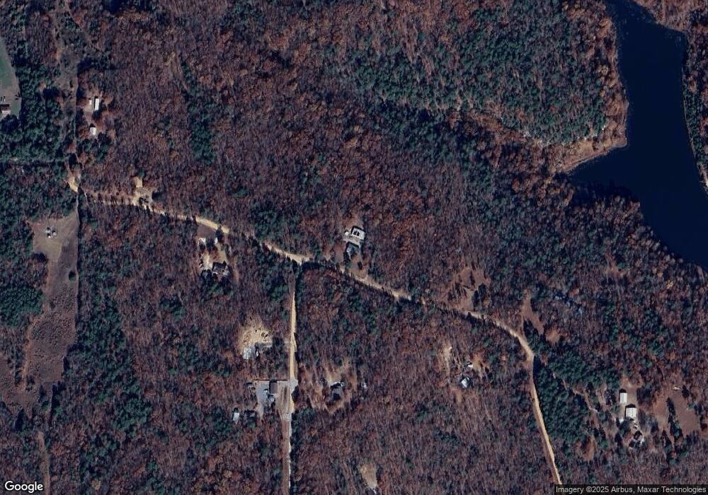
Map
Nearby Homes
- 300 Peel Rd
- 827 Cartwright Rd
- 000 Mountain View Rd
- 00 Cooper Rd
- 0 Heber Springs Rd
- 00 Bullard Rd
- 64 Lock 2 Rd
- 2540 Jamestown Lp
- 2540 Jamestown Loop
- 64 James Village Rd
- 155 Lower Yorktown Dr
- 155 Lower Yorktown Rd
- 1300 Jamestown Rd
- 989 N Bayou Rd
- Lots 27/28 Lower Yorktown Dr
- Lots 27 & 28 Lower Yorktown Dr
- 0 Morrison Rd Unit 22320525
- 0 Morrison Rd Unit 25000640
- 120 Upper Yorktown Rd
- 51 Yates St
- 0 Corner of Peel & Cantrell Unit 19-120
- 170 Peel Rd
- 0 Cantrell Rd Unit 14-631
- Lot 8 Cantrell Rd
- Lots 3 & 4 Cantrell Rd
- Lot 5 Cantrell Rd
- 99 Cantrell Rd
- Lot 2 Cantrell Rd
- 0 Cantrell Rd
- 9 Cantrell Rd
- 9 Cantrell Rd
- 275 Peel Rd
- 50 Cantrell Rd
- 0 Peel Unit 98-46
- 0 Peel Unit 98-49
- 0 Peel Unit 98-43
- 0 Peel Unit 97-150
- 0 Peel Unit 98-47
- 0 Peel Unit 97-144
- 0 Peel Unit 97-148