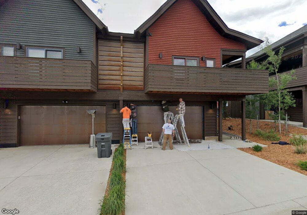
235 Pheasant Tail Ln Unit B Big Sky, MT 59716
Estimated Value: $1,646,000 - $2,095,000
3
Beds
4
Baths
2,670
Sq Ft
$697/Sq Ft
Est. Value
About This Home
This home is located at 235 Pheasant Tail Ln Unit B, Big Sky, MT 59716 and is currently estimated at $1,862,131, approximately $697 per square foot. 235 Pheasant Tail Ln Unit B is a home located in Gallatin County with nearby schools including Ophir Elementary School, Ophir Junior High School, and Lone Peak High School.
Ownership History
Date
Name
Owned For
Owner Type
Purchase Details
Closed on
Sep 7, 2022
Sold by
Jjmacgt Llc
Bought by
235B Pheasant Tail Lane Llc
Current Estimated Value
Home Financials for this Owner
Home Financials are based on the most recent Mortgage that was taken out on this home.
Original Mortgage
$1,912,500
Outstanding Balance
$1,827,899
Interest Rate
5.3%
Mortgage Type
New Conventional
Estimated Equity
$34,232
Purchase Details
Closed on
Jun 24, 2021
Sold by
King Capital Advisors Llc
Bought by
Jjmacgt Llc
Create a Home Valuation Report for This Property
The Home Valuation Report is an in-depth analysis detailing your home's value as well as a comparison with similar homes in the area
Home Values in the Area
Average Home Value in this Area
Purchase History
| Date | Buyer | Sale Price | Title Company |
|---|---|---|---|
| 235B Pheasant Tail Lane Llc | -- | -- | |
| Jjmacgt Llc | -- | Security Title Co |
Source: Public Records
Mortgage History
| Date | Status | Borrower | Loan Amount |
|---|---|---|---|
| Open | 235B Pheasant Tail Lane Llc | $1,912,500 |
Source: Public Records
Tax History
| Year | Tax Paid | Tax Assessment Tax Assessment Total Assessment is a certain percentage of the fair market value that is determined by local assessors to be the total taxable value of land and additions on the property. | Land | Improvement |
|---|---|---|---|---|
| 2025 | $4,973 | $1,502,600 | $0 | $0 |
| 2024 | $7,732 | $1,729,000 | $0 | $0 |
| 2023 | $7,880 | $1,747,300 | $0 | $0 |
| 2022 | $6,409 | $980,700 | $0 | $0 |
| 2021 | $6,252 | $980,700 | $0 | $0 |
| 2020 | $5,452 | $786,700 | $0 | $0 |
| 2019 | $5,023 | $786,700 | $0 | $0 |
Source: Public Records
Map
Nearby Homes
- 250b Pheasant Tail Ln Unit B
- 167 Pheasant Tail Ln Unit B
- 15 Salmon Fly Dr Unit 12
- 22 Limber Pine Place Unit 16
- 20 Limber Pine Place Unit 1
- 99 Town Center Ave
- 99 Town Center Avenue Unit R2 Ave
- 54 Marmot Ln
- 28 Aspen Leaf Dr
- 211 Town Center Ave Unit 3A
- 211 Town Center Ave Unit 2A
- 211 Town Center Ave Unit 3E
- 313 Spruce Cone Dr
- 3040 Two Moons Rd
- 2695 Curly Bear Rd
- 49 Bear Trap Ln
- 30 Whitefish Dr
- 27 Antler Drop Ct
- Lot 16 Upper Whitefish Dr
- Lot 20 Upper Whitefish Dr
- 235 Pheasant Tail Ln Unit A
- . Pheasant Tail Ln
- 255 Pheasant Tail Unit A
- 98 Pheasant Tail Ln Unit 3
- 98 Pheasant Tail Ln Unit 2
- 98 Pheasant Tail Ln
- 98 Pheasant Tail Ln Unit 1
- 98 Pheasant Tail Lane 1
- 80 Pheasant Tail Ln Unit 1
- 80 Pheasant Tail Ln Unit 2
- 80 Pheasant Tail Ln Unit 3
- 98 Pheasant Tail Lane Unit 3
- 245 Pheasant Tail Ln
- 245a Pheasant Tail Ln Unit A
- 136B Pheasant Tail Ln
- 81 Pheasant Tail Ln
- 99 Pheasant Tail Ln
- 99 Pheasant Tail Ln Unit 3
- 99 Pheasant Tail Ln Unit 2
- 81 Pheasant Tail Ln Unit 1
Your Personal Tour Guide
Ask me questions while you tour the home.